As it stands, Pima County’s well-known Loop paved path system is not technically a loop.
While largely complete, there are a few short stretches where cyclists and pedestrians must leave the path and take roadway detours to pick it back up again.
However, work on tap in 2017 will bring a closed, car-free metro circuit much closer to reality. Additional projects planned for other parts of The Loop, as well as separate path systems that feed into at, will add safety features and distance to what already resembles a parallel road system for walkers, runners and riders.
There will also be some construction-related delays, all of which your humble columnist will summarize so you can better plan your all-but-certain-to-succeed New Year’s resolution to put some miles on your recently unwrapped bike or sneakers.
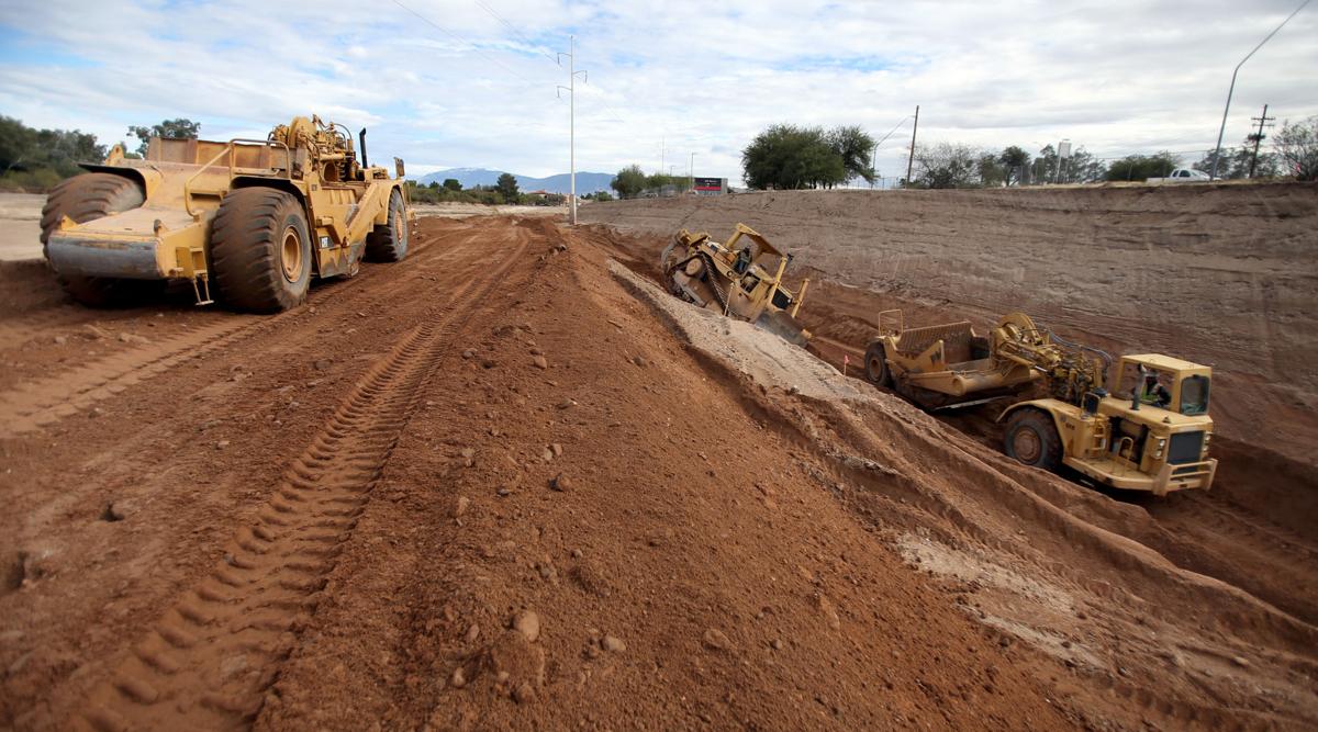
One of the largest remaining gap in The Loop is between East Tanque Verde Road and North Craycroft Road in Pantano River Park. Crews are already working on a path extension between Tanque Verde and East Glenn Street, which is expected to be complete by fall 2017 and gets more than halfway to tying the two strands together.
Matt Zoll, Pima County’s bicycle and pedestrian program manager, said crews are “moving really fast, and there’s even a chance they’ll have the path paved by summertime.”
The county is also in conversation with property owners near Fort Lowell Park to explore the possibility of a final south bank leg from Glenn to Craycroft, which would finish that off.
Bill Satterly, with Pima County Real Property Services, emphasized that, “We’re in the early, preliminary stage right now, to see if it will work or won’t work.”
There’s also work afoot in the Marana area. Already underway is an extension of The Loop from the El Rio Neighborhood Park in the Continental Ranch area north to West Avra Valley Road, which should be completed by the spring, according to Marana Parks and Recreation Director Cynthia Nemeth-Briehn. It will pass through the El Rio Preserve, which the town is hoping will become a prime bird-watching destination.
Further east, crews working on Tangerine Road are adding a dedicated paved bike path that will pass by the planned 18-acre Tangerine Sky Park, which itself will have a number of trails and multi-use paths. The Tangerine path will connect with the similar path that parallels Twin Peaks Road, and eventually to the Loop system near Oro Valley, according to Nemeth-Briehn.
Closer to the urban core, the city and county are also moving forward in 2017 on different sections of what will eventually be the 6-mile El Paso and Southwestern Greenway.
Much of the path will be put in by the Pima County Regional Wastewater Reclamation Department’s contractor KE&G Construction Inc., which is upgrading the sewer system between West Simpson and 36th streets. In 2017, the county will put in a connection for bikes and pedestrians between 29th Street and South 11th Avenue, as well as a roadside multi-use path, according to Nancy Cole, with the county’s project management office.
The access road for the sewer project from 25th Street to 36th Street, which will eventually double as the greenway, will be paved by the early summer, according to Cole.
For its part, the city of Tucson is moving ahead on right-of-way acquisitions for its portions of the greenway. Work on the path between West 22nd Street and Simpson isn’t expected until 2018, according to Andy McGovern, of the city’s transportation department.
When complete, the greenway will stretch from Barrio Anita to the Kino Sports Complex.
There will also be some path closures in the year to come, though they are largely designed to accommodate improvements.
Starting Jan. 9, crews will build a bike and pedestrian bridge over North Camino de la Tierra on the south bank of the Rillito River. It is currently an at-grade crossing that Zoll said can be dangerous.
“Sometimes traffic is going 45 to 50 mph there,” he added.
Users will be redirected to the other side of the Rillito to continue on their way until the bridge is complete in early September. Zoll said The Loop’s crossing of South 12th Avenue will also be made safer in 2017 with speed tables, and there is consideration of similar work at its South 10th Avenue crossing.
The Arizona Department of Transportation’s massive West Ina Road-Interstate 10 interchange project will shut down portions of The Loop near Ina for about two years. When it reopens, however, there will be underpasses on both sides of the Santa Cruz River, access ramps to Ina and bike lanes and sidewalks along Ina. The ongoing Sunset Road project, which includes a bridge over the Santa Cruz, has also caused some delays on The Loop, but the work is expected to be completed by the end of April at the latest.
Thanks for reading, and have a safe and happy New Year!


