


That predicted wet week finally arrived Tuesday evening and is expected to stick around.
Meteorologists had predicted that Tropical Storm Frank would push significant moisture north from its location off Baja California by Sunday, July 24. But Frank, which briefly became a full-fledged hurricane, blew off to the west.
We still had moisture surges, as evidenced by the sticky, icky air out there, but the other necessary elements didn’t line up.
Bottom line: We waited a couple more days for the monsoon to return to Tucson, where the last really wet day had occurred July 1.
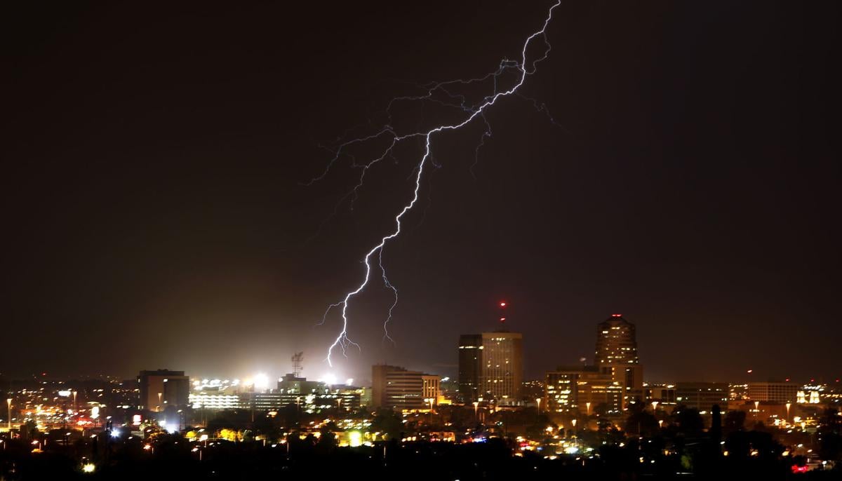
On Tuesday, a line of thunderstorms rolled in east to west, bringing thunder, lightning and half an inch of rain or more to much of the region. Wednesday evening brought mostly winds — some gusts over 60 mph, mostly on the city’s north and east sides.
Conditions now favor daily repeats well into next week. “Rim shots” — large, organized thunderstorms that build up over the mountain ranges of the Mogollon Rim and blow into the desert floor in the afternoon and evening — are expected, said University of Arizona meteorologist Mike Leuthold.
That doesn’t mean Tucson and Phoenix will get rain every day, he said. “You have to have all the ingredients come together. Just a very small change in conditions can produce a huge difference in result,” Leuthold said.
Thursday, July 28, looks to be a little drier, but Friday should bring another big moisture surge. The National Weather Service has a 20 percent chance of rain Thursday, and has upped its chances for precipitation to 30 percent Friday through Tuesday.

