In The Foothills II subdivision of the Catalina Foothills, the streets are named for places in the Santa Catalina Mountains, including one, Mercer Spring Place, derived from a now dry spring in Molino Basin.
The spring, in turn, is named for Caddell N. “Dell” Mercer, an early rancher in Molino Basin.
He was born in 1903 in a family home that is now part of the old Blue Front Inn on Main Street in Mammoth. The Mercer family had been in the Arizona Territory since T. Lillie Mercer arrived in Tubac in the 1870s.
Dell’s father, James "Jimmie" Mercer, was later hired by the Pima County Sheriff’s Department as a county ranger to help stop cattle rustling. In this role, in December 1914, he was ambushed by a suspect on a ranch near Pantano, Arizona, and killed. A sign in the area now honors his memory, but lists him as a “deputy sheriff”.
Dell’s mother, Bessie, and Jimmie had divorced in about 1909, and in 1911 she married John (Tewksbury) Rhodes, who adopted Dell and his brothers Virgil and Edgar; the couple later had a son, Tom Rhodes.
The family moved to the old Atchley ranch across the San Pedro River from Mammoth, and then south a few miles to the 111 Ranch, formerly owned by John Schoenholzer, (pronounced Shown-Holzer), namesake of Schoenholzer Canyon in the Galiuro Mountains.
Later they relocated to the foothills of the Galiuros to what they called the Home Ranch, where Dell lived most of his early life. His mother named an odd-shaped rocky hill near the family home Wildcat Hill after hearing a wildcat growling on it.
Rhodes also at one point obtained the nearby YLE Ranch, namesake of YLE Ranch Road and YLE Canyon.
In 1927, Dell, then 24 and living in or near Globe, wed Pearl Swingle. The couple would have three children, Lois, Lloyd and Edgar.

The Blue Front Inn in Mammoth, birthplace of Dell Mercer, photographed last January.
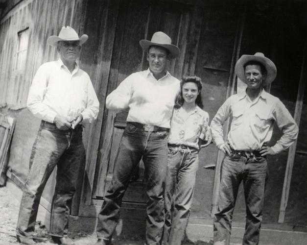
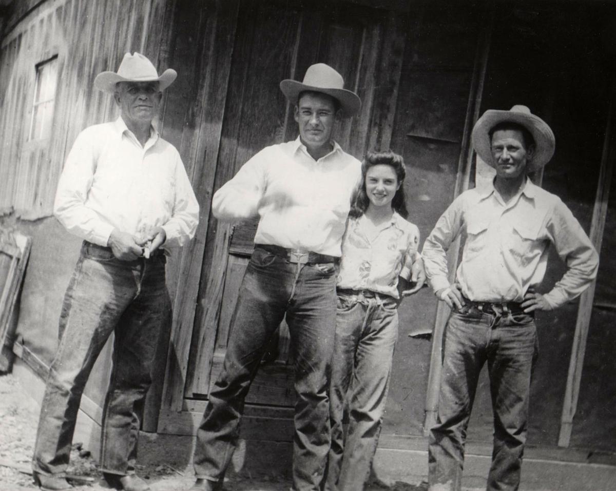
Two years later, Dell obtained some land in the foothills of the Santa Catalina Mountains, with his stepfather John Rhodes staking him 50 to 60 cattle to help start the ranch. Along with his brothers, Edgar Mercer and Tom Rhodes, and a cowboy named Charles Fowler, he drove the cattle from the San Pedro River area to Molino Basin in the Catalinas.
The land at the bottom of the Catalinas, in the foothills, had a ranch house, a tin shed, corrals and loading chutes.
Lois Mercer, years later, wrote about the second ranch at Molino Basin: “There was a camp and corrals up in the mountains where we lived in tents and cooked over a campfire all summer. Dad packed all our supplies up the mountain by pack mule. It was a very rough ranch, mostly rock. I rode on a pillow in front of mom. I would play in the dirt at the camp, and sometimes she would find me asleep in a cow pie or trying to eat juniper berries.”
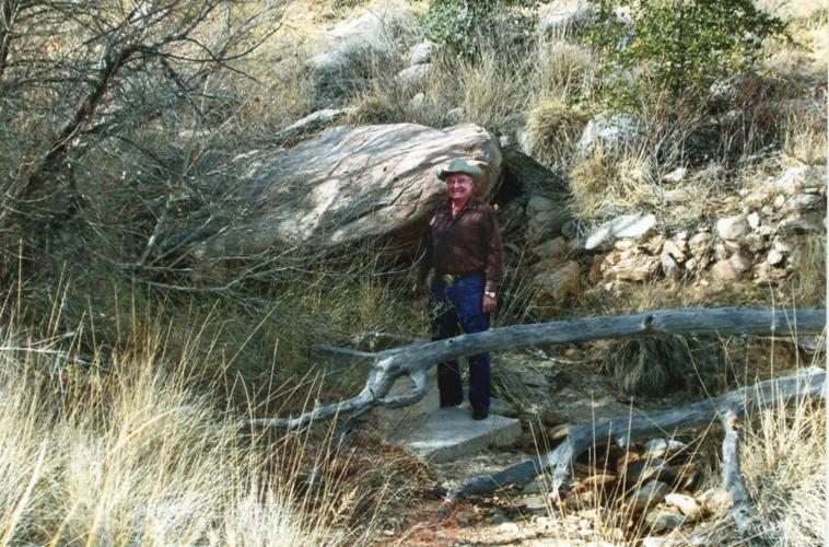
There was a natural spring near the camp that provided water for the family and whose name would carry on the family’s legacy long after they had left the land.
In October 1933, a temporary prison camp was set up at the bottom of the mountain, about 2 miles east of the Mercer Ranch, to house the prisoners who would build the road up to Summerhaven. Dell was employed as a packer to transport supplies from the prison camp to a temporary road survey camp at Bug Spring.
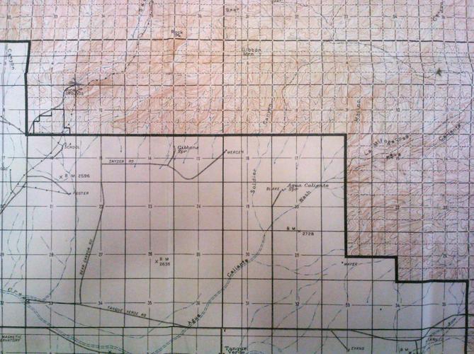
In 1936, the U.S. Geodetic Survey, a federal agency, was in the midst of an extensive project to survey Arizona and other locations across the U.S. That year, a survey crew traveled north on Bear Canyon Road and then east on Snyder Road, through Jesse and Maude Snyder’s homestead, and past the painted sign that read “Mercer Ranch” to arrive at the family’s house.

Mercer Ranch shown in a 1930s map.
At one point during the survey process, the crew climbed for about an hour to the foothill ridge, just west of Soldier Canyon in the Catalinas, and placed a survey benchmark on a knoll, labeling it “Mercer.” The crew also installed a corresponding azimuth mark in the Mercer Ranch yard, at the foot of the ridge. This mark still appears on USGS maps as “Mercer” or “Mercer, 3792” and is sometimes mistaken for a mountain or peak name.
The next year, when crews began to construct the part of the road just above the Mercers’ camp at Molino Basin and to dynamite rock there, the prisoners would call down to warn Pearl. She would grab her children, run as far down the canyon as they could and hide behind trees, so they wouldn’t get hit by flying rocks.
Around 1940, the U.S. Forest Service canceled Dell’s grazing permits, which ended the second ranch in Molino Basin, forcing him to sell off most of his cattle.
Lois would write, “I was twelve when I went out on the last round up. We brought the cattle off the mountain on the road the prisoners built. Now the road to Mount Lemmon goes right through our old horse pasture in the foothills. ... It’s also wall-to-wall houses now, where before there were no houses for twenty miles around.”
Around 1943, Dell and Pearl divorced and within two years he sold the Mercer Ranch at the bottom of the mountain.
He moved back to Mammoth and began farming along the San Pedro River and training race horses, which he raced in Tucson and Phoenix. He met and married much younger Lydia Parra Bufanda; they would have children Kenneth, Thomas, Lydia, Dell Mario and Larry.
Dell sold the Mammoth farm and purchased Rancho Tabiquito near Carbo, Sonora, and leased a smaller nearby ranch, El Ranchito.
During the time at the ranches, mountain lions would often kill Dell’s young horses and cows, resulting in him purchasing hunting dogs and tracking and killing several mountain lions.
His second wife Lydia, now 93 years old, recently recounted, “Dell was also hired by local ranchers, near and far, to rid them of predatory mountain lions. ... The most … famous client was Clark Gable, which he took on a mountain lion hunt. Mr. Gable’s commitments in Hollywood cut his trip short and they were not able to get their prey. Dell would comment that Clark was very athletic and a likable fellow.” This event is recounted in the book “ONZA! The Hunt for a Legendary Cat” by Neil B. Carmony.
In the late 1970s, Dell sold Rancho Tabiquito and relocated with the family to California, where he remained until his death in 1997.

Kenneth Mercer, standing at Mercer Spring at the Molino Basin in January 2018.

Lois Mercer, Pearl Mercer & Bessie Rhodes at tent camp near Mercer Spring ca. 1930.


