


Saturday, June 15, marks the beginning of monsoon, and while we likely won’t mark the occasion with rain, Tucsonans may see signs of the season in the upcoming week.
According to John Glueck, a forecaster at the National Weather Service in Tucson, monsoon rain usually starts around the Fourth of July. Last year, according to a 2023 monsoon report, rainfall began on July 17. Though the National Weather Service wasn’t predicting clouds and rain until after the Fourth of July about a week ago, Senior Forecaster Alex Edwards says that high build-ups might increase Tucson’s moisture sooner.
“There’s going to be some uncertainty around that,” Edwards said. “For now, the pattern looks favorable for well above normal temperatures, which will be pretty hot.”
Tucson recorded its driest monsoon a century ago in 1924 with 1.59 inches of rain. The city’s wettest season was in 1964, with 13.84 inches of rainfall. There’s a 40% chance that Tucson will be dryer than normal this summer, unlikely to reach the rainfall average of 5.69 inches.
This week, Tucson’s high temperatures ranged from 101 to 109 degrees, peaking on Wednesday. Unexpected clouds from the south filled the sky on Thursday, sticking around Tucson longer than expected.
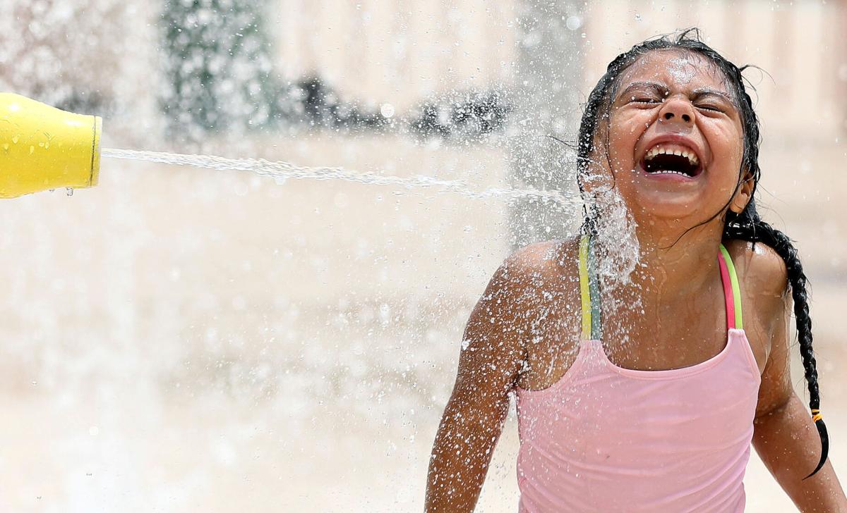
Most of Southern Arizona will be under an excessive heat warning this weekend; on both Saturday and Sunday, temperatures are expected to reach 107.
“We do drop off a few degrees early next week,” Edwards said. “So, Monday 104, Tuesday 102 and then we pick back up.”
According to the National Weather Service’s seven-day forecast, Wednesday will be 104 degrees, followed by 111 and 109 on Thursday and Friday.

