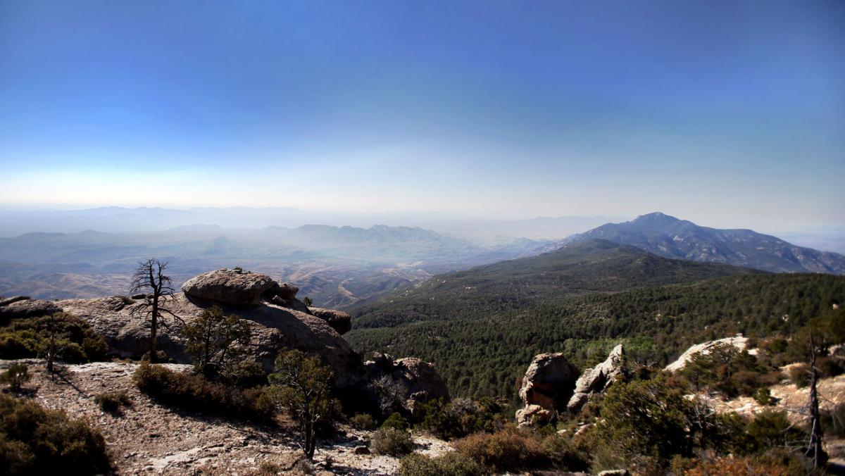
The Rincon Mountains east of Tucson will be on fire in mid-October with smoke billowing off 8,666-foot Mica Mountain, the highest peak in the range, if a planned prescribed burn is carried out on schedule.
The burn is intended to reduce buildups of downed trees and underbrush and thereby limit the danger of explosive wildfires in surrounding ponderosa pine forests.
Fire officers at Saguaro National Park, which manages the area, say five trails will be closed and some backcountry camping sites will be limited during burning operations on up to 280 acres of land.
Smoke will be visible from Tucson and could be present along backcountry trails for at least a week.
AVOIDING TREETOP FIRES
“The goal is to clear out the forest floor and avoid fire in treetops,” said Michelle Fidler, fire communication and education specialist with the National Park Service.
“The prescribed fire will mimic the role of lightning-ignited fires,” Fidler said. “The plan is to use low to moderate intensity fires — something that would burn hot enough to remove the dead and down fuels” without spreading up to the treetops.
That treatment is intended to limit wildfires such as the 2014 Deer Head Fire, which burned more than 1,000 acres near the area of the planned prescribed fire, Fidler said.
WEATHER FACTORS
“We will only do the burn if environmental factors are favorable in terms of wind, temperature and humidity,” Fidler said. “Some moisture would be good, but it needs to be warm enough to dry out again. It can’t be too wet or too dry.”
The burn could begin in mid-October or sometime after that depending on conditions, she said.
She said approximately 280 acres will be divided into three burn units with ignitions continuing for about three to five days.
“We anticipate that 13 people or so will do the work, but that’s flexible depending on the conditions,” Fidler said.
CLOSURES AND SMOKE
Backcountry trails that will be closed during the burn operations include Bonita, Mica Mountain, Mica Meadow, Spud Rock (between the junctions of Mica Mountain and Fire Loop), and Fire Loop (between the junctions of Heartbreak Ridge and Italian Spring).
Users of the cross-state Arizona Trail, which passes through the area, can expect temporary delays.
Availability of the backcountry Manning Camp Campground will be limited during the prescribed burn.
Because the burn area will be on the highest peak of the Rincon Mountains, officials said smoke will be visible from Tucson, Redington Pass and Benson during the burn.


