Editor's note: This story originally ran in June 2019 when outdoors reporter Doug Kreutz retired from the Star, capping a 32-year career at the newspaper. He also worked at the Tucson Citizen and the Rocky Mountain News in Denver.
It has been my privilege and pleasure to share stories and photos of the great outdoors with readers of the Arizona Daily Star.
As I conclude a 47-year career in newspaper journalism, I offer a look at what I believe are the Top 10 trails in Southern Arizona.
Some of the routes traverse desert terrain, others follow rocky ridges, and higher-altitude trails — ideal for this season — reach forested heights of more than 9,000 feet.
Some of the trails are north of Tucson. Others lie to the east, south and west. Some are relatively easy, others very challenging.
So let’s get started. Wear clothing and footwear appropriate for the weather and altitude, use sun protection and carry plenty of water and food. Be sure to let someone know where you and your companions will be hiking and when you expect to return.
On to the trails!

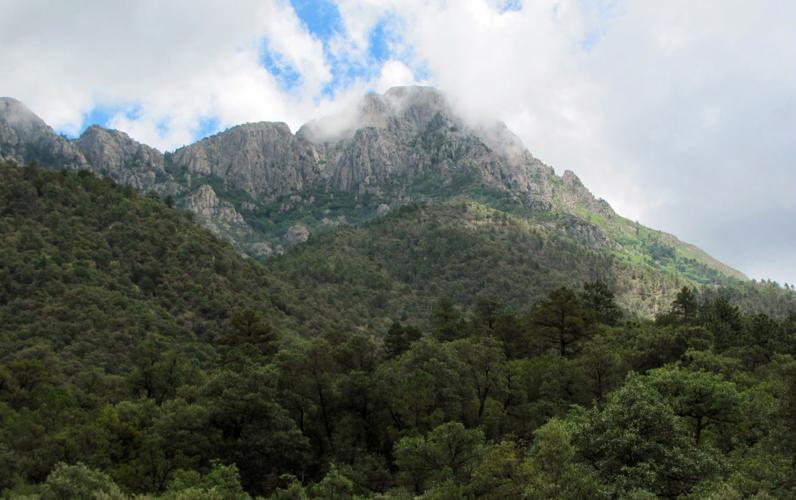
A cloud-capped Mount Wrightson towers above Madera Canyon south of Tucson.
MOUNT WRIGHTSON
This 9,453-foot summit is the high point of the Santa Rita Mountains south of Tucson — and the 5½-mile Old Baldy Trail is the most direct route to the top. It’s also steep, ascending more than 4,000 vertical feet along the way.
But there are rewards for the effort. Known to many hikers as Old Baldy because of its treeless, rocky summit, the peak offers spectacular views. Sights along the way include pine and fir forests, gurgling springs, summer wildflowers and wildlife ranging from colorful birds to black bears.
The trailhead is at the end of the road in Madera Canyon southeast of Green Valley. Allow plenty of time for the round-trip hike of about 11 miles.

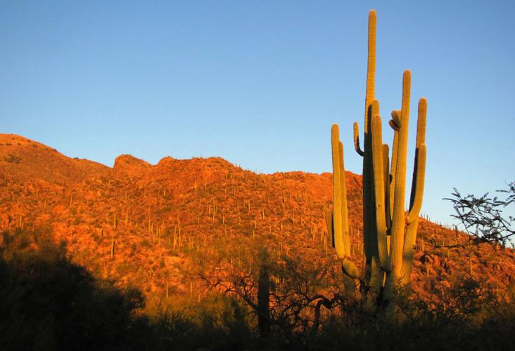
The sun sets along the Ventana Canyon Trail, cut into the front range of the Catalinas.
VENTANA CANYON TRAIL
Slashed into the front range of the Catalina Mountains north of Tucson, this trail offers anything from a short walk before sunset to a demanding daylong ascent to a rock window, ventana in Spanish.
The 6½-mile trail, which ascends 4,000 vertical feet, makes for a challenging nearly 13-mile round trip for those who make it to the window in the rock — and back.
As with other great trails, the sights along the way make the effort seem worthwhile.
Scenery ranges from saguaro desert terrain to a zone of ponderosa pine forest in the upper reaches.
The highlight is a weather-carved stone arch, or window, that’s about 25 feet wide and 15 feet high.
The trailhead is at a hikers’ parking lot at Loews Ventana Canyon Resort, 7500 N. Resort Drive.

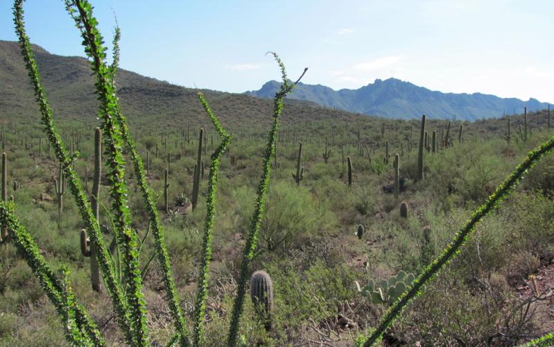
Greenery along the Brown Mountain Trail in Tucson Mountain Park, west of the city.
BROWN MOUNTAIN TRAIL
A relatively short route at an elevation just topping 3,000 feet, the Brown Mountain Trail west of Tucson presents a hike with only moderate difficult but plenty of pleasing scenery.
The 2½-mile trail connects two trailheads along Kinney Road near the Arizona-Sonora Desert Museum.
Some hikers trek the trail out and back from one trailhead. Others arrange a vehicle shuttle and hike the route one way.
From either starting point, the trail climbs gradually to two high points offering 360-degree views of cactus forests and distant mountains.
Find one convenient trailhead at the Juan Santa Cruz Picnic Area along Kinney Road.

The Tanque Verde Ridge Trail is an out-and-back path going all the way to Tanque Verde Peak.
TANQUE VERDE RIDGE TRAIL
This route in Saguaro National Park east of Tucson, like some other trails in this guide, can provide a moderate hike or something more like an endurance test.
Beginning near the Javelina Picnic Area in the park, options range from a 1½-mile walk in desert terrain to a nearly 7-mile one-way trek to Juniper Basin.
Those feeling especially fit and frisky can follow the trail all the way to 7,049-foot Tanque Verde Peak — but that round-trip journey of 18 miles pushes the limits of the term “day hike.”
BUTTERFLY TRAIL
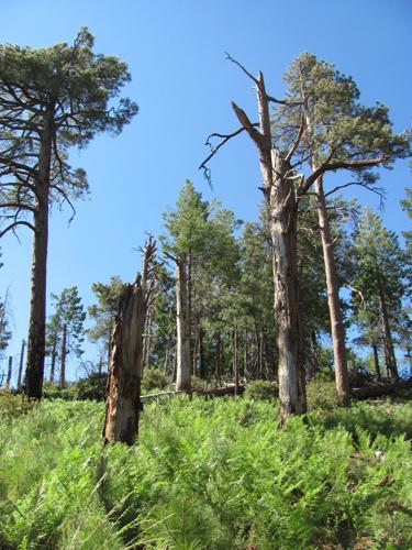
High in the Catalina Mountains north of Tucson, this route takes hikers into a cool fir forest and wild gardens of ferns.
The nearly 6-mile Butterfly Trail, which connects two trailheads along the Catalina Highway, lies at elevations ranging from 6,700 feet to 8,300 feet.
It offers gentle walking in some stretches and fairly steep trekking in others.
One trailhead is past mile marker 19 on the highway, and the other is past mile marker 22.
ACCESSIBLE TRAIL
Hikers will find plenty of challenging trails in Madera Canyon south of Tucson — but some of the canyon’s best scenery lies along a route accessible not only to hikers, but people in wheelchairs.
The less-than-a-mile Accessible Trail, surfaced and mostly flat, leads first through woodlands of mesquite and oak.

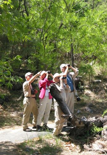
Bird-watchers look through their binoculars along the Accessible Trail in Madera Canyon in 2007.
Then it enters a riparian, or stream-side, zone along Madera Creek where visitors, including those with mobility issues, pass towering cottonwood trees and other vegetation.
Birds are abundant, and other wild animals including deer are sometimes seen along the trail, which begins at the Proctor Parking area in the canyon.
BLACKETT’S RIDGE TRAIL
This route, overlooking Sabino Canyon northeast of Tucson, is only about 3 miles long one way, but hikers climb nearly 1,700 vertical feet on the way to the top of the ridge.
From a trailhead near the canyon visitor center, follow the Bear Canyon Trail east to the Phoneline Trail and continue up the Phoneline to a signed junction with Blackett’s Ridge.
The route up the ridge climbs gradually at first and then spits hikers out onto a series of very steep, rocky switchbacks.
Those who stick it out to the top are rewarded with expansive views of Sabino Canyon and the Catalina Mountains.

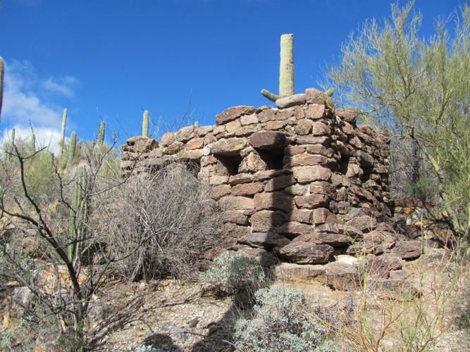
In this 2017 photo, an old stone-walled building, built by the Civilian Conservation Corps in the 1930s, is visible along the King Canyon Trail in Saguaro National Park west of Tucson.
KING CANYON TRAIL
This route, in Saguaro National Park west of Tucson, offers options.
Hike less than a mile from the trailhead and you’ll arrive at a picnic site and some nearby ancient petroglyphs, or rock carvings, along a wash.
Follow the trail 3½ miles to the 4,687-foot summit of Wasson Peak, where you’ll get sweeping views of the Tucson Valley and surrounding mountains.
The trailhead is on the right side of Kinney Road just past the entrance to the Arizona-Sonora Desert Museum.
ASPEN-MARSHALL GULCH LOOP TRAIL
Aspens, maples and other trees provide sylvan summer beauty along this nearly 4-mile loop high in the Catalina Mountains.

A popular hike on the loop formed by the Aspen and Marshall Gulch trails in the Catalina Mountains in 2013.
The route begins at trailheads at the end of the road in Marshall Gulch, about a mile south of the mountain village of Summerhaven.
The Aspen leg of the trail extends 2½ miles to its intersection with the Marshall Gulch Trail, which descends gradually just over a mile back to the starting point.
Elevations along the way range from 7,500 to 8,000 feet.

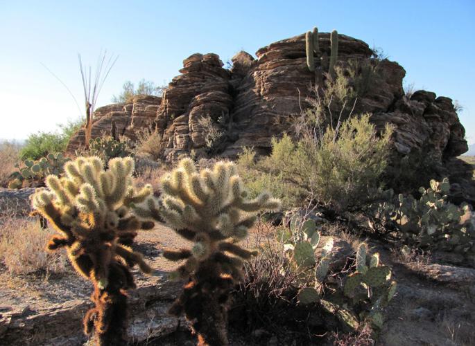
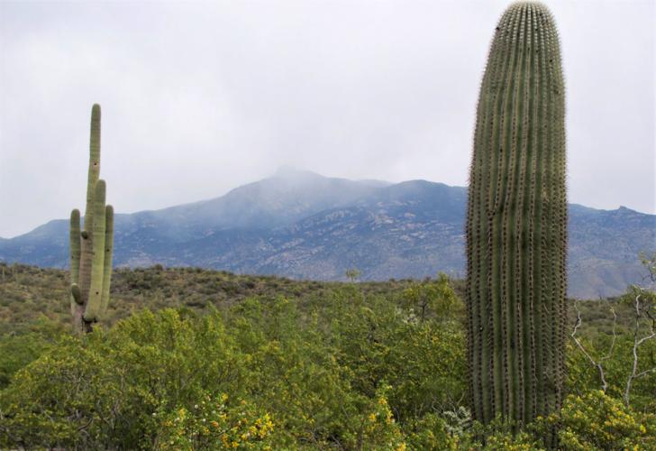
Cacti frame a distant view of Rincon Peak, shrouded in cloud in 2019.
RINCON PEAK TRAIL
Rincon Peak, that knobby summit near the southern end of the Rincon Mountains east of Tucson, might look innocent enough — but it’s far from a pushover of a peak.
Getting to the top of the 8,482-foot mountain involves a round-trip trek of about 16 miles and a vertical elevation gain of 4,300 feet.
Not only is the hike very challenging, but reaching the trailhead on the eastern side of the Rincon range requires a fairly long drive.
On the plus side, those who reach the mountain’s summit will find halfway-to-heaven views.
To reach the trailhead, take Interstate 10 east from Tucson to the Mescal Exit. Then drive generally north 16 miles on unpaved roads to the Miller Creek trailhead.

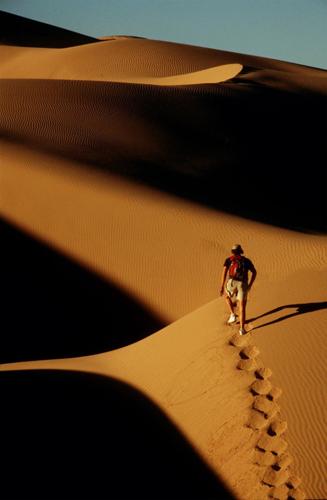
Doug Kreutz, who is retiring after a 32-year career at the Arizona Daily Star, treks the Imperial Sand Dunes west of Yuma.


