

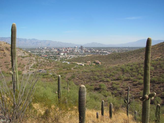
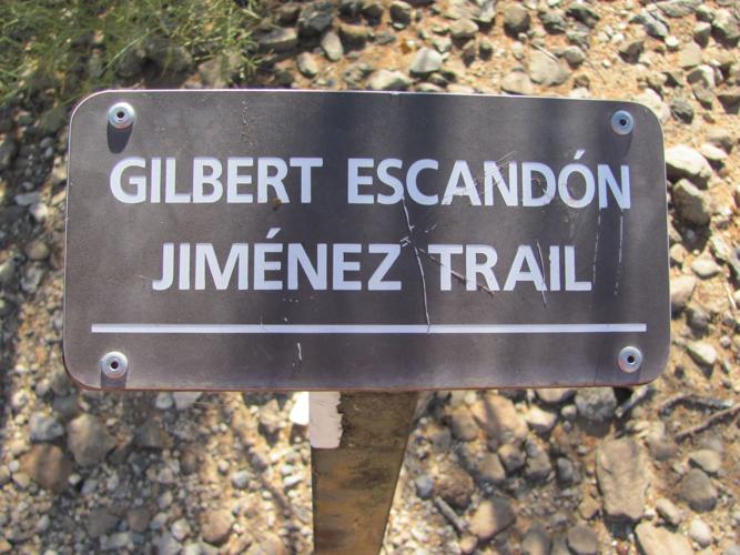

Tucsonans typically think of “A” Mountain as a place for a scenic drive rather than a hike — but the Gilbert Escandón Jiménez trail could change your mind.
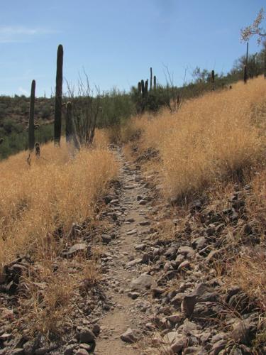
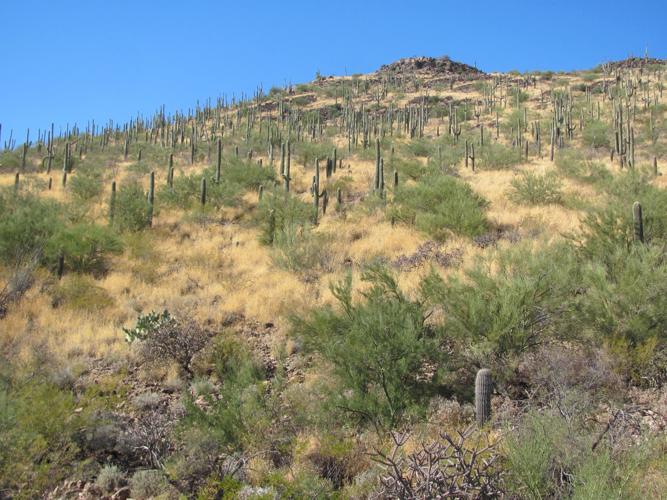
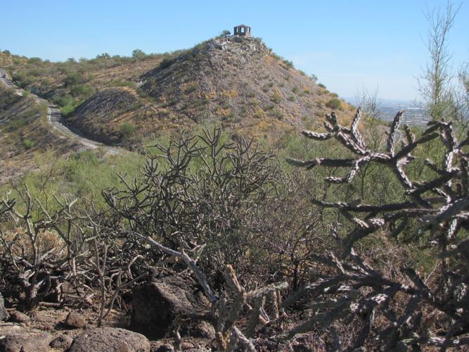
The route winds through classic Sonoran Desert terrain and serves up grand views of nearby Tumamoc Hill, the downtown skyline and an old stone shelter high on the mountain, which is also known as Sentinel Peak.
Formerly known as the Sentinel Ridge Trail, the rocky path was renamed in 2012 for Jiménez, who hiked on the little peak and helped maintain its trails for more than 70 years.
The trail begins at a lower parking lot along the road leading up the 2,897-foot peak. From that starting point, it climbs along hillsides to a ridge and then ends at an upper section of the road. A round-trip trek is roughly 2.5 miles, but the trail doesn’t take hikers to the top of the peak.
Some hikers follow the trail to its upper end and then continue along the side of the road to the summit of “A” Mountain, which has had that alternate name since 1915 when University of Arizona students began construction of a huge “A” on the peak.
GET TO THE TRAILHEAD
Follow West Congress Street west of Grande Avenue and turn left onto Cuesta Avenue. Follow Cuesta as it becomes the road leading up “A” Mountain. The trailhead is along the road at the first parking lot on the right.

