

The city lies at your feet. The mountain guards your back. Your route switchbacks toward the sky.
That's the scenic setting on the Pontatoc Ridge Trail in the Catalina Mountains north of Tucson.
A vigorous jaunt up the 2.6-mile trail delivers a yin-yang mix of wilderness and urban vistas — not to mention a chance to work off some of the blubber many of us pack on during the calorie-dense holiday season.
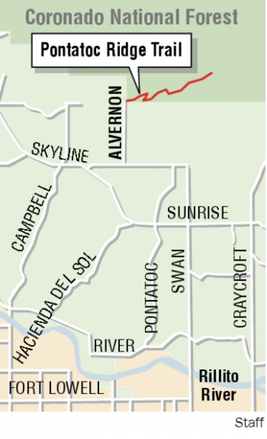
Another plus: You won't burn up lots of precious gasoline to reach the trailhead; the route begins at the easy-to-reach northern dead-end of Alvernon Way.
You'll want to watch for two important trail junctions to make your way onto the Pontatoc Ridge Trail.
The first comes just a minute or two into the hike at the crest of a small ridge. The Finger Rock Canyon Trail goes to the left. You want to take the right fork — which begins as a shared route for the Pontatoc Canyon and Pontatoc Ridge trails.
Less than a quarter-mile up the trail, you'll pass some easily accessible rock outcrops providing a good vantage point to marvel at — or bemoan — the cluster of large, high-end homes that have sprung up near the trailhead.
The hiking route, which traverses a rich botanical mix of saguaros and other Sonoran Desert vegetation, passes through a drainage and switchbacks up a rise to a second junction. Here, the Pontatoc Canyon Trail is the left fork. Take the right fork to ascend Pontatoc Ridge.
A few hundred yards after the junction, the trail leads around a ridge to expose views of the sprawling Tucson Valley. It then ascends — sometimes steeply, sometimes not — up Pontatoc Ridge. Along the way hikers pass through zones of enormous saguaros and dense stands of cholla.
High on the ridge, a bit more than two miles into the hike, you'll reach an overlook point that perfectly exemplifies the dual personality of the trail. Looking south, you'll be peering down at Swan Road and a vast expanse of Tucson. Turn around, look north, and you'll see Finger Rock and the rugged wilderness surrounding it.
At the end of the trail, having ascended about 1,300 vertical feet, you'll come to a sign marking the end of the hiking route. It's a good idea to heed the sign and turn around. Steep terrain and old mine diggings beyond the sign make it potentially dangerous to continue uphill.
Pontatoc Ridge Trail
Drive: Follow East Skyline Drive to North Alvernon Way. Turn north on Alvernon and follow it to a parking lot for hikers at its northern dead end.
When: Daylight hours. Early-morning and late-afternoon light can enhance views from the ridge.
Cost: Free
Et cetera: Some segments of the trail pass over slabs of bare rock. Cairns, or little piles of stones, will help you find the way over some of the bare-rock sections. Carry plenty of water, even in winter, because there is no permanent water source along the route. Shade is scarce, so bring sun protection.

