


Want visitors to think you’re the smartest tour guide ever as you drive them to the top of Mount Lemmon?
There’s a free app for that.
The University of Arizona College of Science has tapped the knowledge of many of its experts to create an audio guide to our most accessible Sky Island that narrates the one-hour drive from the desert floor to the mixed conifer forest atop the Santa Catalina Mountains.
The Mount Lemmon Science Tour is an outgrowth of the “Exploring Sky Islands” exhibit put together by the science center with help from the UA Department of Geosciences, said Shipherd Reed, marketing and communications manager for Flandrau Science Center.
For the tour, he drew from a host of UA scientists, many of whom have active research areas in the Santa Catalinas.
Rocks still have a central role in the story told to coincide with the drive up the mountain.
You’ll learn how UA geologists puzzled out the reason for the mix of rock atop the Catalinas, which led them to new theories on the formation of the Basin and Range Province — and to the astounding deduction that the volcanic formations of the Tucson Mountains far to the west, once sat atop these mountains.
The tour describes the vegetation changes as you go through the life zones of desert, grasslands, oak woodland and pine forest in your 6,000-foot ascent — the equivalent in climate terms of driving from Mexico to Canada.
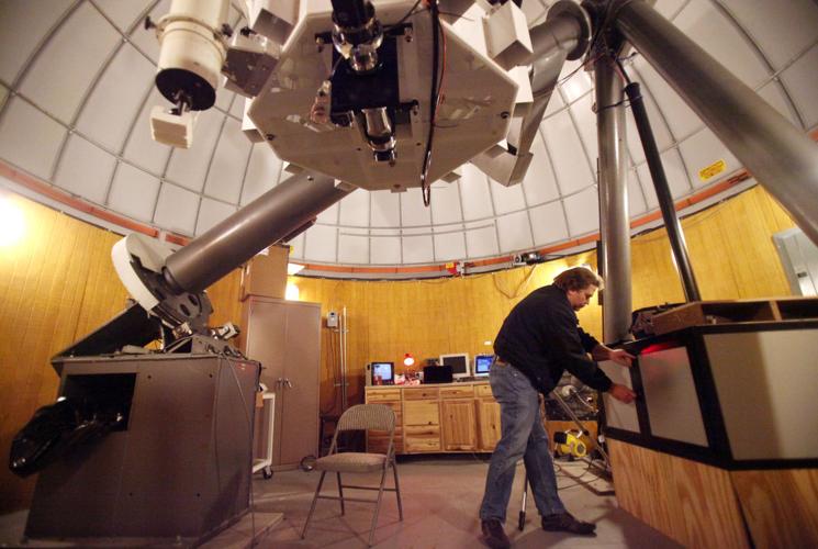
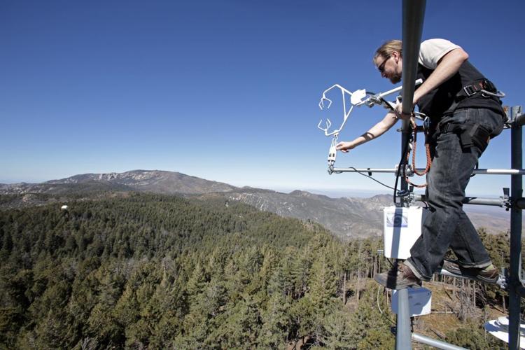
The tour is divided into six sections — sky islands, rocks, life zones, water, forest and fire. It begins in the Sonoran Desert at the foot of the mountains and ends in the aspen and mixed conifer forest just beneath the summit of Mount Lemmon, where the university runs six research telescopes.
The musical background is provided by Tucson-based Calexico, and the band’s guitarist and vocalist, Joey Burns, performs the narration.
The tour highlights the scientific questions asked, answered and still being pursued by UA scientists about the natural history of the mountain range.
You’ll encounter A.E. Douglass, the astronomer whose research into the climate record contained in tree rings led to our current knowledge of forest formation and fire history.
C. Hart Merriam, who developed the concept of “life zones” that change with altitude, makes an appearance.
You’ll also hear about the contemporary work of researchers in a variety of disciplines who are documenting the processes that occur in the Earth’s “critical zone” — the thin skin of the planet from aquifer to treetop where all of life’s magic takes place.
Got questions? The tour app has answers.
Who was Lemmon?
Why do they call the first overlook Babad Do’ag?
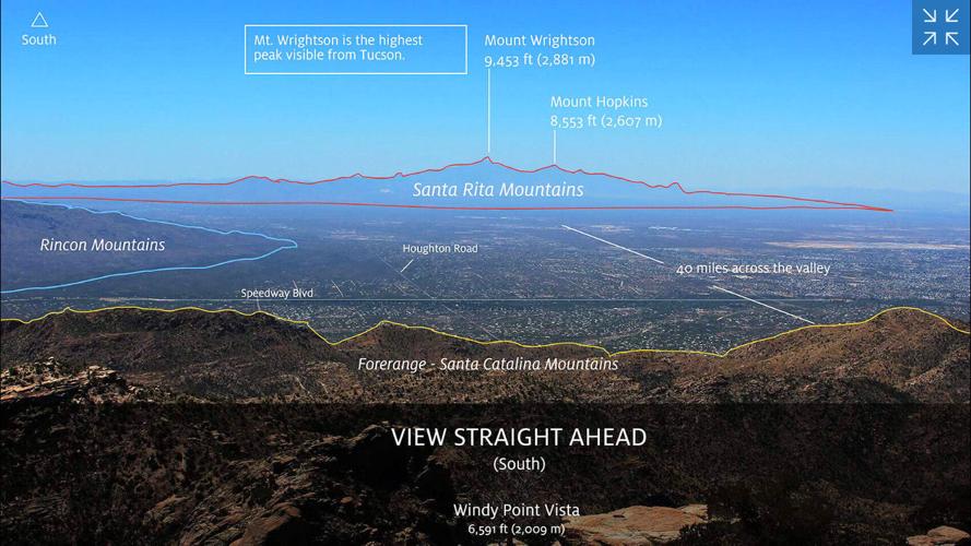
What’s that mountain range to the west from Windy Point overlook?
How did those weird stacked rocks called “hoodoos” get there?
The guided tour includes plenty of pictures and charts, explaining everything from the water cycle to the growth of the saguaro — and an admonition to wait until you are stopped at a pullout to check them out.
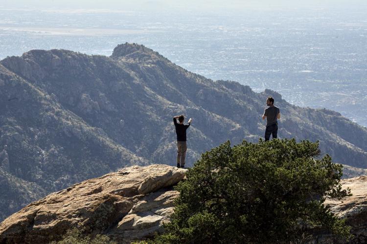
The tour recommends two stops, at Windy Point and Aspen Vista, for viewing the videos and for taking in the full panorama of distant Sky Islands from the south and north sides of the mountains.
If the tour leaves you wanting even more information about the region’s natural history, the app recommends a variety of resources to fill that need.
It also provides links to more Calexico music for the drive back down — if you can get a signal.
The tour’s content is loaded onto your phone because the drive up the Catalina Highway has “dead spots” for phone reception.
The app is available for free download on Apple and Android phones but is not yet available for tablets.
The app abbreviates “Mount Lemmon” as “Mt. Lemmon,” so use that spelling when searching the app store.

