


Storms didn’t develop Tuesday afternoon because there wasn’t enough heat buildup in Tucson, the National Weather Service says — the high was a cool 94 degrees.
But keep your umbrellas handy.
“Things could get fired up again in the next couple of days because we are in a nice weather pattern, and there is a lot of moisture,” said Rob Howlett, a meteorologist for the weather service in Tucson.
“We are getting into that time of the year that we will have a 30 to 40 percent chance of showers hitting the Tucson area. It just depends where you live,” he said.
“The mountains for sure will get rain, and in the Tucson valley there will be isolated to scattered showers and thunderstorms into the weekend,” Howlett predicted.
Tuesday’s high in Tucson was 94 degrees, and the low was 70 degrees.
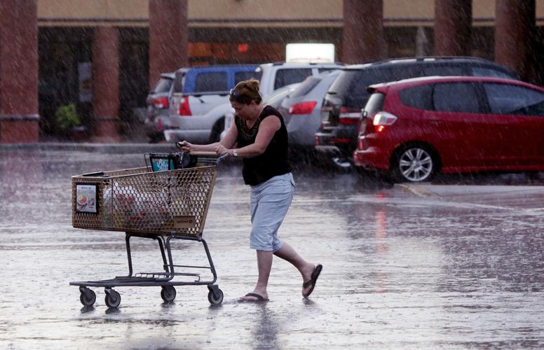
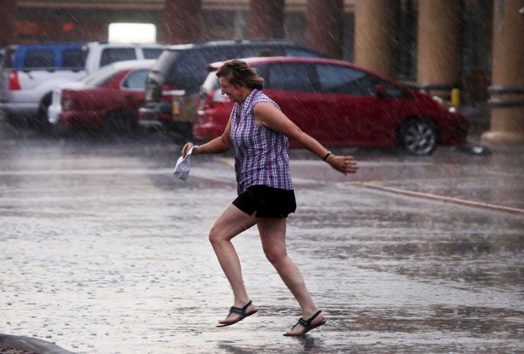
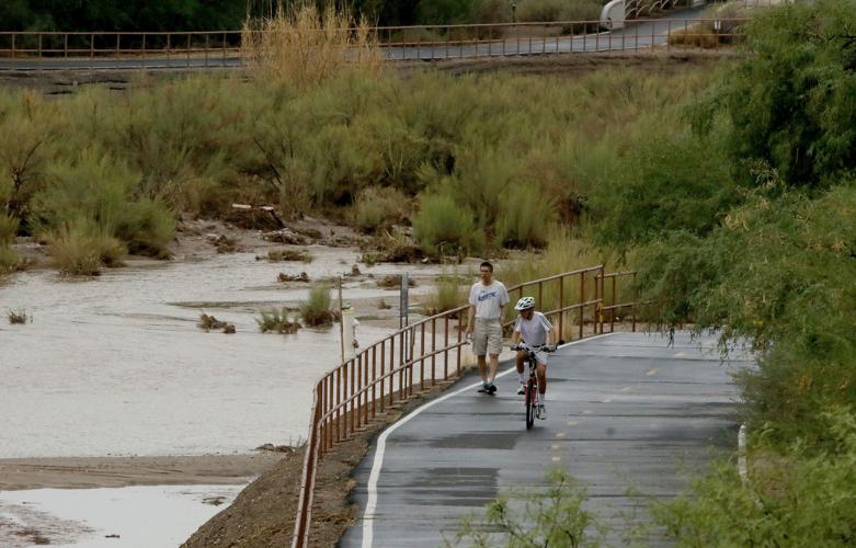
Monday overnight into Tuesday morning, rainfall measurements included roughly 1.8 inches in the East Skyline Drive and North Swan Road area; 1.1 inches in the East Ina Road and North First Avenue area; 1.2 inches at East Golf Links and South Craycroft roads; and 1.14 inches in Oro Valley near West Calle Concordia and North La Cañada Drive, according to the weather service.
Tucson International Airport received 0.10 of an inch Monday and .59 of an inch Tuesday for the city’s official amounts in the record books. Tuesday’s rainfall stopped by about 8 a.m. Wind gusts during the overnight storm reached 37 mph at the airport.
On Wednesday, July 12, the high is expected to be 98 and the low 76, and on Thursday the high is predicted to hit 99 and the low 77.

