


One of Tucson’s longest infrastructure projects for bicyclists and pedestrians is closer to construction but not without some added changes transportation officials want users to know about.
There’s 6.2 miles of Treat Avenue headed for construction in early 2021 to bring a bike High-Intensity Activated Crosswalk at Prince Road, Glenn Road, Speedway Boulevard, and Sixth Street; traffic-calming features to slow vehicle speeds; as well as pavement and landscaping improvements to enhance the walking and biking environment. The project will ultimately connect Aviation Bikeway to the Rillito River.
It’ll span through city council wards 3, 5, and 6, connecting to five parks and six schools when completed. The Tucson Department of Transportation and Mobility expects costs to exceed more than $1.4 million as a part of Proposition 407, called “Tucson Delivers Parks and Connections” passed by voters in 2018. It will be a part of 31 total bicycle boulevards to be built by 2028.
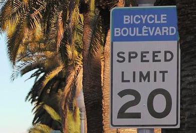
Transportation officials said the bicycle boulevards provide a low-stress biking network by creating calmer residential streets as alternatives to major thoroughfares. The department plans to complete over 100 miles of the boulevards to better connect Tucsonans to schools, parks, libraries, stores and other destinations.
The Treat Avenue project will come with some changes the department presented earlier in the design process.
Ryan Fagan, one of the department’s project managers, said during a town hall event last week that crews will add a Bike HAWK at the Treat Avenue and Grant Road Intersection, which is currently constructed as a pedestrian crossing. The system will be more bike friendly for riders.
The features included in the bike HAWK crossing are a marked waiting area for bicyclists with flexible posts cordoning it off from traffic.
The Downtown Links Project in Tucson will be a 4-lane road that parallels the Union Pacific Railroad and connects Barraza-Aviation Parkway at Broadway Road to Interstate 10 via St. Mary's Road. The expected completion date is early 2023. Video by: Mamta Popat / Arizona Daily Star (2020)
“Initially, we were going to hold off on that until the Grant road, RTA (Regional Transportation Authority) corridor project comes through and widens Grant Road in a few years,” Fagan said. “So, rather than leaving a gap in this corridor at Grant Road, we decided to include this even though it is somewhat temporary improvements given that Grant Road is going to be reconstructed in the future.”
However, crews won’t be adding continuous sidewalks connecting throughout the project. Instead, they’ll focus on Treat Avenue between Speedway Boulevard to Helen Street and Sixth to Fifth streets.
“Unfortunately, the budget limitations of this project preclude us from really including a complete sidewalk network, but this should improve access to these crossings and should make it easier for them to use for people of all ages and abilities,” Fagan said.
Additionally, the planned traffic calming features will be changed along Treat between Elm Street through an area north of Grant. It will prevent the project from “creating hazards for properties surrounding them,” Fagan said, as the features wouldn’t allow storm water to flow properly.
Crews will at least add a traffic circle at Treat and Waverly and a speed hump at Treat and Lester Street in the affected area. There will also be landscape chicanes or curb extensions to calm traffic along the road.
Tucsonans should be able to take advantage of the new project by fall 2021.
Look back at Tucson streets:
Photos: A look back at Tucson-area streets
Broadway Road, Williams Addition, 1958
Recently paved and improved Broadway Road in Tucson looking east to Craycroft Road (just beyond the Union 76 gas station at left), where the Broadway pavement ended in 1958. At right, is the natural desert of the Williams Addition, an innovative 160-acre development with only 22 homes on large lots. Developer Lew McGinnis bought all but two of the homes by 1980. It is now Williams Centre.
Interstate 10, 1960
Interstate 10 under construction at St Mary's Road in Tucson, ca. 1960.
Cherry Avenue, 1972

Arizona Stadium is off in the distance looking south along North Cherry Avenue on February 9, 1972. At the time the UA was proposing an addition to its football stadium adding another 10,600 seats to the east side of the structure that would involve permanently closing Cherry Avenue. It was also considering a 3,600-unit parking lot, all of which could cost around $11 million.
Speedway Blvd., 1950

Speedway Blvd. looking east from County Club Road, Tucson, in 1950. The controversial "hump" down the middle of the road separated opposing lanes of traffic. It was removed in 1957.
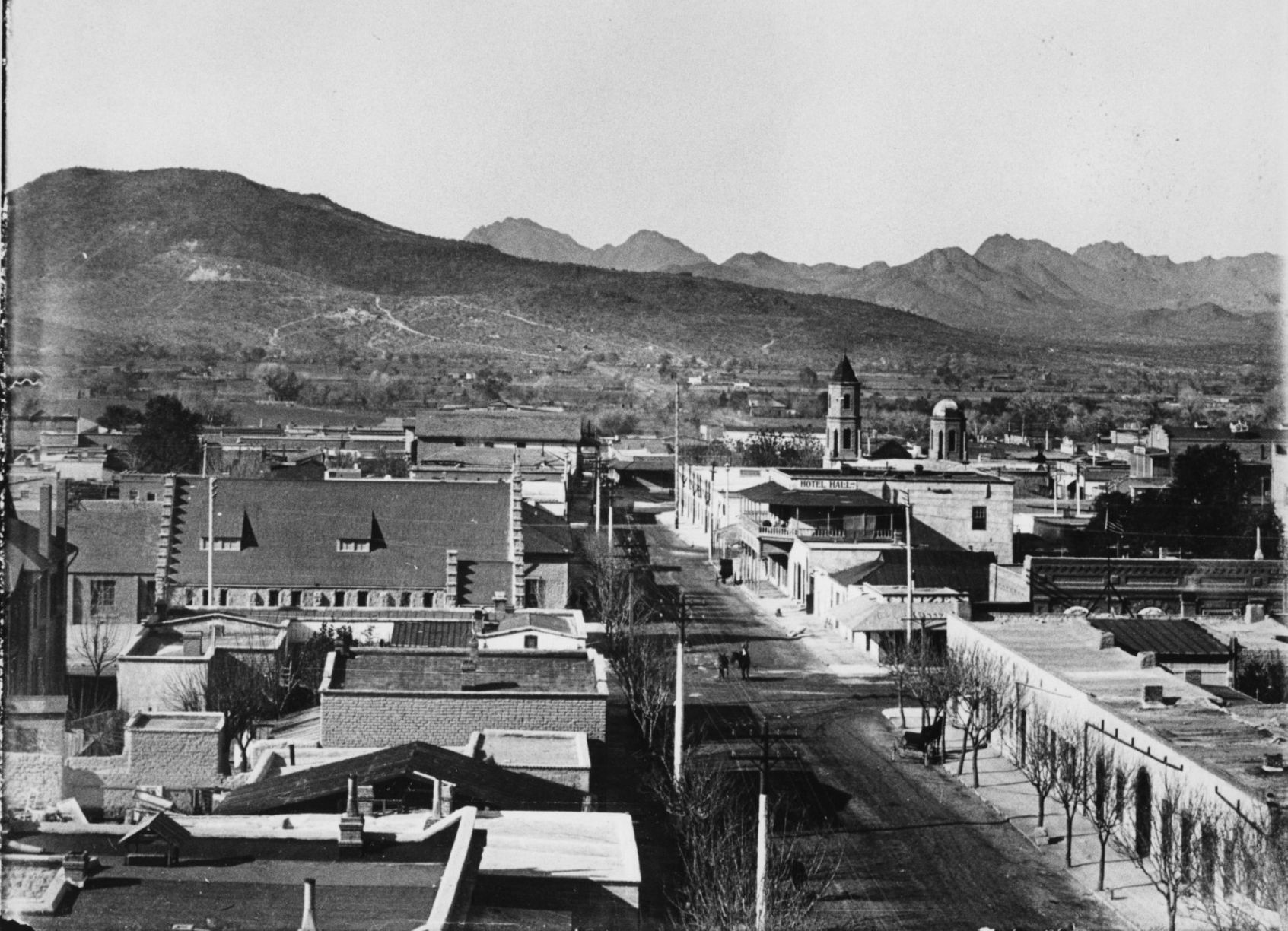
Court Street, 1900

Court Street in Tucson, c. 1900. City Hall is on the left (with flagpole) and San Augustin church is the peaked roof in distance at the end of the street. The building in the left foreground was used for the first mixed school taught by Miss Wakefield( later Mrs. Fish) and Miss Bolton.
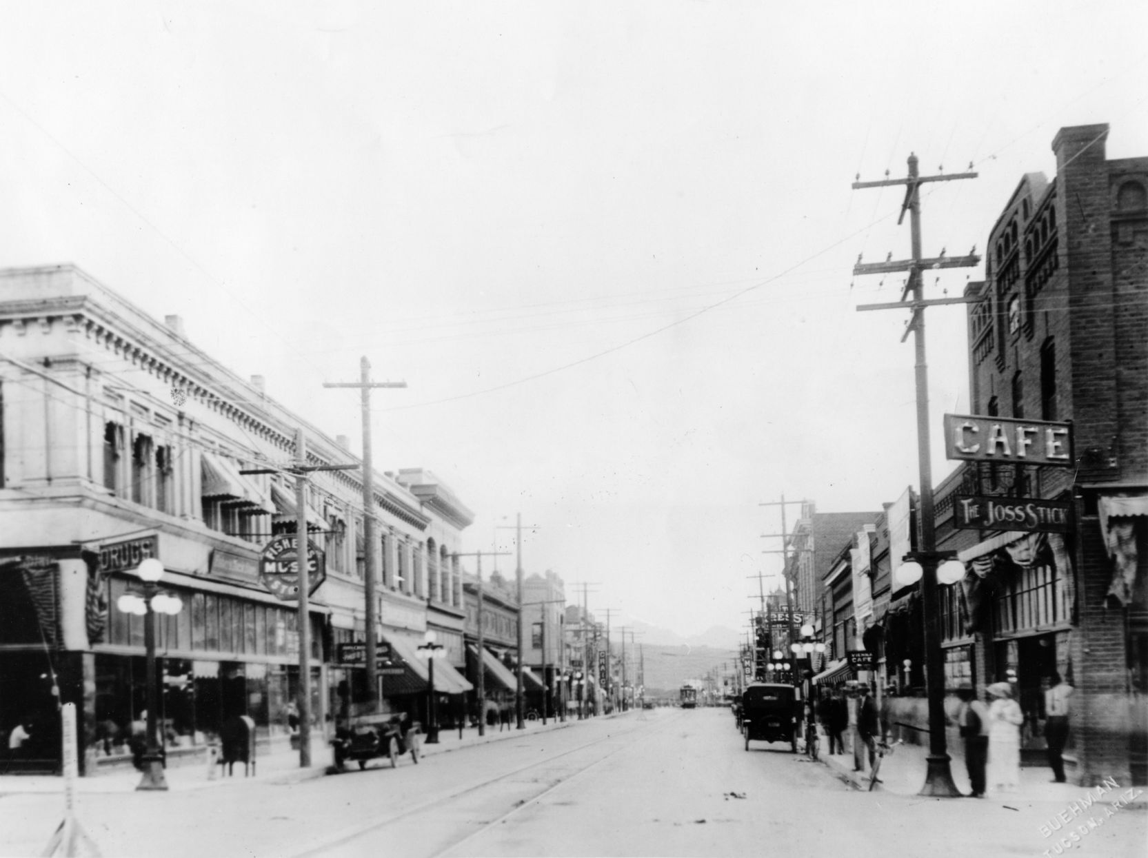
Congress Street, 1933
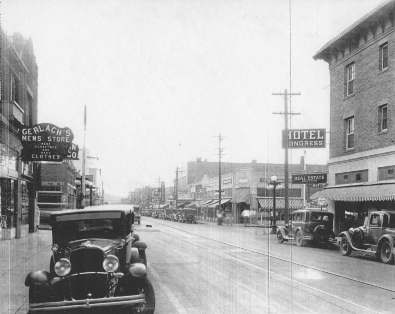
Congress Street, looking west from 4th Avenue, Tucson, ca. 1933. Hotel Congress is at left. Today, Caffe Luce and One North Fifth Lofts have replaced the shops just beyond the Hotel Congress sign on the corner of 5th Ave. and Congress.
Broadway Road, 1900s
Undated photo looking west on Broadway Road from the Santa Rita Hotel in Tucson. The cross street with man on horseback is Stone Ave. Photo likely from the early 1900s, since the Santa Rita was finished in 1904.
Congress St., 1920
Congress Street in Tucson, looking west from 6th Avenue in 1920.
Park Avenue, 1952
Definitely not a safe place to walk: Park Avenue at the Southern Pacific RR tracks in 1952, looking north into the Lost Barrio in Tucson. Park now crosses under the railroad tracks and links with Euclid Ave.
Electric street cars
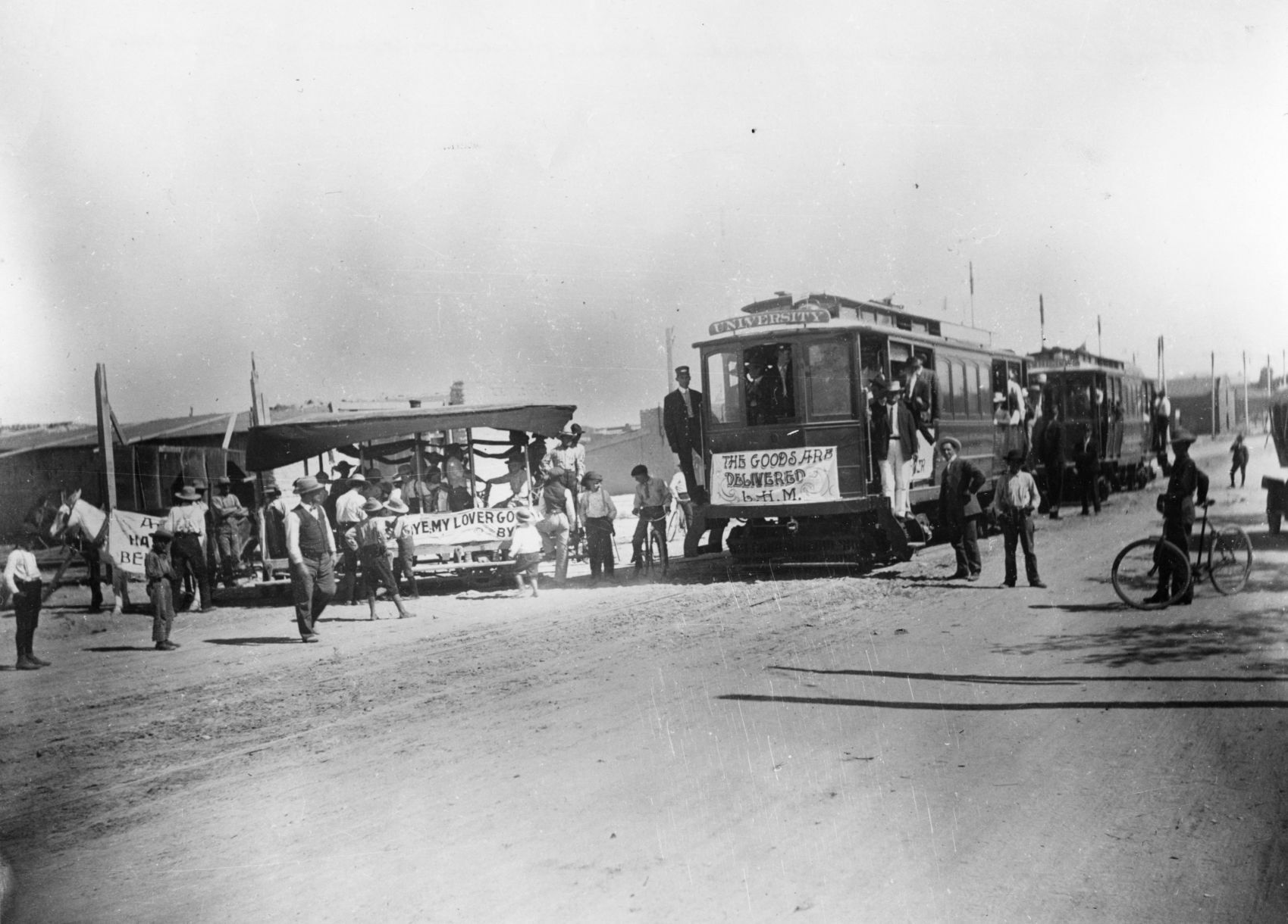
Electric street cars replaced horse-drawn street cars in Tucson, 1906.
Toole Ave., 1958
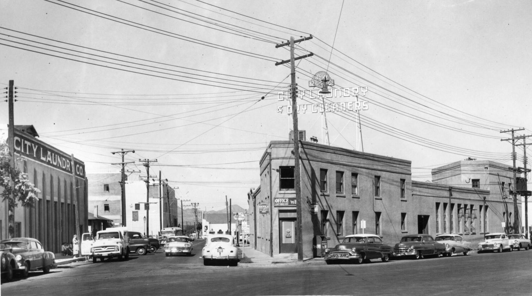
City Laundry Co. of Tucson occupied the historic building at right, at 79 E. Toole Ave., since 1915. Prior to 1915, it was a brewery. It was one the oldest buildings in downtown Tucson. The building at left fronting Council Street was built by City Laundry in 1928 and ultimately became the main plant. Both buildings were demolished in 1958 to make way for a parking lot.
Stone Ave., 1971
Updated
The lights of businesses on Stone Avenue in downtown Tucson, looking south from Ventura Street in July, 1971.
22nd Street, 1962

Traffic tie-ups like this one in June, 1962, happened several times a day on 22nd Street at the Southern Pacific Railroad tracks in Tucson. Most of the motorists in this picture had to wait 10 minutes for the two-train switching operation. An overpass solved the problem in 1965.
Benson Highway, 1972
This stretch of the Benson highway near South Palo Verde Road was bypassed after Interstate 10 was opened in 1969. It was just another string of businesses along the road that struggled to survive on August 14, 1972. The four-mile stretch was once a vital thoroughfare before the interstate system was created.
Church Ave, 1966

Greyhound bus depot, left, was located on the northwest corner of Broadway Boulevard and Church Avenue around February 1966.
Campbell Ave., 1960

Gridlocked traffic on Glenn Street, east of Campbell Avenue as thousands of people attended the opening of the new $2 million Campbell Plaza Shopping Center on April 7, 1960. Originally, the parking facilities was designed to handle 850 vehicles but it was overflowing for the event. The plaza is situated on 18 acres and has 18 tenants.
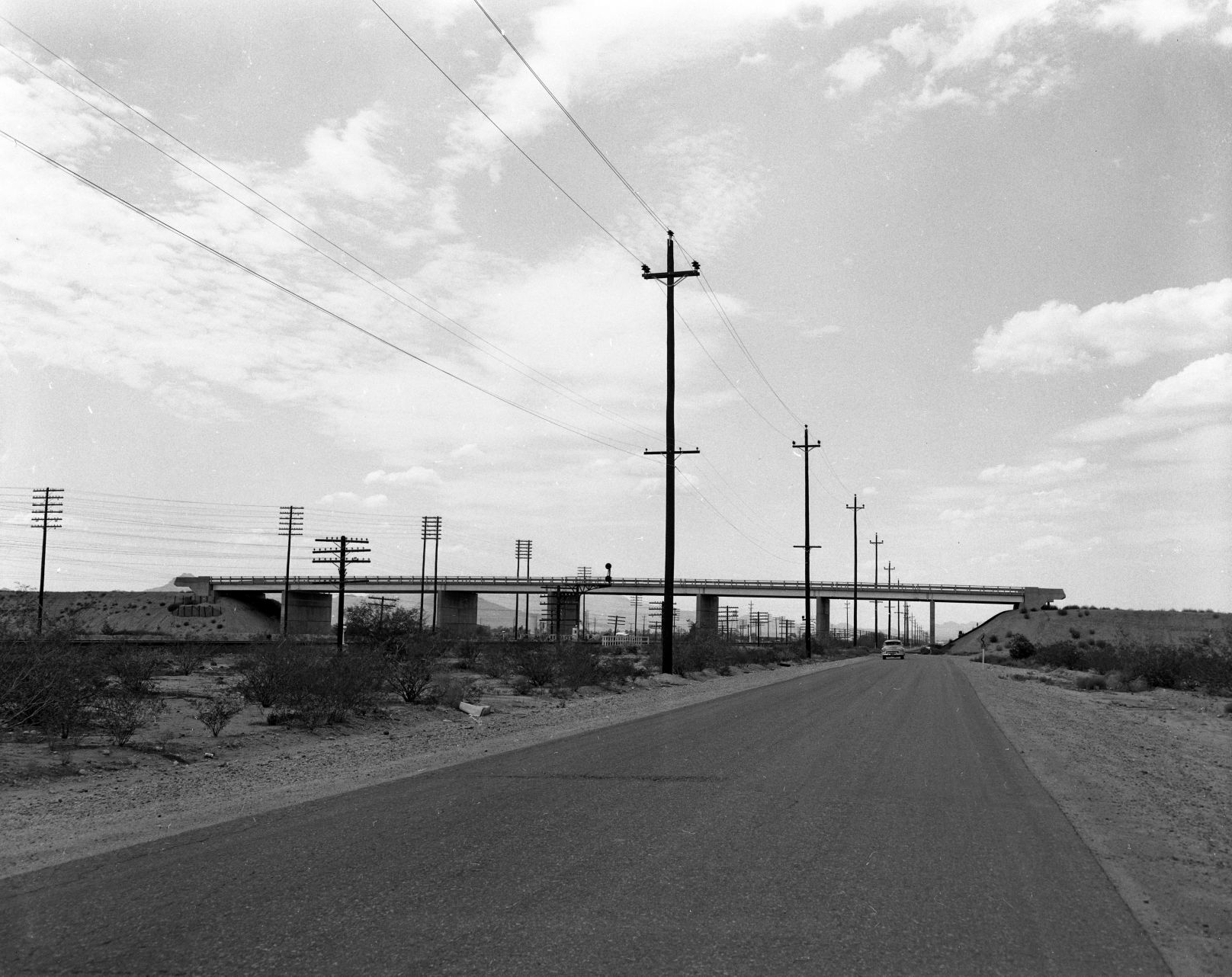
Interstate 19, 1964

Looking south on the Nogales Interstate Highway (now I-19) at the Ajo Way overpass on July 20, 1964.
Meyer Avenue, 1966

Street scene of South Meyer Avenue looking south from West Congress Street on June 26, 1966. All the buildings were demolished as part of the city's urban renewal project in the 1960s and 70s.
Cortaro Road, 1978

Cortaro General Store on the northwest corner of Cortaro Road and I-10 in December, 1978.
Congress St., 1967

A man crosses East Congress Street at Arizona Avenue as this portion up to Fifth Avenue was falling on hard times with only one small shop still in business on May 3, 1967.
Stone Avenue, 1955
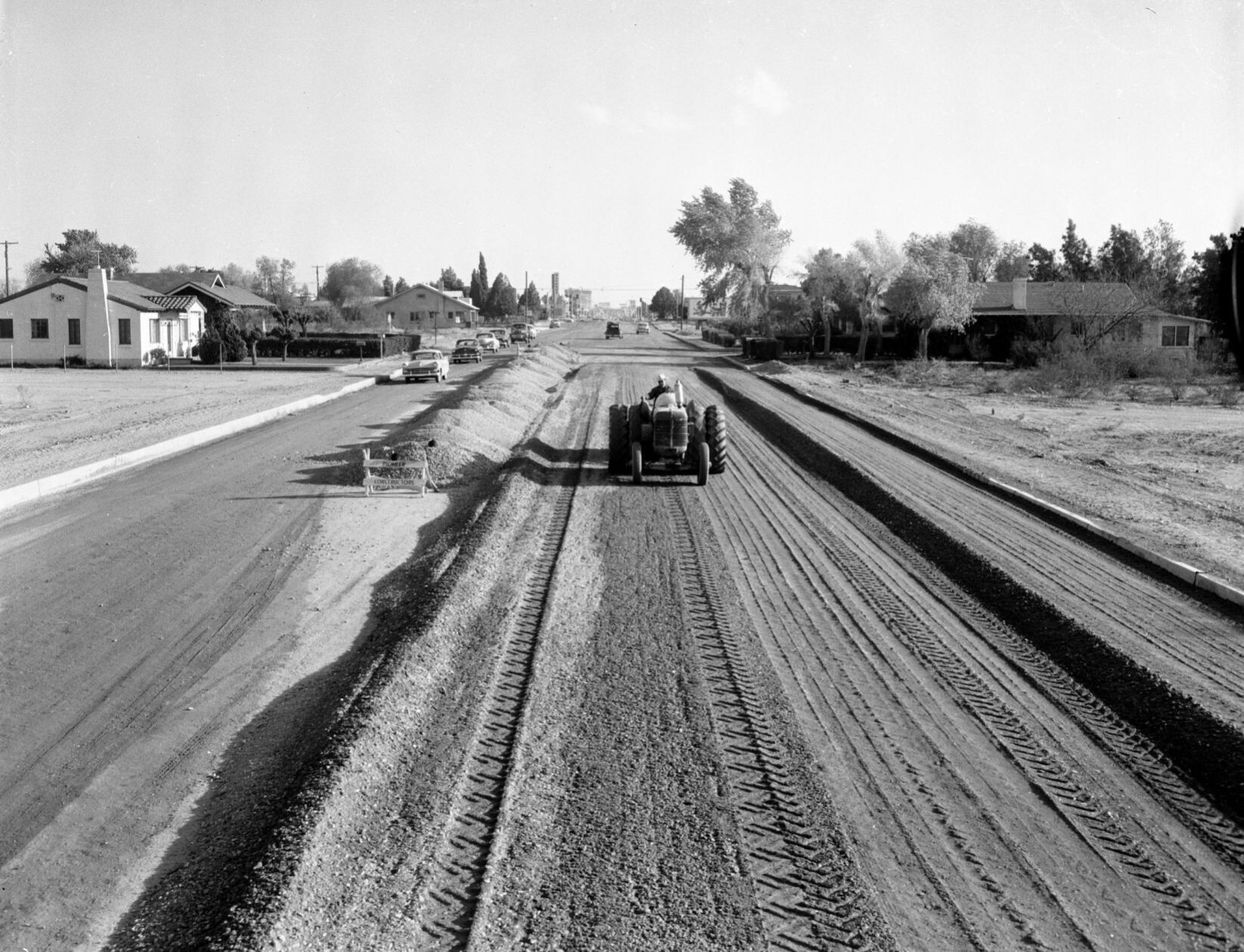
The Stone Avenue widening project between Drachman and Lester streets in April, 1955. A Pioneer Constructors pneumatic roller is used to compact the gravel base for an 80-foot roadway. The four-block project cost $37,500.
US 84A in Tucson, 1954

Westbound SR84A (now I-10) at Congress Street in 1954. In 1948, the Arizona State Highway Department approved the Tucson Controlled Access Highway, a bypass around downtown Tucson. It was named State Route 84A, and connected Benson Highway (US 80) with the Casa Grande Highway (US 84). By 1961, it was reconstructed as Interstate 10.
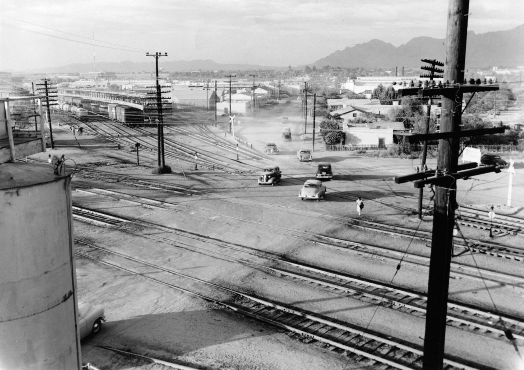
Grant Road, 1962
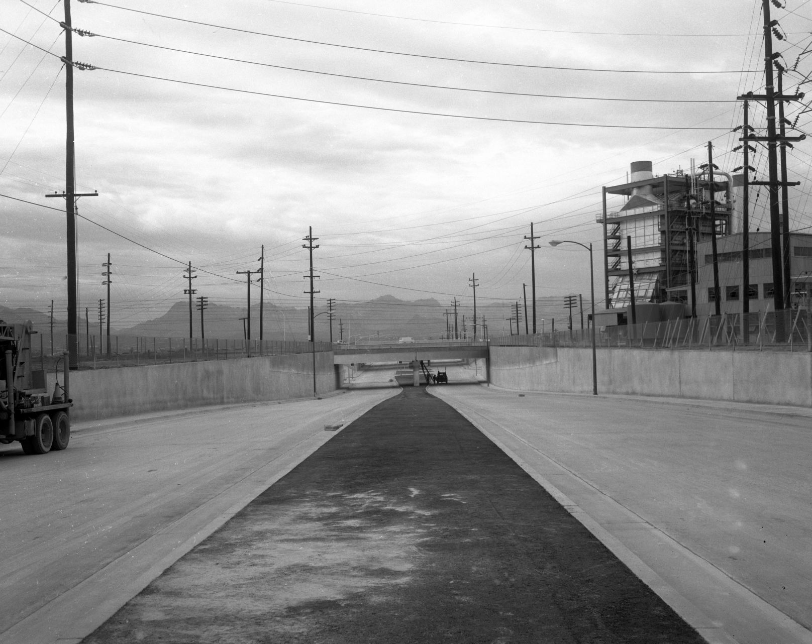
The new Grant Road underpass at the Southern Pacific RR in December, 1962, as seen looking west on Grant Road east of the tracks and Interstate 10. The Tucson Gas and Electric generating station (no longer there) is at right.
Grant Road, 1966

Grant Road, looking west at Campbell Ave. in 1966.
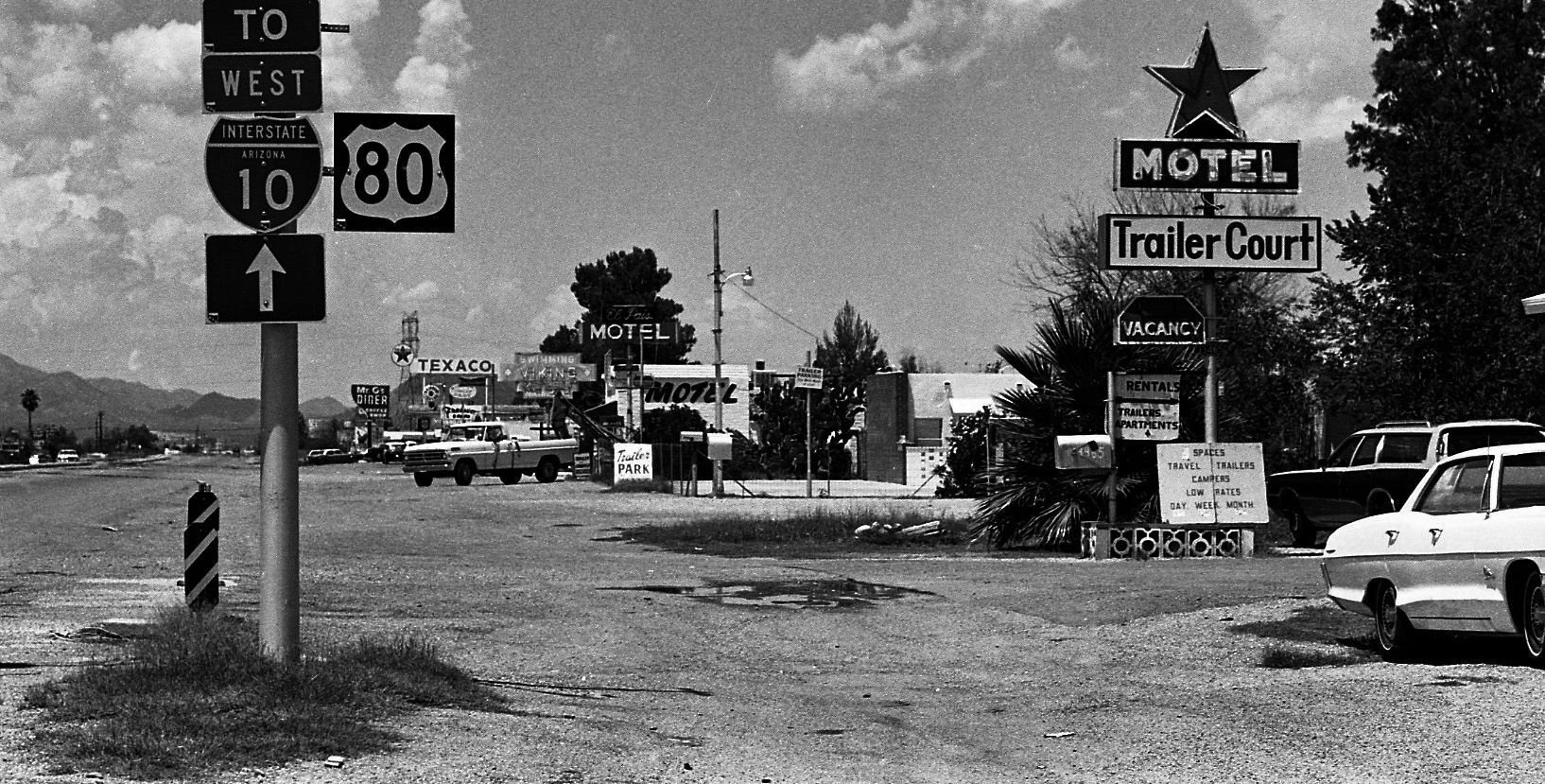
Old Nogales Highway, 1966
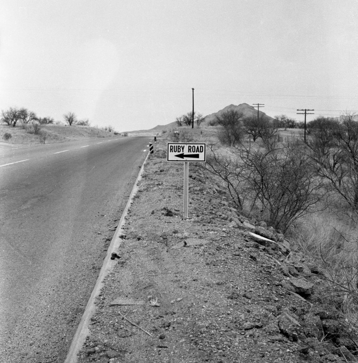
Old Nogales Highway near Ruby Road in July, 1956.
Oracle Road, 1925

This is a 1925 photo of the All Auto Camp on 2650 N Oracle Rd at Jacinto which featured casitas with the names of a state on the buildings. T
Oracle Road, 1950

This is a 1950 photo of the North Oracle Road bridge where it originally crossed over the Rillito River, west of the current bridge.
Oracle Road, 1979

Area in 1979 along North Oracle Road near the entrance of the Oracle Road Self Storage at 4700 N Oracle Rd near the Rillito River which would now be north of the Tucson Mall. There is no apparent record of the Superior Automatic and Self Service Car Wash.
Oracle Road, 1975

Oracle Road, looking south from Suffolk Drive, in March, 1975. Then, it was a four-lane state highway on Pima County land. It was annexed by Oro Valley more than 30 years later.
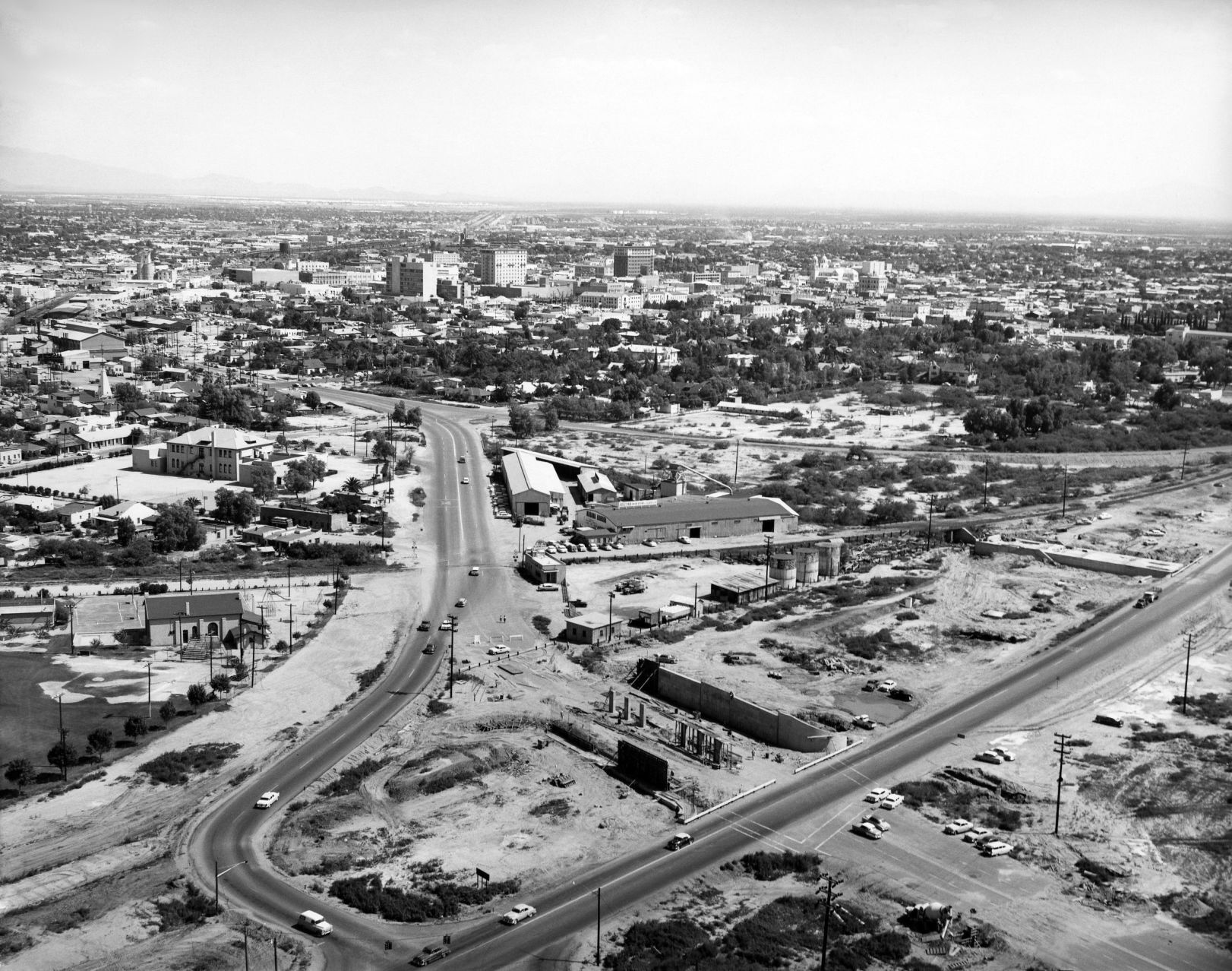
36th St., 1956
The Palo Verde Overpass south of Tucson (Southern Pacific RR tracks), looking East on 36th Street, in 1956.
Interstate 10, 1966
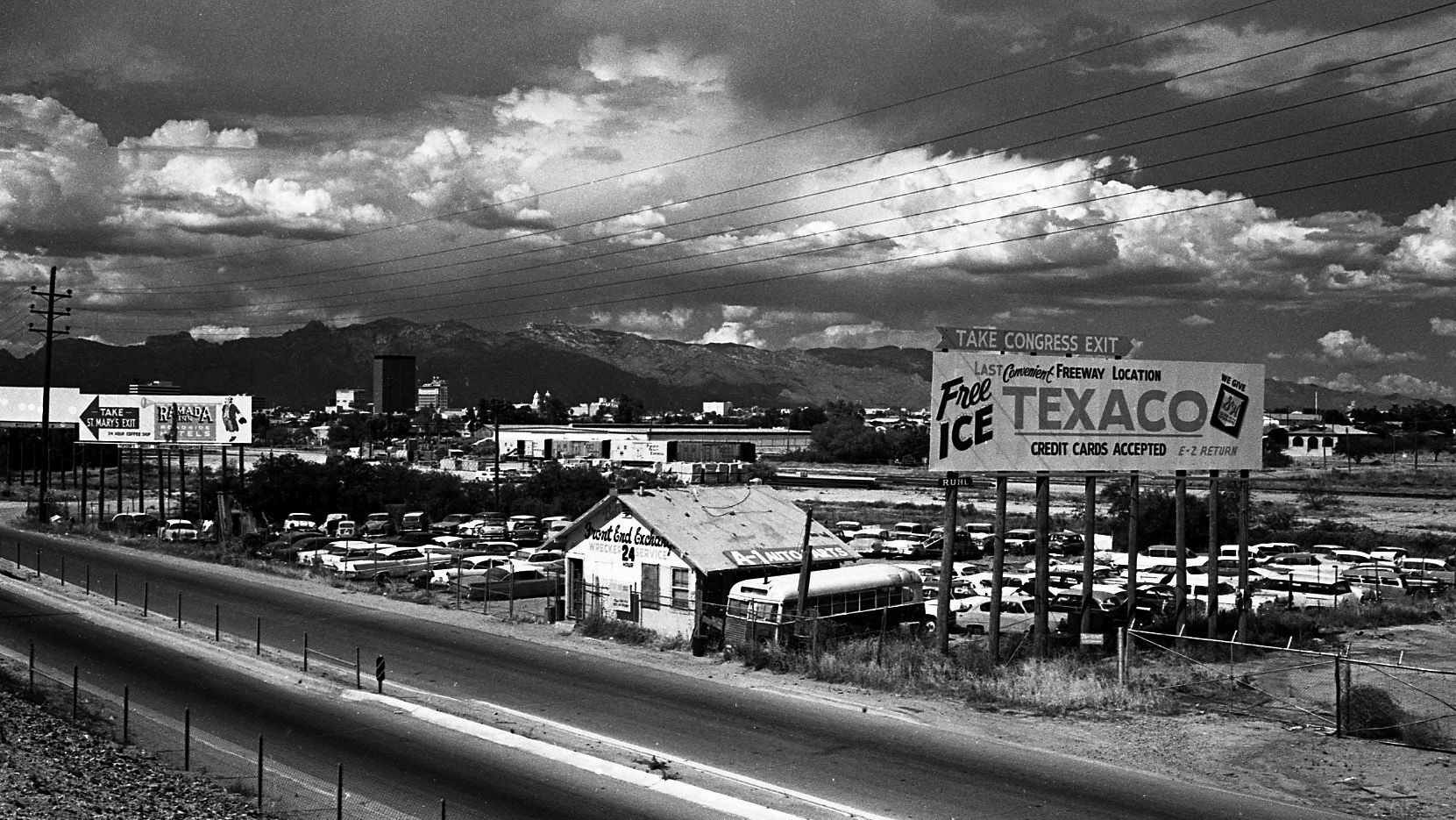
Large billboards used to line the area along Interstate 10 (South Freeway) between West 22nd and West Congress Streets on May 5, 1966.
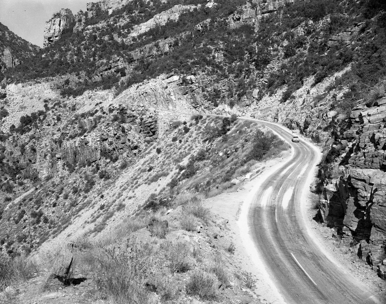
Catalina Highway, 1967

Snow clogs the Catalina Highway to Mt. Lemmon at 5,400 feet elevation on Feb. 18, 1967. Rock slides up ahead kept motorists from going further.
Speedway Blvd., 1968

The new Gil's Chevron Service Station at 203 E Speedway on the northeast corner at North Sixth Avenue was open for business in March 1968. The photo is looking toward the southeast.
Catalina Highway, 1955
The Mt. Lemmon Highway on May 18, 1955.
Tanque Verde Road, 1950s

In this undated photo taken in the late 1950s, the Tanque Verde Bridge over the Pantano Wash was allowing traffic to make its way toward the northeast side of town.
Craycroft and I-10, 1966

The TTT Truck Terminal at Craycroft Road and Benson Highway in Tucson in June, 1966. It's a mile east of the original, built in 1954.
Congress St., 1980

Congress Street in Tucson, looking east from the Chase Bank building at Stone Ave. in August, 1980.
Silverbell Road, 1975

Silverbell Road and Scenic Drive in Marana, looking south-southwest in 1975.
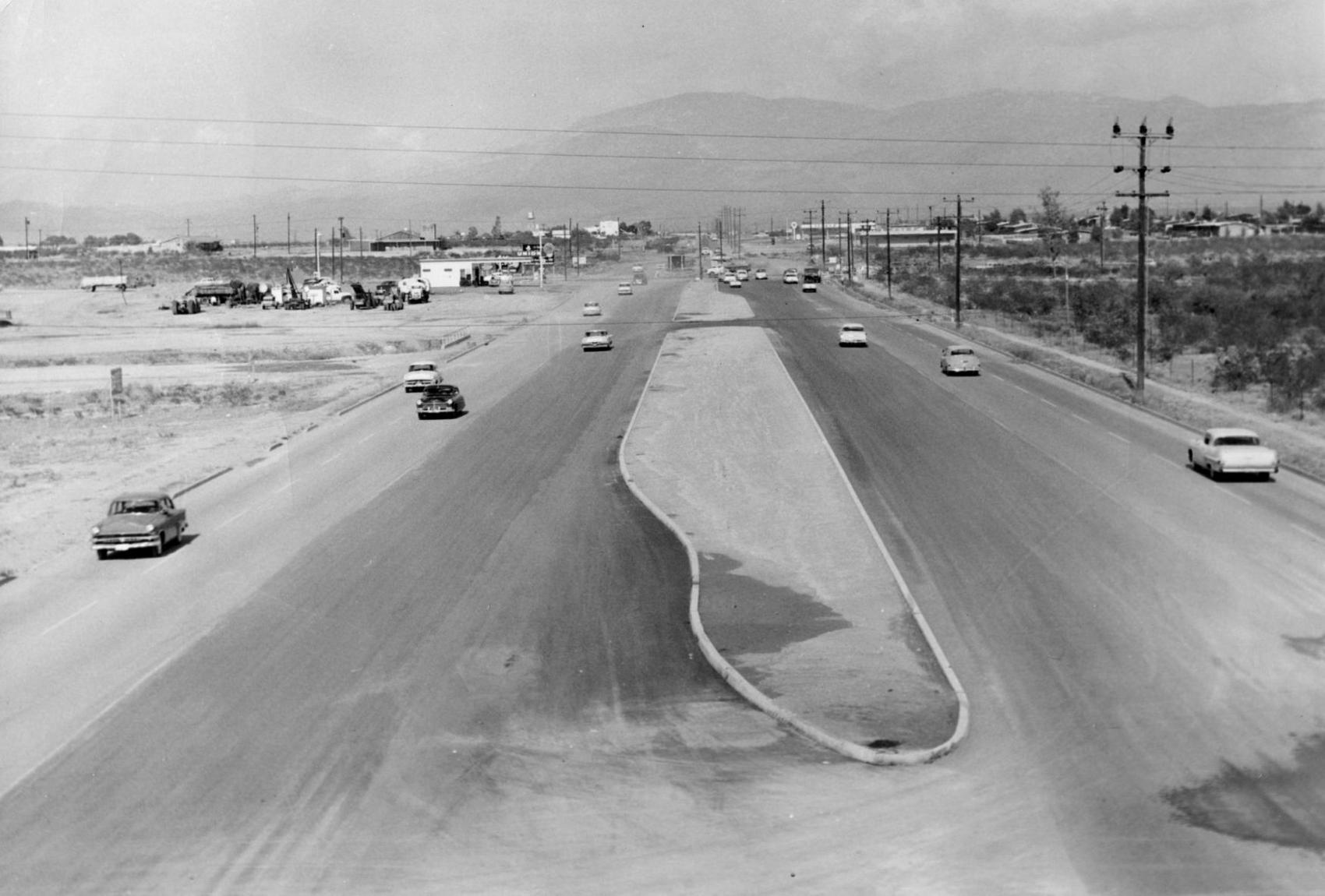
Interstate 10, 1962

Interstate 10 (referred to as the "Tucson freeway" in newspapers at the time) under construction at Speedway Blvd. in the early 1960s. By Summer 1962, completed freeway sections allowed travelers to go from Prince Road to 6th Ave. The non-stop trip to Phoenix as still a few years away.
Alvernon Way, 1982

This is a July 2, 1982 photo of flooding along a Tucson street. Might be North Alvernon Way near Glenn Street.
6th Ave, 1960s

The Tucson Fire Department's Station No. 1 was once on the 100 block of South Sixth Avenue, across the street from the Pueblo Hotel and Apartments in the late 1960s. The fire station had been on the site from as early as 1909 and was next door to the Tucson Stables, which had a livery and sold feed for horses. The historic Santa Rita Hotel rises up behind the fire station. The entire block is now the Tucson Electric Power headquarters.
Ruthrauff Road, 1975

Shown in 1975, owboys drive 250 cattle down a frontage road near Ruthrauff Road in Tucson toward the finish line of "The Last Cattle Drive," a 350-mile journey that began in Willcox. The drive ended at the Nelson Livestock Aucions yard, 455 N. Highway Drive. The cattle was sold with proceeds going to the Muscular Dystrophy Assosciation.
Main Ave., 1969
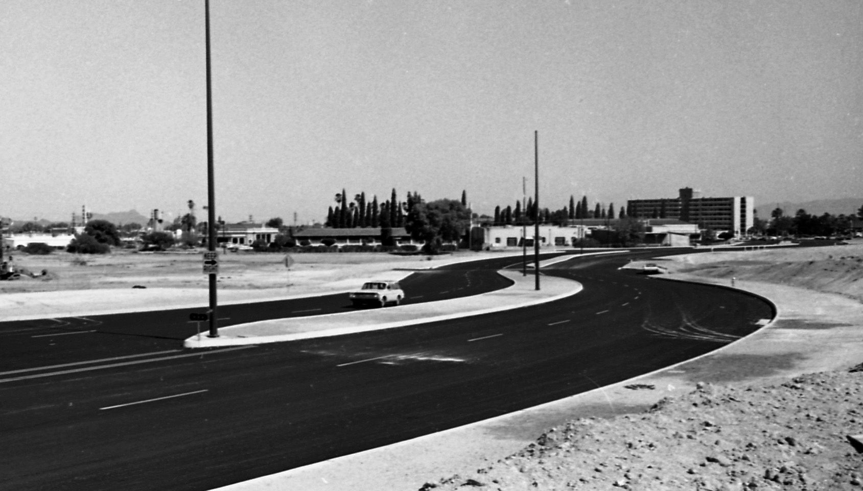
The newly aligned South Main Ave swerved its way along a barren stretch of landscape on May 9, 1969. Note the Redondo Towers in the background.
Congress St., 1970

Traffic along West Congress Street near the Santa Cruz River moves along on July 24, 1970. City authorities had decided to replace the bridge starting in the fall.

