

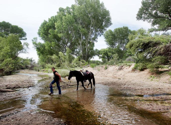
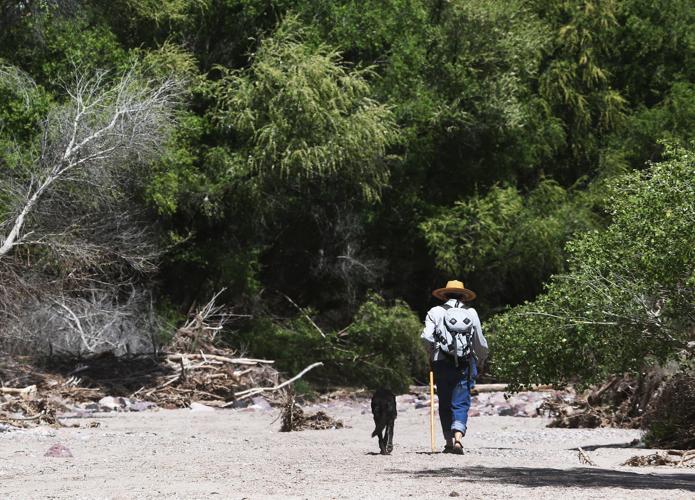

More than 100 “citizen scientist” volunteers, using GPS technology and cameras, plan to fan out along the 170-mile-long San Pedro River east of Tucson to map where the river has surface water and where it is dry.
The mapping project, coordinated by The Nature Conservancy and several government agencies, will be conducted from 6 a.m. to noon on Saturday, June 17.
This will be the 18th year of mapping the river.
“Data collected helps determine where to focus conservation projects because it provides a snapshot of conditions along the entire river at the same date each year, allowing comparisons of year-to-year variability,” said Tana Kappel, spokeswoman for the Conservancy.
She said plans call for mapping every mile of the river along its 170-mile course from its headwater streams in Mexico to its confluence with the Gila River near Winkelman.
How is it possible to map all those miles in only six hours?
“We have enough volunteers — more than 100 — that we can get them onto every stretch of the river,” Kappel said. “Many will cover about two miles of the river. Some will cover less than that, and some more.”
She said the volunteers include Nature Conservancy members and staff, landowners, conservationists and residents of Tucson, Benson, Cascabel and other communities.
“They will be using GPS units as they’re walking along the river,” Kappel said. “They will take GPS points to note where a section of surface water starts and where it ends.”
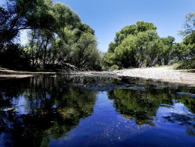
WET RIVER, DRY RIVER
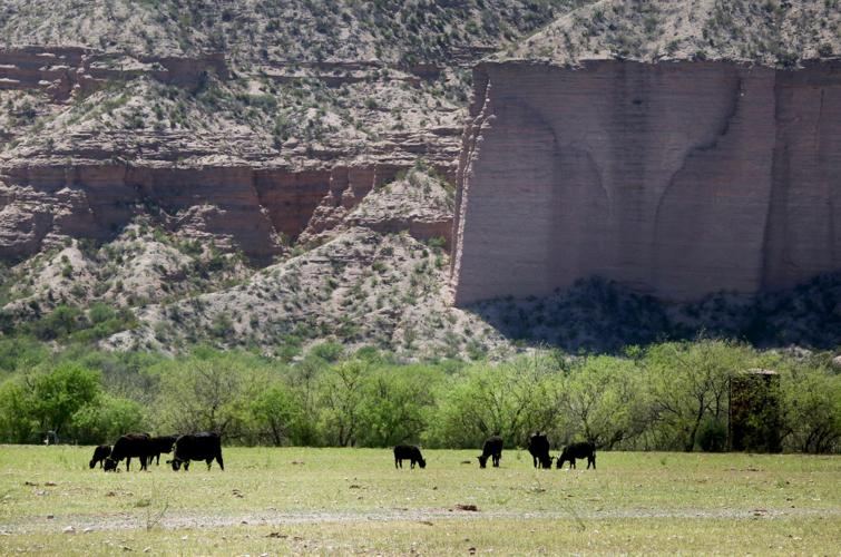
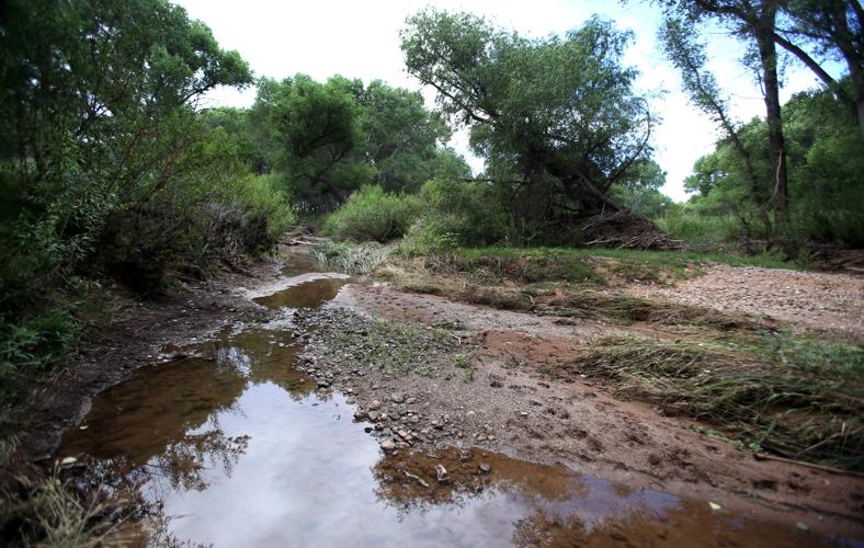
Some people might assume that a river either runs or it doesn’t. But many factors can impact an arid-country stream such as the San Pedro — resulting in some areas with surface water and some areas with no flow at all.
Weather, topography and other factors can contribute to the presence or absence of surface water.
“It has a lot to do with use of the river, Kappel said. “In areas where you don’t see water, there’s usually a lot of use, such as groundwater pumping.
“Where the river is running, it’s often because groundwater pumping has been minimized or because recharge efforts are underway,” she said.
Mapping of the river in 2016 found that 38 percent of the river had surface water.
That was down from 43 percent in 2015. “That year’s result was in large part due to heavier than normal rainfall during fall 2014 that persisted into 2015,” according to Nature Conservancy documents.
VALUE OF MAPPING
Partners in the annual mapping project say detailed information on the river’s wet and dry areas is a valuable tool in conservation planning.
June Lowery, a spokeswoman for one of the partners, the U.S. Bureau of Land Management, provided this information from an agency hydrologist:
“The wet-dry survey lets us know the extent of water in a stream at the driest part of the year. We do them with The Nature Conservancy and citizen science volunteers annually, typically in late June or July, just before monsoon season.
“All flow in the river at this time is either from bank storage or ground water. This data is useful to the Bureau of Land Management, The Nature Conservancy and the public as it tells us the extent of water in the river and informs us of any changes that can affect aquatic species.”
Other project partners include the National Park Service, Arizona Department of Forestry and Fire Management, Arizona Game and Fish Department, Community Watershed Alliance of Benson, volunteers from the community of Cascabel, and Mexican partners.
Kappel, of The Nature Conservancy, said the organization has used mapping information in planning work at its preserves such as one along Aravaipa Creek, a tributary of the San Pedro.
“We have purchased and protected lands, in some places stopping irrigation and water use,” after studying mapping data, she said. “We have also worked with mining companies on mitigation of their mining activity” near the river.

