


The latest images of Mars from NASA’s HiRISE camera, operated from the University of Arizona campus, continue to show a planet with familiar geology that is being reformed by very un-Earthlike processes.
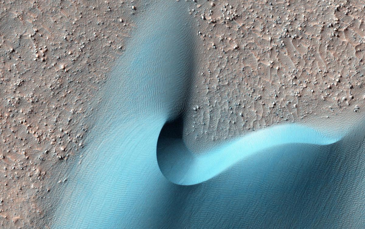
Scientists at the UA’s Lunar and Planetary Lab have identified large, eroded gullies that form without water and smaller, seasonally recurring gullies where water is definitely present in some form. The camera has captured dynamic scenes of blowing sand dunes and rockslides.
This month’s batch of more than 1,000 images is bigger than usual, courtesy of a higher download rate caused by Mars’ recent proximity to Earth, said Alfred Mc- Ewen, who helped build and manages the HiRISE camera, the largest camera ever sent into deep space.
It has been orbiting Mars aboard the Mars Reconnaissance Orbiter since 2006 and its images, combined with the spacecraft’s other scientific instruments, have answered a lot of questions about the red planet and raised many others that scientists continue to ponder.
The scientific picture of Mars captured by HiRISE, the High Resolution Imaging Science Experiment, continues to evolve, said McEwen.
Those large gullies were initially thought to have been caused by flowing water, but years of observation correlated their movement with the seasons, causing the HiRISE scientists to suggest several years ago that they are formed by the sublimation of frozen carbon-dioxide.
The smaller, dark lines on the planet’s surface (known as RSLs or recurring slope lineae) were first proposed to be evidence of a subsurface flow of briny water in 2011.
Last year, McEwen and former student Lujendra Ojha, who first identified the dark lines, used data from an imaging spectrometer aboard the Mars Reconnaissance Orbiter to reveal the presence of salts called perchlorates, which could keep water flowing at below-freezing temperatures.
A recent paper by LPL scientist Matt Chojnacki and McEwen focused on a region where the dark lines are prevalent and suggest a significant amount of near-surface water and an atmospheric component.
Some of the lines “start at the tops of ridges and isolated peaks and suggest a more atmospheric and distributed origin,” McEwen said.
“We don’t really understand these yet, and I don’t think it’s groundwater. There is a shift going on here, in my thinking, at least. If there is evidence for water playing some role, that doesn’t mean it is flow of water through the subsurface. It could be these are more like dry, granular flows, but water is involved in triggering this activity.”
“Whatever is going on on Mars looks Earthlike, but it doesn’t behave like Earth,” McEwen said.

