

Where’d our rain go?
The fast, furious start to the monsoon in June was followed by a long lull — 12 dry days so far with no relief in sight for Tucson until the weekend.
It’s normal for the monsoon pattern to withdraw and regroup, but not for a two-week period, said Dan Leins, science officer for the National Weather Service in Tucson.
“It’s a little more prolonged than you would typically see, but it’s not out of the ordinary to see breaks in the monsoon where the dew points dry out and it looks like a typical June day,” Leins said.
The culprit: weather patterns from as far away as the Pacific Northwest, where an enduring strong storm system is helping create a more westerly flow across the Desert Southwest.
Moisture starts seeping back in from the south today, but don’t expect rain in Tucson until the weekend, said Leins. “I can’t guarantee we’ll see rain on any given day. It will at least look and feel more typical.”
That means the humid tease of normal summer in Tucson — moister air, more clouds, better sunsets, slightly lower temperatures and the occasional cloudburst with wild wind and frightening lightning.
It should stick around for a bit as the southeasterly monsoon pattern re-establishes.
“There are no significant dry-outs in the cards once the weather gets back here,” said Leins.
Officially, we’re still on pace for decent monsoon rain totals, thanks to that one wet week between June 26 and July 1.
Totals are above average to date for Tucson (2.22 inches), Douglas (2.12 inches), Nogales (2.12 inches), Sierra Vista (1.99 inches) and Willcox (2.0 inches), according to the National Weather Service.
Half the state, meanwhile, is below average for the season and some areas have yet to receive a drop of rain, reports Mike Crimmins, University of Arizona extension climatologist, on his Twitter feed.
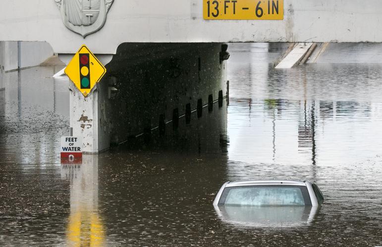
That can change quickly. Just ask the folks in north-central Tucson who were drenched with 2 inches of rain in less than half an hour on June 26.

