


High-resolution models are a tremendous tool in enabling meteorologists to produce more accurate lake-effect forecasts for timing, location and intensity. Combined with local knowledge and experience, as of late morning Friday model performance has been truly exceptional, so far.
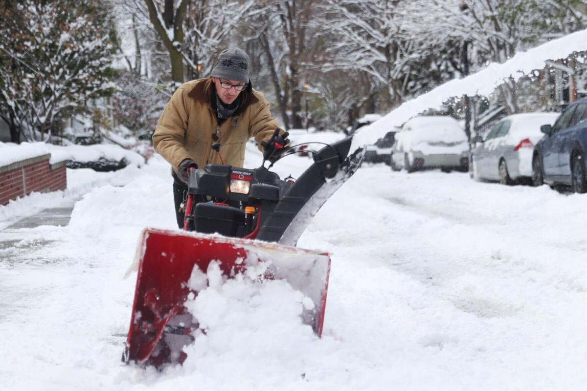
As of 9 AM, high resolution models continue to perform with great precision on the highest impact from this paralyzing lake snow band. Last evening’s initial northward surge was nailed by the previous night’s models. Travel within this band is near impossible. pic.twitter.com/pqyfwKxl84
— Don Paul (@donpaulbitsosun) November 18, 2022
Similar to past extreme lake-snow events, the “wall of snow” has made its appearance at the northern edge of the intense band.
Snow spotter reports from early Friday morning will be drastically eclipsed as the crippling lake-snow band continues to pound a portion of the region.
The predicted thundersnow developed on cue early Friday night and will continue frequently in the most intense part of the band. Thundersnow is associated with the heaviest rates of snowfall. In this case, snow sometimes in excess of 3 inches per hour can be expected. Winds will be picking up to 15-25 mph Friday afternoon and evening, with stronger gusts worsening already extremely low visibility down to near zero. (For an in-depth refresher on the forecasting of lake effect, my Buffalo News article should bring you up to speed).
During Friday afternoon, the band should stay over or near the morning location of the immediate Buffalo Southtowns and from South Buffalo out through Lancaster, with additional periods of thundersnow and near-impossible travel. Minor oscillations of a couple of miles north and south will occur, but the primary snow will stay south of downtown Buffalo and the Northtowns.
By late in the day, some of the heavier snow will reach southward into southern Erie and Wyoming counties.
By around 7 p.m., modeled snow totals will reach or exceed 2-3 feet with 3-4 feet in the most persistent snow, mostly south of Buffalo. There will be some compression of these totals because this is not a low-density, fluffy snow.
Much later tonight, winds will back from west-southwest more to south-southwest, sending the intense band back north through the city and into the Northtowns, reaching Amherst, the Tonawandas, Clarence and Akron. Some thundersnow may still be occurring, and winds of 15-30 plus mph will create near zero visibility. The shorter duration of the band in the Northtowns should hold accumulations to 3-6 inches.
These backed winds will push the band into Niagara County for a couple of hours by midday/early afternoon on Saturday. In this short time span, only about 2-4 inches will accumulate there.
Paul Haag of Richwood Drive in Hamburg compares this storm to November 2014.
Ahead of an Ontario low pressure system and its trailing cold front, wind shear will develop and the lake band will be disrupted, largely dissipating by mid- and late afternoon. Disorganized snow showers will redevelop well north late in the day. Just ahead of the cold front, a truly intense but fast-moving squall-like band of snow will move in from the northwest, with near zero visibility in falling and blowing snow late in the evening.
The saving grace to this squall will be its rapid motion to the southeast, not staying over any location long enough to cause additional huge accumulations. The prefrontal squall will blast through the Northtowns, city and Southtowns close to midnight, and break up into snow showers during the Sunday predawn hours.
Even with just snow showers, it would have been a miserable morning for tailgating, with occasionally blinding blowing snow, temps in the low to mid-20s and a wind chill of 7-14. On a west-northwest snow, snow showers will be streaking in from Lakes Huron, Ontario and Erie in the afternoon. While additional accumulations will be spotty and relatively minor, blowing snow will be a problem even when the sun breaks through, in the 20-30 mph wind, with some gusts of 35-40. The Sunday afternoon high will be in the mid-upper 20s with a wind chill in the low to mid-teens.
I’ve seen a few wild-eyed storm totals on social media but, in general, the reality is wild-eyed itself. The greatest totals by predawn Sunday should be close to central Erie County, where the average will likely range from 2 feet near South Buffalo to 4 feet just to the south and southeast. Isolated 5-foot amounts are likely. Again, much lesser amounts will be found from downtown Buffalo to the north.
The wind should begin to diminish somewhat Sunday night, making cleanup operations easier.
On Monday, a strong southwest wind will usher in some warming at the surface and aloft. Under a partly sunny sky, snowpack will start to shrink, and there may be a few light wet snow or rain showers as temps reach the upper 30s. Peak gusts of 40-45 mph are likely in the pressure gradient.
Winds will lighten up on a partly sunny Tuesday, with a high around 40. The good news for the biggest travel day, Wednesday, is the national picture looks mainly very good for flying and driving, with the exception of the far Pacific Northwest. Major airline hubs should have no weather-related delays. Locally, we’ll have a partly sunny day with a high again near 40.
On Thanksgiving, models are in poor agreement of positioning an area of low pressure to our west or northwest, but locally we’ll be dry and breezy. Air travel should have few weather impacts.
Our high will again be near 40, but accompanied by more of a wind chill than on Wednesday.
Friday, there may be some rain or rain and snow showers, with poor model agreement on the low pressure system again. Our high will likely be in the upper 30s-40.
It’s simply too early to gauge precipitation chances for the big Sunday travel day home nationally or locally. Ensemble mean upper air pattern guidance suggests a fairly cold day in the eastern Great Lakes and Northeast, with a northwest wind possibly bringing in some lake snow showers here.
These same ensembles favor below-average temperatures most or all days out to two weeks. Average high is currently in the mid-40s.

