


Tucson’s recent run of withering 111-degree weather reminded many of us that we have an ace in the hole when it comes to coping with such record-breaking heat: the cool, pine-shaded, forests of the Catalina Mountains towering a vertical mile above the city.
A drive up the 25-mile Catalina Highway northeast of Tucson leads to several high-country trailheads — and a spur road to Mount Lemmon Ski Valley and beyond can take you near the 9,157-foot summit of the mountain range.
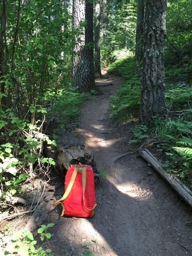
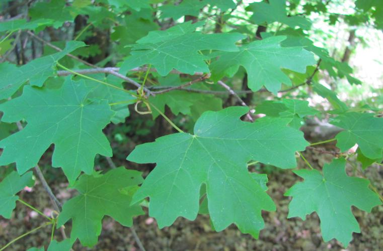
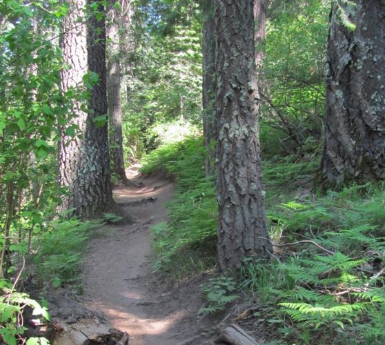
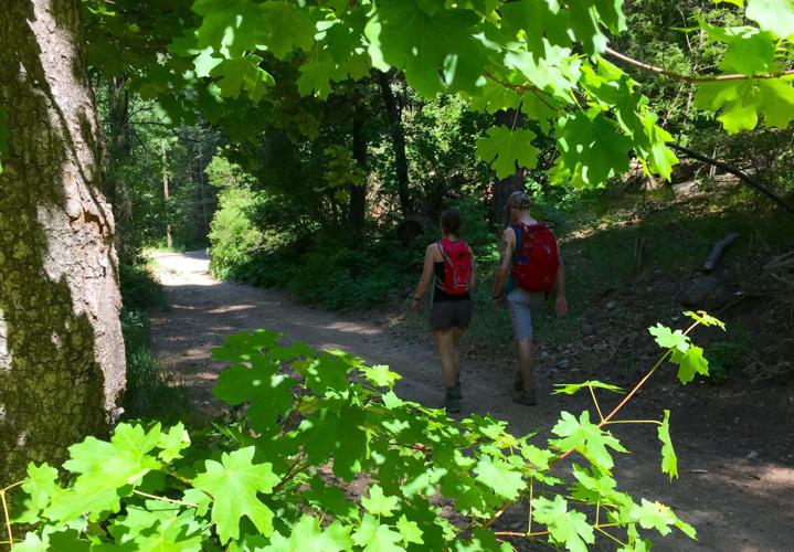
There, temperatures can be 20 or 25 degrees cooler than Tucson. Forests of pine, fir and maple trees provide shade, and expanses of emerald-green ferns and vibrant mountain wildflowers create an atmosphere that seems far from the prickly, white-hot desert world below.
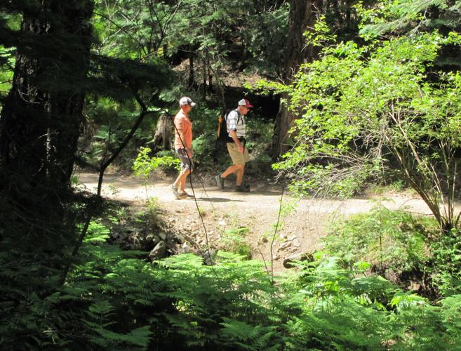
Energetic escapees from the heat might take a hike on a forest trail. Others might choose to simply relax in a mountain meadow or dine alfresco at a restaurant at Ski Valley or in the mountain village of Summerhaven.
TRAILS TO TRY
Here are some trails high in the Catalinas where hiking can be a pleasant experience even on a day when temperatures soar in Tucson:
- Meadow Trail
- — This short trail leads from a starting point near the top of the Catalinas into a verdant mountain meadow. To reach the starting point, drive past mile marker 24 on the Catalina Highway and turn up the signed road to Ski Valley. Once there, continue past the ski area parking lot on a road that continues uphill 1.7 miles to a parking area and trailhead. Walk about 0.2 of a mile to a trail junction and choose the Meadow Trail, which extends 0.8 of a mile to a junction with another trail.
- Butterfly Trail
- — The 5.7-mile trail connects two trailheads along the Catalina Highway and leads through lush forest terrain. One trailhead is past mile marker 19 on the highway and the other is between markers 22 and 23.
- Trail in Upper Sabino Canyon
- — This unsigned half-mile route follows an old roadbed through stream-side terrain at an elevation of about 8,000 feet. Follow the Catalina Highway 25 miles to Summerhaven and watch for Turkey Run Road on the right as you enter the village. Follow Turkey Run Road about 0.4 of a mile to the point where it is closed by a gate and begin walking up the canyon there.
- Aspen Draw Trail
- — Watch for the signed start of this 1.7-mile trail on the left as you near the end of the Upper Sabino Canyon walk. The trail leads uphill through forests of fir and aspen trees, ending near the top of a Ski Valley ski lift.

