

We’re surrounded. Don’t panic. It’s a good thing. Our daily Tucson lives play out in a broad valley surrounded by magnificent mountains, craggy canyons and beckoning passes.
Part of the pleasure of life in this high-rise landscape is just savoring the pleasing panorama — but there’s also something satisfying about knowing the names of the ranges, peaks, passes and canyons.
Today — in a mélange of words and images — we offer a short course in the topographic features that so fetchingly hem our horizons.
To the north
1) Santa Catalina Mountains
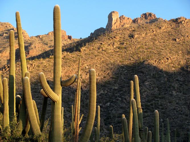
A tall wall of rugged ridges and shapely summits north of the city, the Catalinas are the most diverse and perhaps best-loved of the mountains around Tucson.
The range, towering more than a vertical mile above the city, nurtures vegetation ranging from tall cacti in lower reaches to fir and aspen trees near the top.
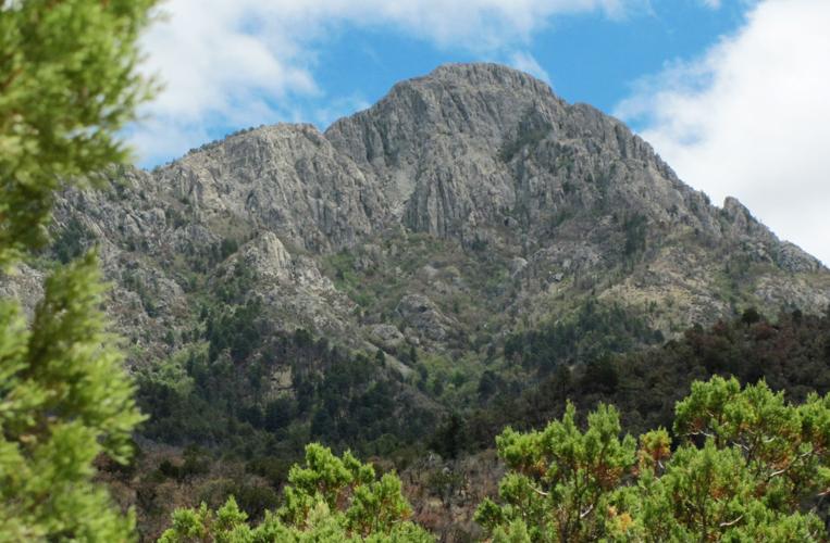
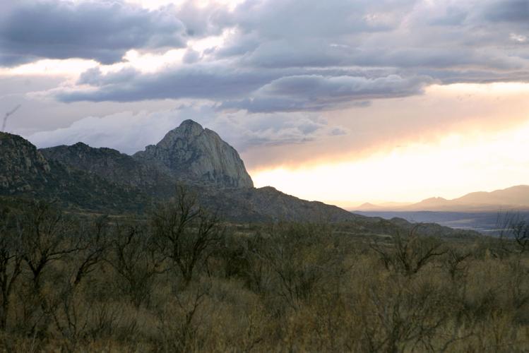
2) Finger Rock
No mystery about the name of Finger Rock — stabbing at the sky in the southwestern part of the Catalina range: It looks for all the world like a single extended digit.
Spot it in a rocky expanse roughly on an alignment north of Swan Road. The Finger Rock Canyon Trail, beginning at the north end of Alvernon Way, offers great views of the Finger. Getting to the top of the pointing formation calls for rock-climbing skills.
3) Mount Lemmon
The 9,157-foot summit of Mount Lemmon is the high point of the Catalinas. It’s a rounded, tree-topped mountain rather than a spiky prominence.
A drive up the Catalina Highway from the desert floor to “the Lemmon” can be compared, in terms of vegetation, to a trip from Mexico to Canada. The slopes of Mount Lemmon Ski Valley lie near the summit.
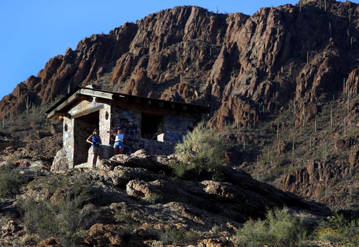
4) Sabino Canyon
A slice of scenic splendor in the hard-rock heart of the Catalinas northeast of Tucson, Sabino Canyon attracts about a million visitors every year.
Go there and you’ll see why. A flowing stream, sheer canyon walls, a rich mix of vegetation, a network of hiking trails and plentiful picnic sites make Sabino not only a natural landmark but a prime playground.
5) Tortolita Mountains
This comely little range west of the Catalinas is often overshadowed by higher, more massive mountains around Tucson — but it’s worth a look and a visit when you’re on the northwest side of the city.
Delve into the Tortolitas on the Wild Burro Trail and other routes leading away from the upscale Dove Mountain resorts at the foot of the range.
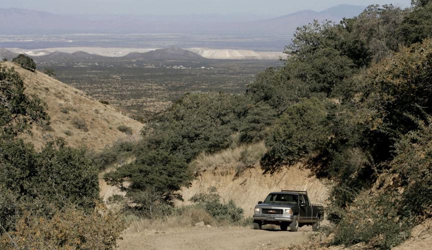
6) Redington Pass
Pavement covers all main routes out of the Tucson area except one: Redington Pass northeast of the city. If you want to head ’em off at this scenic pass, you’ll be driving on dirt.
Take Tanque Verde Road east. It turns into Redington Road.
To the east
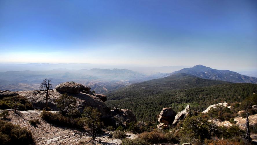
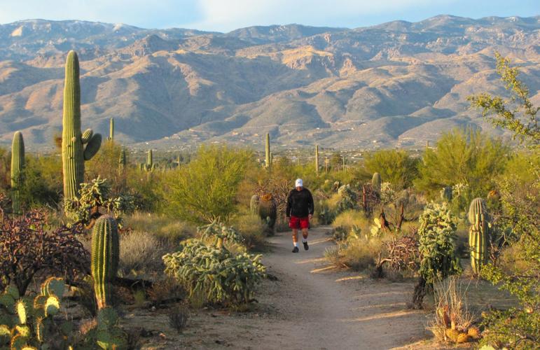
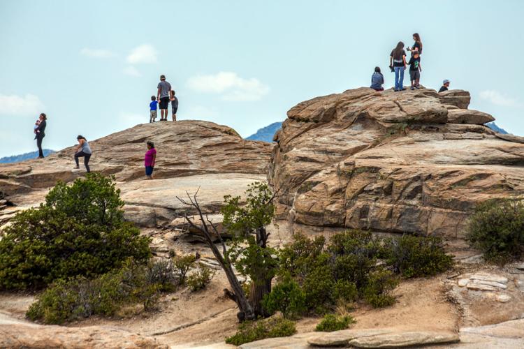
7) Rincon Mountains
Look east — and up — from almost anywhere in the Tucson Valley and you’re eyeing the high and still quite wild reaches of the Rincon Mountains.
Unlike the nearby Catalina range, the Rincons, rising to more than 8,000 feet, have no highways or high-mountain homesites. This is a slow-lane place — habitat for wild animals and hearty hikers.
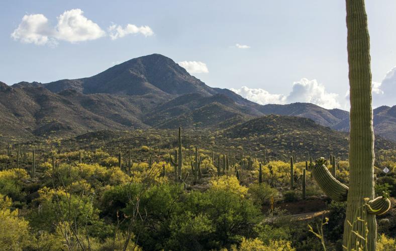
8) Rincon Peak
As you face the Rincon Mountains from Tucson, the dome-shaped summit on the right is 8,482-foot Rincon Peak.
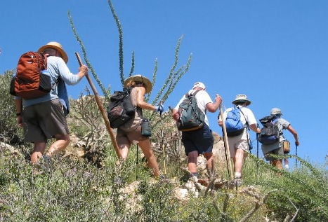
A trek to the top of the peak is one of the most challenging — and rewarding — hikes in the Tucson area. The 16-mile round-trip ramble is wonderfully scenic but steep — with an elevation gain of more than 4,000 feet.
9) Tanque Verde Ridge
When the light is right, the long spine of Tanque Verde Ridge is visible in the foreground of the Rincon range.
Excellent views of the ridge are available in Saguaro National Park East, and the Tanque Verde Ridge Trail begins at a trailhead near the park’s Cactus Forest Drive.
Hikers start in Sonoran Desert terrain and ascend into zones of oak and juniper forests as the trail follows the ridge.
To the south
10) Santa Rita Mountains
Commuters who travel south from the Catalina Foothills or elsewhere in Tucson will know the Santa Ritas by sight if not by name. They’re the shapely, high-rise mountains, often snow-capped in winter, towering south of the city.
One popular destination in the range is Madera Canyon — known for hiking trails, superb bird-watching, picnic sites, a campground and lodges.
11) Mount Wrightson
The prominent 9,453-foot summit of Mount Wrightson is the high point of the Santa Rita range and the highest of all the peaks surrounding Tucson.
Avid hikers love the 10.8-mile round-trip trek to the top not only for its trailside scenery and grand summit views — but also because its 4,000 feet of elevation gain provides a sort of über-StairMaster workout.
12) Elephant Head
A steep and rocky summit at the western end of the Santa Ritas, Elephant Head apparently was named for its resemblance to a pachyderm’s noggin from some viewpoints.
Those who climb to the top — a moderately challenging ascent even by the easiest route — find an unusual site. Climbers have created a sort of “elephant shrine” made up of plastic pachyderms.
13) Sierrita Mountains
An often overlooked range southwest of Tucson, the Sierritas rise to more than 6,000 feet and show up nicely in sunrise light and after a dusting of snow.
These mountains seem a distant sight from parts of Tucson. For a closer look, go to Robles Junction, also known as Three Points, southwest of Tucson. Continue southwest on Arizona 286 and get views of the Sierritas east of the road.
To the west
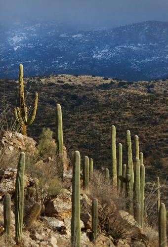
14) Tucson Mountains
Makers of Western movies long have loved the craggy, saguaro-spiked Tucson Mountains west of the city. They look like classic cowboy country — with steep slopes, deep-cut canyons and ballad-worthy sunsets.
But you don’t need John Wayne genes to fall in love with the Tucsons. Hikers, cyclists, photographers and wildlife watchers find bliss here, too.
15) Wasson Peak
The highest point in the Tucson Mountains — 4,687-foot Wasson Peak — is a pleasing sight from below. Trek to the summit for a stirring view across the Tucson Valley toward many of the other sites discussed here.
16) Gates Pass
Say the word “sunset” and many Tucsonans will instantly think of Gates Pass. The top, reachable via Gates Pass Road west of the city, is one of the best places anywhere to bid adios to the solar orb.
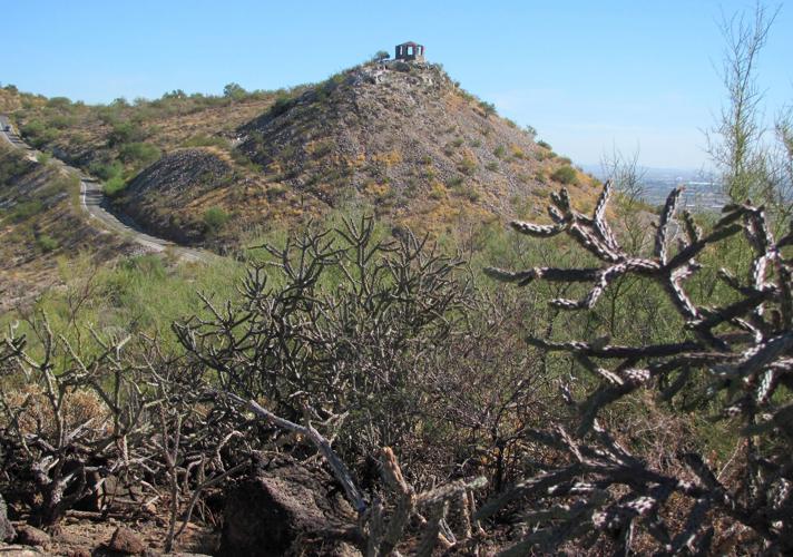
17) “A” Mountain
“A” Mountain, also known as Sentinel Peak, on the western edge of Tucson is a relative molehill in a region of much higher mountains. But it’s a great observation point for getting a good look at many of the other sites on this list.
A road to the top begins at the west end of Congress Street.
18) Windy Point
Windy Point, near milepost 14 on the Catalina Highway northeast of Tucson, offers a soaring hawk’s view of the Tucson area and surrounding mountains.
The 6,620-foot altitude also affords relief from summer heat.

