

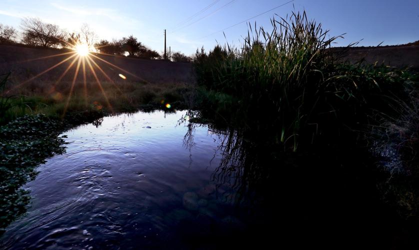

Just eight months after the highly celebrated return of water to a dry stretch of the Santa Cruz River through Tucson, the city has slashed the flows.
Tucson Water’s nearly 75% reduction in releases means the heavily treated wastewater — which was running downriver as far north as Speedway and just beyond — now stops abruptly just south of 22nd Street. (The Santa Cruz runs from south to north.)
The water only runs a few thousand feet now, compared to 2.5 miles before.
Officials hope the cutback will be temporary, lasting until midsummer at most, but say it’s necessary to keep the water from leaching contaminants out of a downtown-area landfill.
In one area south of downtown, the recharged effluent raised underground water levels by previously unheard of amounts of up to 45 feet in eight months.
Now, Tucson Water officials say they hope a combination of careful monitoring of water levels and an upcoming Pima County project to remove sediment from the river will let them resume higher releases in the future. They won’t know for sure until the sediment removal project finishes in midsummer.
“This is going to be a work in progress as we manage this project,” Tucson Water Deputy Director John Kmiec said. “We are still studying how the river will react.
“This is truly a science experiment we’re doing in the community.”
Concerns the water could undercut the landfill and numerous others nearby were raised in the past, but utility officials had said before they didn’t think that was likely.
Similar concerns have been raised about the potential for rising water levels to leach out contaminants from three businesses including gas stations and paint stores east of the river. Utility officials had also said those concerns weren’t warranted.
Recharging faster, deeper than expected
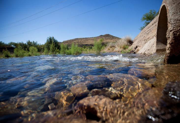
Late last June, the utility started releasing nearly 2,000 gallons per minute of effluent into the river from a pipe installed near West Silverlake Road, south of 22nd Street.
The purpose was twofold. One was to recharge the aquifer in a place where the water would be available for future pumping, if needed. Previously, that effluent had been recharged far downstream from where the city could easily access it.
The second purpose was to re-create riverfront riparian habitat that existed in the Santa Cruz before groundwater pumping dating to the 1930s and ’40s dried it up and killed off trees and other plants along the river.
But Tucson Water cut the releases back to 500 gallons per minute Feb. 24 after it became clear that in some places, the water releases were essentially doing too good a job.
The river water was “ponding” at a concrete grade control structure lying just north of 22nd Street, utility officials said. Instead of proceeding downstream, river water was staying in place and recharging the aquifer far faster and deeper than expected.
Since June, water levels rose about 45 feet in a monitoring well north of 22nd, and about 42 feet in a second monitoring well nearby. Six other monitoring wells show much smaller increases, from less than a foot to 20 feet.
“We were expecting them to be more uniform along the stretch,” Kmiec said of the water levels.
In one well, the water table had risen to 61 feet below ground, about 10 feet shy of the maximum elevation allowed by the Arizona Department of Water Resources to operate this project.
The limit exists to insure water in the aquifer doesn’t leach contaminants out of the old “A” Mountain landfill. It lies just west of the river, between 22nd and Cushing Streets. Its trash is buried no lower than 25 to 30 feet below ground, Kmiec said.
Last summer, Eric Holler, a retired Bureau of Reclamation official who has supervised other water recharge projects, said he was concerned that water going downriver could unearth contaminants from that landfill and nine others along the river between Speedway on the north and Ajo Way on the south, along with the old commercial sites east of the river.
Tucson Water Director Tim Thomure said at the time he didn’t expect that to happen because the water level in the river was unlikely to ever rise enough to affect landfills.
Flood control work may fix the problemLast week, James MacAdam, the utility’s conservation and public information superintendent, said, “It’s fair to say that we didn’t anticipate the aquifer would rise as fast as it has risen.
“It’s not fair to say we didn’t anticipate any issues related to landfills” or the contaminated sites lying east of the river, he said. “Those issues were considered at great length and at great detail in our state permits.
“We had to assure the state that we would monitor and manage aquifer levels to stay within those boundaries” of allowable water level rises, he said.
Utility officials say Pima County’s next round of sediment removal from the river should address the rising water levels. It’s slated to begin in early May and last about two months, pulling 85,000 cubic yards of sediment from Mission Lane, from near Cushing Street and south to 29th Street.
As part of that work, the County Regional Flood Control District will slope the river channel from the river’s edge toward its center, concentrating the river’s flows.
It will also create a small notch in the grade control structure north of 22nd, to allow river water to flow through more smoothly and reduce ponding upstream, said Eric Shepp, the flood control district’s deputy director.
Then, Tucson Water will start testing how much recharge the river can handle and release as much water as it can without causing problems, Kmiec said. For now, the utility is checking the groundwater levels under the river weekly to see if releases can be raised.
Tucson environmentalist Christina McVie said she’s pleased utility officials have figured out what caused the groundwater levels to rise and is hopeful they can fix the problem.
“I expected there would be kinks in this that we have to work through,” said McVie, long active in the Tucson Audubon Society and Coalition for Sonoran Desert Protection.
Holler, however, said he’s concerned that removing all the sediment might increase the rate at which river water percolates into the aquifer, worsening the problem of rising groundwater levels.
While that’s possible, utility officials aren’t concerned now “because we are monitoring water levels and managing the river flows accordingly,” Tucson Water’s MacAdam replied.
30+ historic photos of the Santa Cruz River through Tucson
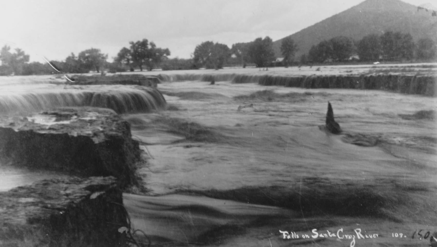
Waterfalls on the Santa Cruz River in 1889 near Sentinel Peak in Tucson.

Girls in Santa Cruz River,1889-1890.
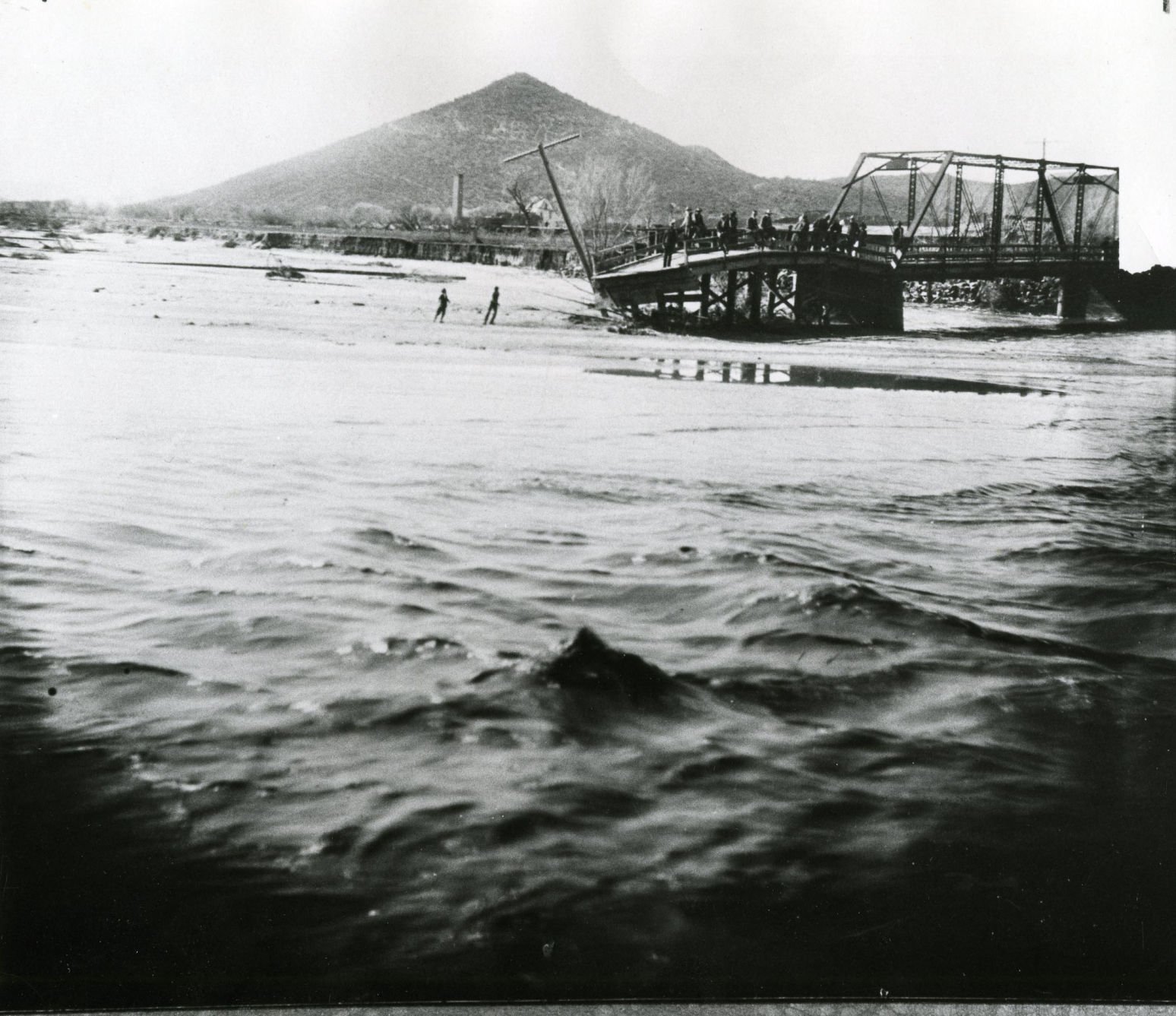
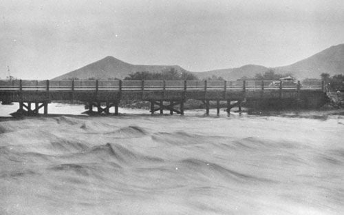
A bridge over the Santa Cruz River near Sentinel Peak in Tucson washed out during flooding in 1915.
Santa Cruz River at St. Mary's Road bridge in 1931.
The Santa Cruz River flows north as seen from Sentinel Peak in Tucson in the early 1900's.
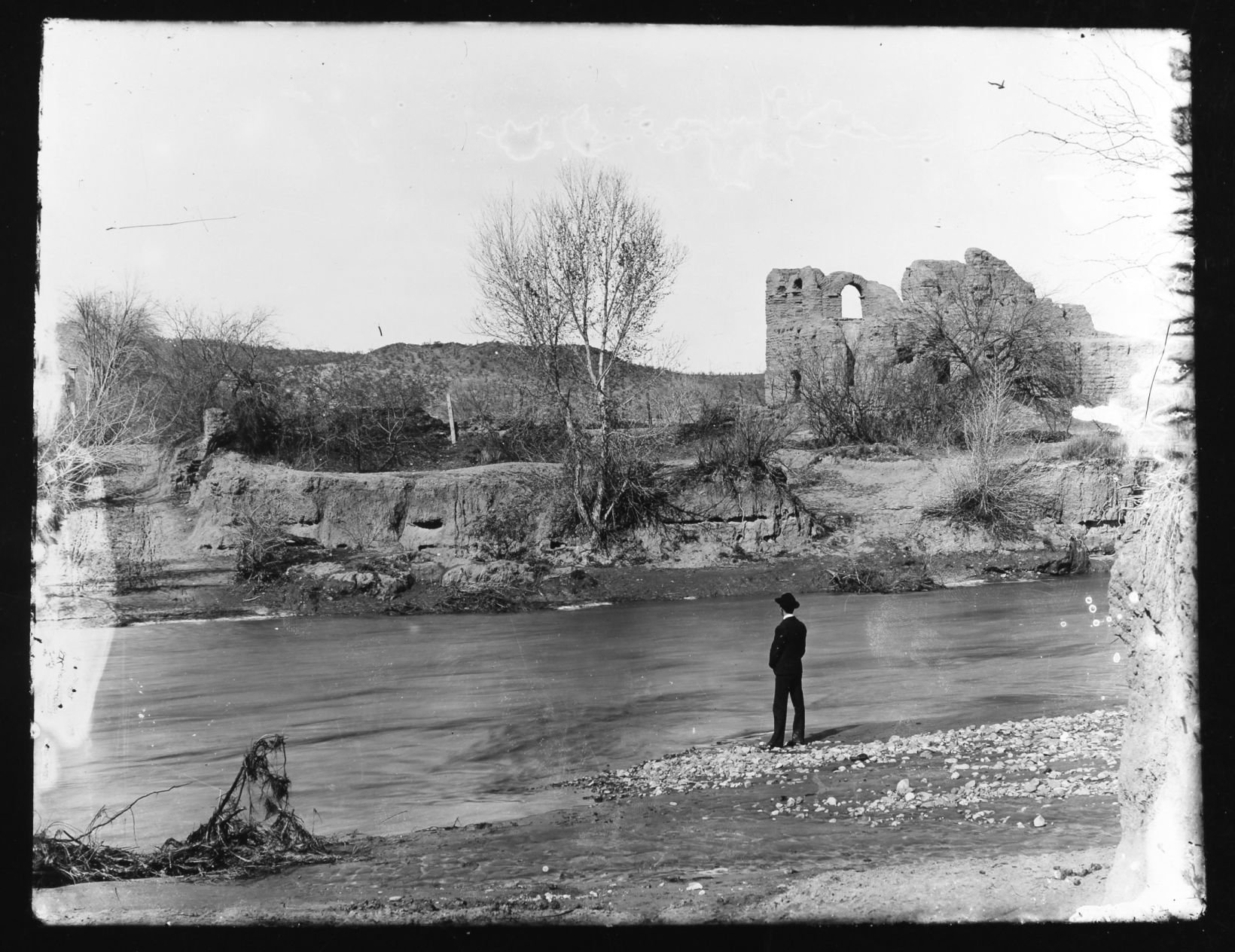
El Convento along the Santa Cruz River, ca. 1910.
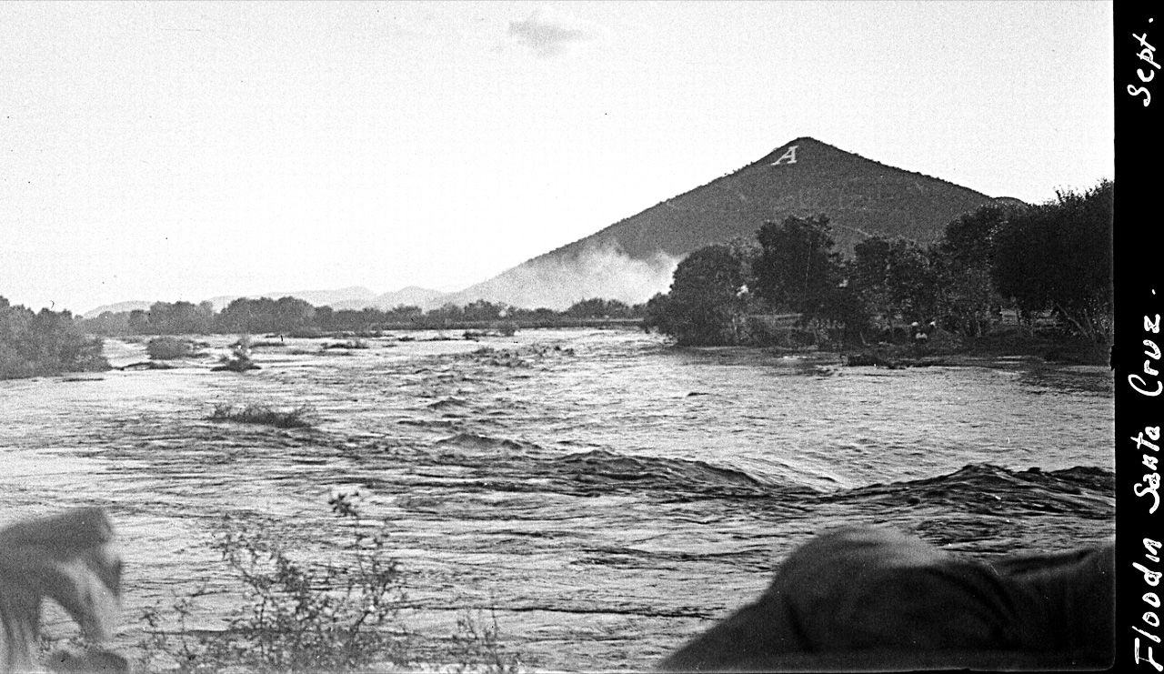
Flooding of the Santa Cruz River, Tucson, in September, 1926, from “Letters from Tucson, 1925-1927” by Ethel Stiffler.
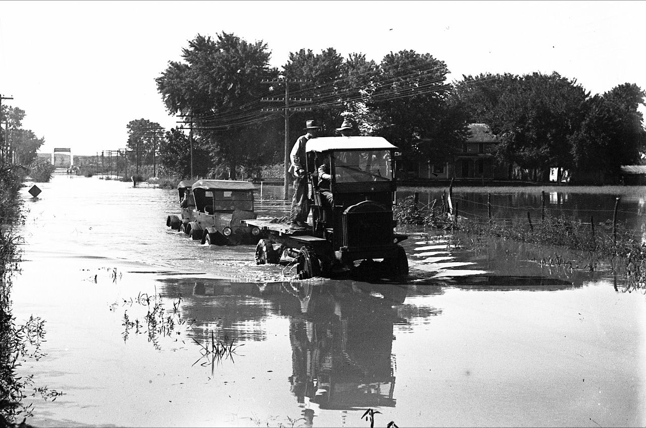
Flooding of the Santa Cruz River, Tucson, in September, 1926, from “Letters from Tucson, 1925-1927” by Ethel Stiffler.

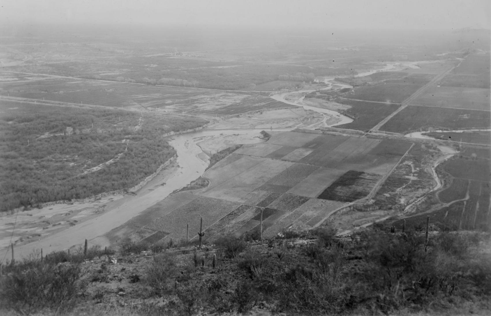
Aerial view of the Santa Cruz River as it winds its way through Pima County north of Cortaro Road in 1953. The county was considering a bridge at several locations, but had to contend with the ever-changing course of the river.

The Tucson Citizen wrote in 1970, "The Santa Cruz River is a garbage dump" and "even marijuana grows in it." City leaders were pushing to upgrade and beautify the channel. The U.S. Army Corps of Engineers was studying the possibility.
The Santa Cruz River flowing under the Congress Street bridge in August, 1952. The Garden of Gesthemane is in the background.
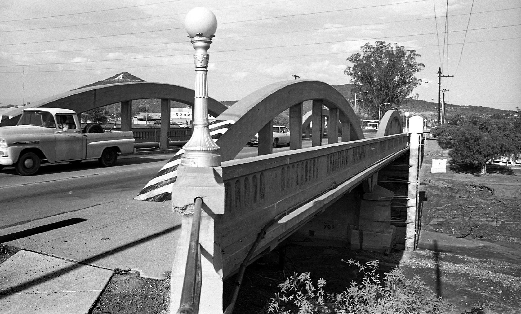
By July 24, 1970 the old bridge on West Congress over the Santa Cruz River had to go and be replaced by a new bridge.

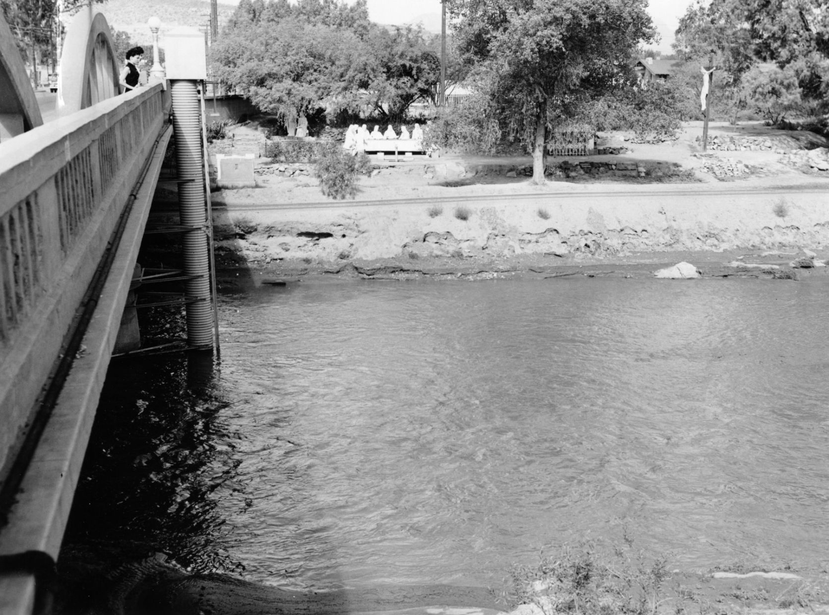
By July 24, 1970 the figures from Felix Lucero's Last Supper had been on the west side of the Santa Cruz River for more than 20 years. City authorities had decided to leave it in place while a new bridge on West Congress Street was to be replaced.
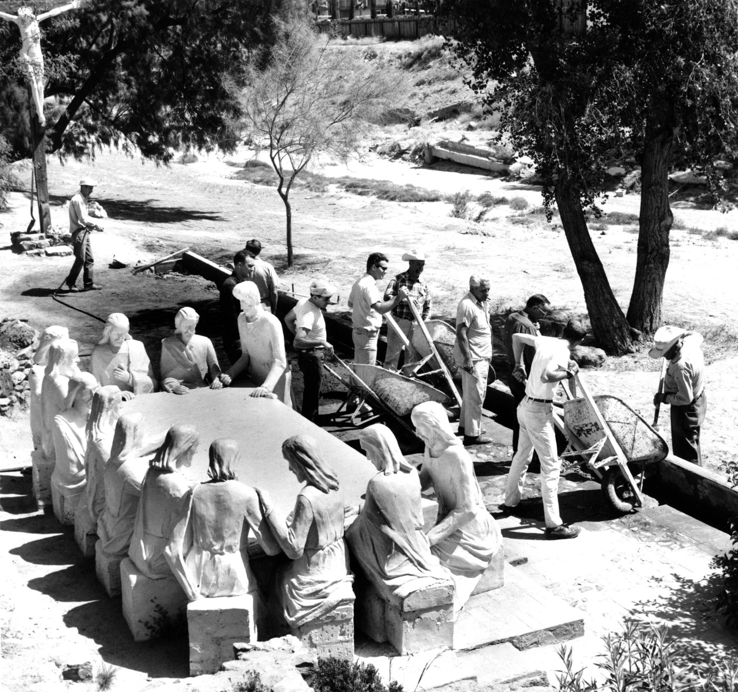
Volunteers from the Tucson Jaycees and Junior Chamber of Commerce finish restoration of the statues and grounds of the Garden of Gethsemane along the Santa Cruz River in May, 1964. The statues were ravaged by vandals and weather. The city parks and recreation department worked with the volunteers. Artist Felix Lucero began sculpture project in 1938 and finished it nine years later.

Drought in June, 1974, turned the Santa Cruz riverbed into crunchy chunks of dried mud.

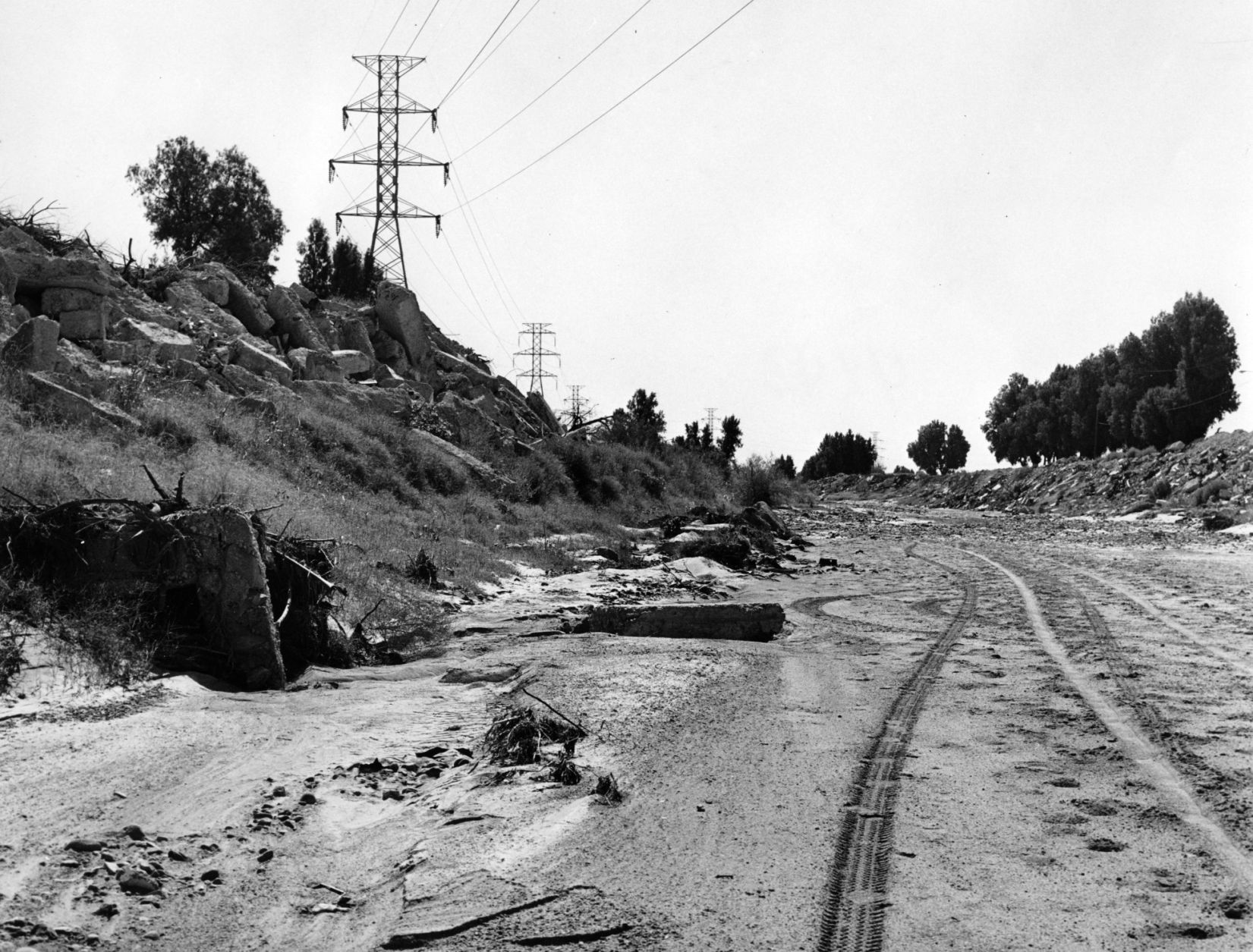
The Santa Cruz River flowing under Silverlake Road in August, 1970.

Children play in the Santa Cruz River near Speedway Blvd in August, 1970.
The Santa Cruz riverbed at Congress Street in November, 1967.

After years of waiting, crews began clearing debris and channeling the Santa Cruz River in November, 1977, and constructing what would become a 14-mile river park. The Speedway Blvd. bridge is in the background.

After years of waiting, crews began clearing debris and channeling the Santa Cruz River in November, 1977, and constructing what would become a 14-mile river park.

The Santa Cruz River looks peaceful flowing underneath Speedway Road after days of flooding in October, 1977.

Adalberto Ballesteros rides along the Santa Cruz River west of downtown Tucson in 1980.

The Santa Cruz River looking north from Valencia Road in July, 1974.

Junked cars and trash spill into the Santa Cruz River, looking south, just south of Grant Road in July, 1974.

Road graders scrape the Santa Cruz River channel between Speedway and Grant roads during bank stabilization construction in May, 1991.
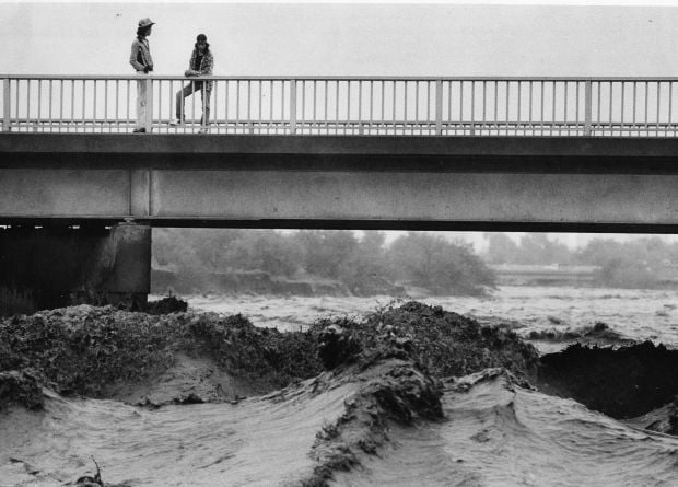
Water surges in the Santa Cruz River at the St. Mary’s Road bridge on Oct. 2, 1983.

Flooding in Marana after the Santa Cruz River overflowed its banks in Oct. 1983.

A bridge on the Santa Cruz River northwest of Tucson washed out during flooding in October 1983.

Residents watch the surging Santa Cruz River rush past West St. Mary's Road on January 19, 1993.

Tucson firefighters are standing by and waiting for two kids floating in the Santa Cruz River on some type of object during flooding in July, 1996.

As the Tucson Modern Streetcar rumbles across the Luis G. Gutierrez Bridge, water flows bank to bank along the Santa Cruz River after a morning monsoon storm on July 15, 2014.

Johnny Dearmore skips a rock in the Santa Cruz River as reclaimed water is released into the channel at 29th Street as part of the Santa Cruz River Heritage Project on June 24, 2019. The release of effluent is the city’s first effort to restore a fraction of the river’s flow since groundwater pumping dried it up in the 1940s.

The Santa Cruz River flows Friday morning July 23, 2021 after an overnight monsoon storm passed over in Tucson, Ariz.

Betsy Grube, center, with Arizona Game and Fish Department, releases longfin dace fish into the Santa Cruz River at Starr Pass Boulevard on March 23, 2022, as Mark Hart, right, takes a video and Michael Bogan, a professor in aquatic ecology at the University of Arizona, picks up more fish to release. The 600 fish were captured from Cienega Creek in Vail.

