


For the second time in six months, Saguaro National Park is in the middle of a development dispute, with the National Park Service fighting a proposed project near its boundaries.
The first project was the 178-home, gated Lazy K Bar housing on 138 acres near Saguaro Park-West in Marana that was approved this spring after a nearly three-year dispute.
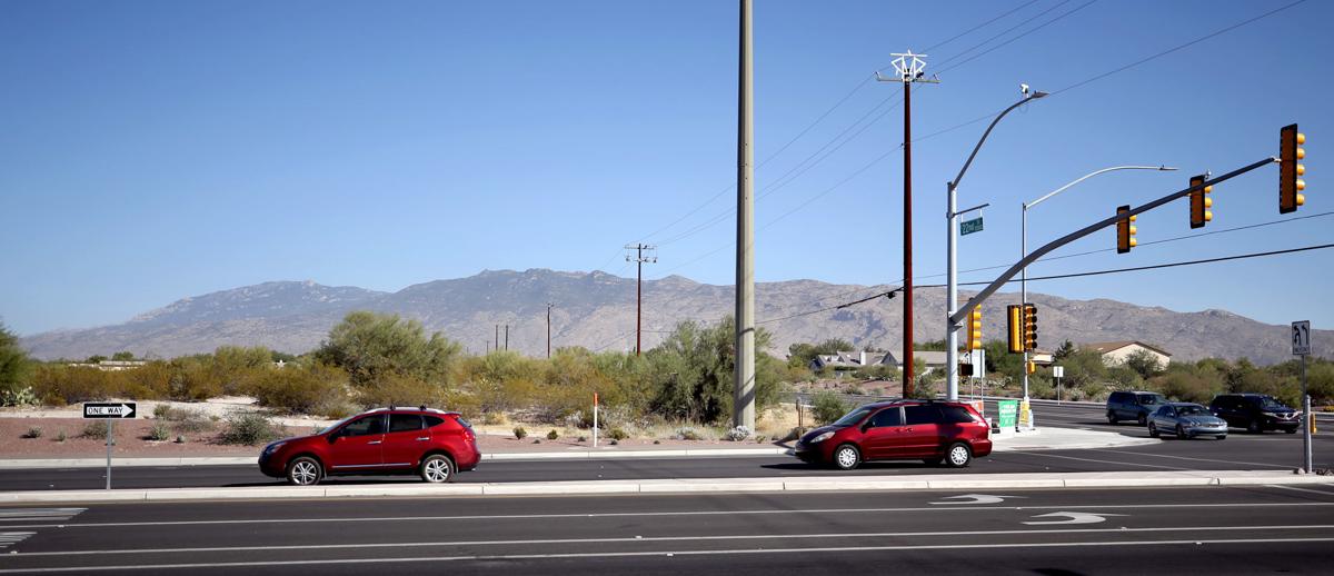
This time, it’s a much smaller project — a Fry’s supermarket, two smaller stores and a nine-pump gas station — on 16.3 acres, lying across town, near Saguaro National Park-East. It’s farther from the park: 1.8 miles, compared to a half-mile for Lazy K. But the dispute has been about as heated and long.
Tuesday night, it comes to a head when the Tucson City Council is slated to decide whether to approve rezoning the land at East 22nd Street and South Houghton Road from low-density residential to allow commercial development.
If the rezoning succeeds, 12.2 acres of mesquite, creosote and prickly pear-dominated lands will be bladed, and 4.1 acres will be saved as open space.
The park service, neighbors fighting the project and the Fry’s developers disagree on whether the project’s space-saving plans will comply with the Houghton East Neighborhood Plan. They disagree about the desirability of a retaining wall up to 8 feet tall along two sides of the parcel, next to that open space. They also disagree on whether the project could affect the park.
“Our primary concern is that they are proposing a wall around the perimeter of open space,” said Scott Stonum, Saguaro National Park’s science and resource management chief, saying that will “disconnect it from the surrounding area and greatly reduce its ecological value.”
But a consultant’s study conducted for the Fry’s developers and submitted to the city late last week found the project will not disrupt any major wildlife corridors that allow deer and javelina to move between the site and the national park. That’s because the project won’t disturb any major drainageways leading to the park from surrounding neighborhoods, said the study from Westland Resources.
“The issues for protection of Saguaro National Park are the major wildlife corridors which are major washes that that wildlife uses to get around the urban core and into these open spaces,” said Keri Silvyn, a lawyer for the Fry’s developers. “They are not on our site. There’s always urban wildlife, no matter where you live. Protection of the park is a different matter.”
Based on testimony at a recent City Zoning Examiner’s hearing, neighbors are divided. Twelve testified in favor, including some who are officials or members of the 22nd Street Baptist Church, the site’s current owner. Some said they’d welcome a new Fry’s because the nearest existing Fry’s at 22nd and Harrison is too small and doesn’t have the variety of offerings of the new store, including a Starbucks, a sushi bar, a pan-Asian bistro, a sandwich shop and a wine bar complete with a growler station.
Thirteen neighbors testified against it, and about 1,000 residents have signed petitions protesting the rezoning. Besides the issues of open space and the park, many are concerned about traffic, noise, and other concerns about compatibility with the neighborhood plan.
The dispute’s outcome is highly uncertain. One council member, Steve Kozachik, was ready to take a stand last week — he’s against the rezoning. The others either say they’re undecided but skeptical of the developer’s open space plan, are leaning toward supporting it, or are still reviewing the plethora of reports and correspondence. Councilwoman Shirley Scott was the only member not to respond to calls from the Star seeking comment.
Wildlife corridors
The site is blanketed with creosote, mesquite, palo verde and prickly pear. To the north and east lies low-density housing of about one home per acre. Farther east lies a significant patch of higher-density homes, but near that is an open area large enough for at least some wildlife to go through.
In June 2016, neighbors opposed to the project in the Save Houghton East Coalition had Pinau Merlin, a naturalist and author of three books on the Sonoran Desert, walk the site to get a good look at the wildlife it supports.
Merlin, whose books include a field guide to desert holes and the wildlife that use them, found in a few hours 10 bird species or their tracks and nests, and tracks, nests, beds, burrows, scrape and holes for 11 mammals including bobcats, javelina, mule deer, ground squirrels, mice, pack rats and gray foxes. She also spotted four insect species and a harvester ant hole.
Whether the wildlife corridors and washes on the site are significant enough to connect it to the national park remains an area of dispute. But nobody disagrees that the guiding force for how this space should be preserved as part of a future development comes in the Houghton East Neighborhood Plan, approved by the City Council 32 years ago.
The plan covers a two-square-mile area bounded on the east by Melpomene Way, a mile west of what was then Saguaro National Monument. The planning area is bounded by Houghton Road on the west, Speedway on the north and 22nd Street on the south.
Its stated goal is “to guide future development to protect the natural amenities of the area and to enhance existing neighborhoods.”
Neighbors, park officials, city staff and the developer do have a key disagreement on how the plan should be interpreted. In question is whether it requires projects on the scale of the Fry’s development to retain 20 or 25 percent as “consolidated open space.” The neighbors and the developer disagree, but the developer has now committed to saving 25 percent.
Consolidated open space should be “contiguous” within the project site and linked with surrounding open space “to create continuous areas of undisturbed natural vegetation,” the plan says.
This open space design meets the neighborhood plan’s call for contiguous open space, said Keri Silvyn, the Fry’s developer’s attorney.
“The phrase contiguous areas contemplates more than one area. It doesn’t mean a continuous ring around the property,” she said. “You have to remember the purpose of open space in the plan: ‘visual diversity and passive recreational opportunities’ — not to create corridors for wildlife. There are no corridors for wildlife. As you drive down Houghton and 22nd, by putting the open space areas there, it creates a visual diversity corridor for neighbors.”
The 1985 neighborhood plan designated this site for commercial development, added Linda Morales, CEO of the Planning Center, a Fry’s consultant.
The “segmented, linear, landscaping strips” along the property’s sides aren’t truly contiguous, countered Linda Schaub, leader of the Save Houghton East Coalition, which is fighting the rezoning. She and naturalist Pinau Merlin say there are clearly wildlife corridors on the site.
“I don’t remember major washes but there are small drainages that drain off major washes,” Merlin said. “Anyplace that carries water, however briefly, supports wildlife.”
Schaub said the entire 25 percent open space must be protected as a block.
Thirty-two years ago, Molly McKasson sat on a citizens advisory committee that recommended approval of the Houghton East plan to the City Council. She later served eight years on the council and today opposes the Fry’s rezoning, saying it’s not meeting the plan’s letter or spirit.
“They may be able to fudge it, to make some sort of a new thing, a new beast, interpreted in a way to seem like it meets the rules,” said McKasson. “It may not be illegal but it is completely against what the neighborhood intended.”
But the city’s Planning and Development Services Department, which recommends approval of the rezoning, believes the open space meets the neighborhood plan’s definition of contiguous, said John Beall, head of the department’s entitlement and special exceptions team.
The city’s development code defines contiguous as lands that are abutting, “meaning to have a common boundary,” Beall said. “The consolidated open space follows a common boundary surrounding the project.”
“Too narrow a view”
For Saguaro Park’s Stonum, compliance with the neighborhood plan is a key issue. He points to the provision saying consolidated open space on one site should be linked with open space in other areas.
The wall by itself would lead to violations of that provision, he said.
The developers proposed the retaining wall in response to concerns from the site’s immediate neighbors who wanted a buffer from the shopping area, “some vociferously,” said Morales. The wall will range in height from 6 to 8 feet and in some areas there may be no wall if adjoining neighbors don’t want one, she said. The walls may be made of masonry, wrought iron or a combination.
“All walls/fencing will be on the property line so that the open space buffer will be unencumbered. Wall design will include drainage cutouts or wrought iron sections that will ensure any local runoff can continue through the wall, but will also allow the urban wildlife to move through,” Morales said. By that, she means smaller wildlife such as javelina, not deer or mountain lions.
While the Westland Resources study doesn’t see a major connection route linking wildlife between the development site and the national park, the park service’s Stonum says that’s a diversion from the main issues.
“Our concern is the broader connectivity of the entire landscape ... interconnecting with all the areas outside the park and within the park,” Stonum said. “We’re not saying there’s a direct connection with that lot. Just focusing on the link from that parcel to the park is too narrow a view.”
Perhaps park officials’ biggest concern is that this rezoning would set a precedent for future rezonings in that area that could block more connections to the national park and leave it as an island. That’s what he sees already happening at Saguaro National Park-West with surrounding development that existed before the Lazy K project was approved.
Some species of skunks and foxes that park officials documented at Saguaro-West a decade ago can’t be found there now, even with the increased use of remote cameras now compared to a decade ago, Stonum said. While officials won’t know for sure until more studies are done, “we suspect we have lost species out there,” he said.

