


After a few more days of warmer-than-normal temperatures, Tucson could be on track for a soggy Christmas, the National Weather Service here said.
Slight chances of rain are expected on Wednesday, Thursday and Friday this week, but the real event will likely occur over the weekend.
The rain won’t be torrential, but could impact holiday travel, said Tom Dang, a meteorologist with he National Weather Service in Tucson.
“It’s just been dry for so long that this is a change,” Dang said, warning travelers to keep their eyes on the road and the forecast.
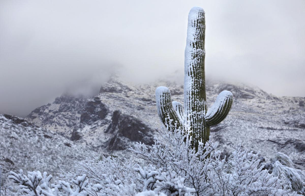
And though it’s likely too soon to say, Dang predicted that there could be snow on the mountain tops for Christmas as a result of the rain event.
The weather service said the exact timing of the heaviest participation is uncertain, but confidence is growing for an extended period of rain chances in the days that lead up to Christmas.
At this point, Tucson travelers needn’t worry about any severe flooding, Dang said.
Until then, residents can kick back and enjoy higher than average temperatures that will disappear with the rain.
Temperatures are expected to be in the mid-to-upper 70s through Tuesday, and taper down into the 60s later in the week and into the weekend, Dang said.
But, will the upcoming clouds prevent Santa from finding his way to Tucson?
“I don’t know,” Dang said. “We’ll have to keep an eye on the forecast.”

