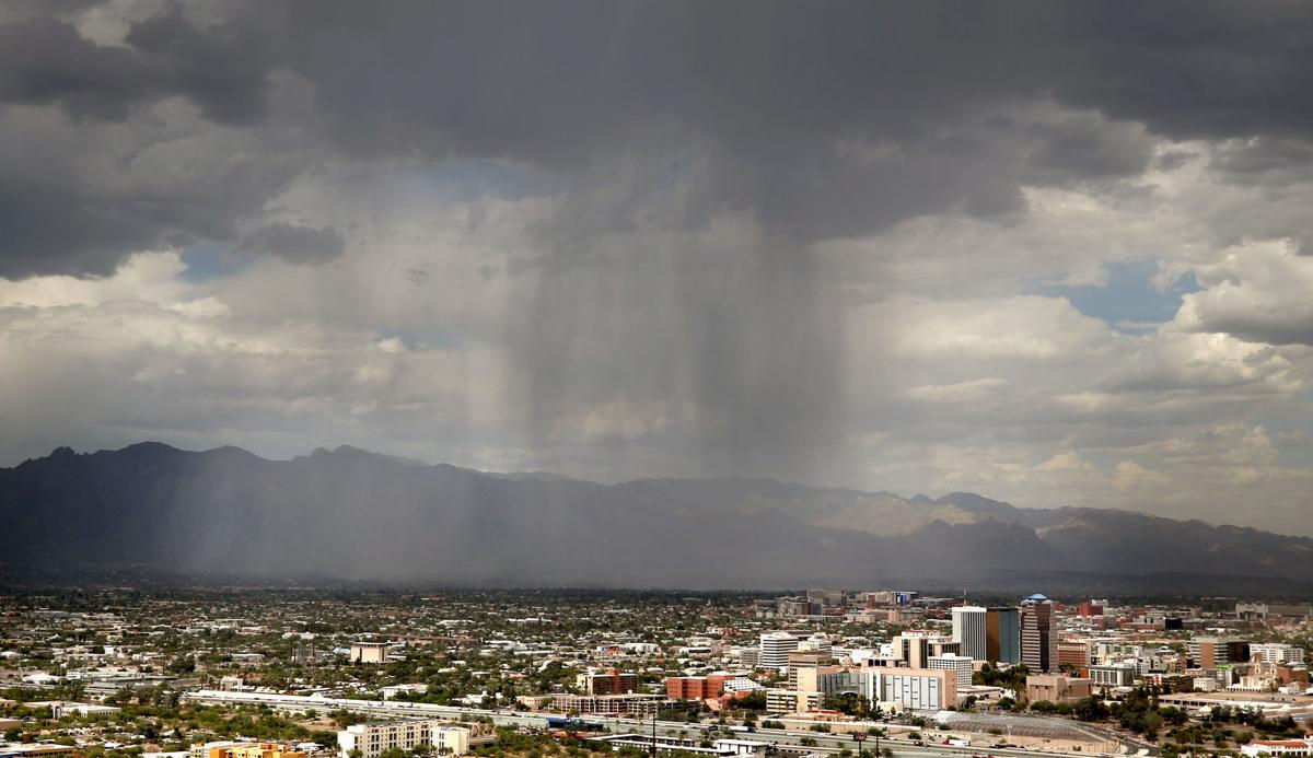
Although Southern Arizona just saw its second-wettest May on record, monsoons are expected to roll into Tucson later than usual this summer.
Glenn Lader, a National Weather Service meteorologist, said Tucsonans can expect a late onset to the monsoon due to the wet winter in the western United States.
With more snowpack in the central Rocky Mountains this year, the temperatures are not warming up as quickly, delaying the thunderstorms usually seen in the Southwest during summer months, said meteorologist Jeremy Michael.
The weather systems that kept the area cool in the spring also suppressed high pressure from moving north into the Four Corners region that brings the necessary heat to build monsoon storms in the area, Michael said.
“You really need that high pressure to come in and basically bake the Southwest,” he said.
A thunderstorm requires moisture and heat. Without heat to combine with the moisture, thunderstorms won’t come to Southern Arizona until later in the summer, as the high pressure starts to slowly move north, Michael said.
However, that doesn’t mean we won’t see any monsoons . Lader says we’ll likely see rainfall totals closer to average during the later part of monsoon season.
With El Niño conditions in the Pacific Ocean continuing through monsoon season, warmer sea-surface temperatures may actually help advance tropical systems in September, increasing rainfall.
Last month had unusually low temperatures, making it the 23rd-coolest May on record. And while cool weather systems moved through the area in May, those temperatures won’t last.
Weather patterns show the coming summer days will be warmer than normal.
“Once we exit this weather pattern, we’re going to get right back to where we should be for this time of year,” Lader said.
That prediction is already starting to show, with this week’s high temperatures expected to be in the mid- to upper-90s, kicking off a long, hot summer.


