


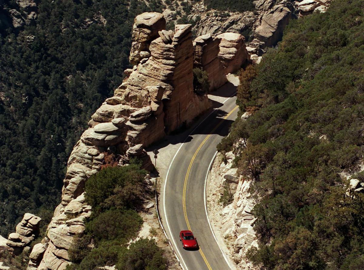
The road to Mt. Lemmon is scheduled to open to the public this Saturday at 6 a.m., months ahead of schedule, as officials continue to monitor the remaining effects of Bighorn Fire, and continue to repair the damage.
Catalina Highway will no longer remain closed until Nov. 1, with Saturday's opening allowing car access to Summerhaven and Ski Valley, officials said Wednesday. National forest areas on the mountain, including hiking trails and campgrounds, remain closed.
The change of plans came after the Pima County Department of Transportation spent the week replacing posts that were damaged in the fire that burned nearly 120,000 acres before it was officially contained last week.
More than 250 guardrail posts that were critically damaged as a result of the fire were repaired, with more than 200 remaining, which total about 1,700 feet of protection, officials said. Speed reductions and lane restrictions will remain in place in the areas where work is being completed.
Closed areas of the Santa Catalina Mountains and Coronado National Forest include the General Hitchcock, Gordon Hirabayashi, Rose Canyon and Spencer Canyon campgrounds; Sabino Canyon Recreation Area; Sabino Canyon Trail #23; and the Control Road #38 Scenic Drive.
Dorilis Camacho, a spokeswoman for the Forest Service, told the Star that these previously announced closures are still on track to be closed until Nov. 1, but are subject to change.
"The closure order is still in effect for public health and safety. There are still hazards and the burn scars," she said, referring to potential post-fire flooding and runoff issues.
The Pima County Sheriff's Department will monitor the amount of cars allowed to head up to Mt. Lemmon, with limited parking available due to the remaining closures. Delays are expected.
Those who work up in Mt. Lemmon "couldn't be more grateful" for the early opening, said Leanne Mack, the general manager of the Mt. Lemmon General Store, who is also involved with the Mt. Lemmon Business Economic Association.
She said business closures and changes spurned by the coronavirus pandemic as well as the projected Nov. 1 open date likely meant that the dozen or so businesses on Mt. Lemmon wouldn't have survived.
"Our livelihood depends on visitors," she said, pointing out that they helped them through the pandemic when some businesses were limited to takeout-only. "We were overrun but in a good way.”
Mack said there was a concerted effort from the businesses to contact county representatives, including supervisor Steve Christy, whose district includes Mt. Lemmon, and push for the early reopening.
“It’s been one heck of a year for us," said Mack, a Mt. Lemmon resident who has worked at the store on and off since 2000. "It’s been a ghost town for the last three and half weeks. It’s just strange up here and we really miss our visitors and having people up here.”
In a statement, Christy, who toured the fire damage earlier this week, commended the county for "their tireless efforts to safely and quickly re-open" the highway.
“This year has been a struggle for all local businesses and those on the mountain have endured two shut downs because of the pandemic and the fire," he said. "I am sure we all look forward to escaping the heat and enjoying some Summerhaven hospitality.”
For Mack, she labeled the ordeal as an "emotional rollercoaster." She'll return to work on Friday for the first time in seven weeks and start preparing 400 pounds of fudge in preparation for anticipated large crowds on Saturday.
"We’re gonna prepare for the worst and hope for the best," she joked.
Video: Flash flood carries runoff from Bighorn Fire
A flash flood hit the Cañada del Oro Wash near Edwin Road in July 2020, during the burning of the massive Bighorn Fire in the Catalina Mountains north of Tucson. The flash flood carried burned debris and runoff from the fire.
Photos: The Bighorn Fire burn scar in the Santa Catalina Mountains
Bighorn Fire Burn Scar, hiking trails
Updated
Gregg Sasek, dispersed recreation manager for the Coronado National Forest Santa Catalina Ranger District, demonstrates how ground along the Palisade Trail has been burnt out making it easy for hikers to sink a leg into the soil, on Aug. 12, 2020. Various dangers are still being accessed throughout the Coronado National Forest as a result of the Bighorn Fire. Pool photo by Josh Galemore / Arizona Daily Star
Bighorn Fire Burn Scar, hiking trails
Updated
Santa Catalina District Ranger CJ Woodard looks at the burn scar caused by the Bighorn Fire along the Palisade Trail in the Santa Catalina Ranger District of the Coronado National Forest, on Aug. 12, 2020. Pool photo by Josh Galemore / Arizona Daily Star
Bighorn Fire Burn Scar, hiking trails
Updated
A scorched tree along the Palisade Trail in the Santa Catalina Ranger District of the Coronado National Forest, on Aug. 12, 2020. Dangers including burnt vegetation, unstable trees and loose soil as a result of the Bighorn Fire are being accessed by the Forest Service before trails in the area are opened to the public. Pool photo by Josh Galemore / Arizona Daily Star
Bighorn Fire Burn Scar, hiking trails
Updated
A tree uprooted by burnt roots and soil as a result of the Bighorn Fire along the Palisade Trail in the Santa Catalina Ranger District of the Coronado National Forest, on Aug. 12, 2020. Pool photo by Josh Galemore / Arizona Daily Star
Bighorn Fire Burn Scar, hiking trails
Updated
Gregg Sasek, dispersed recreation manager with the Coronado National Forest Santa Catalina Ranger District, leads media and other Forest Service workers along the Palisade Trail to showcase various types of damage done to wilderness area as a result of the Bighorn Fire, on Aug. 12, 2020. Pool photo by Josh Galemore / Arizona Daily Star
Bighorn Fire Burn Scar, hiking trails
Updated
A scorched tree along the Palisade Trail in the Santa Catalina Ranger District of the Coronado National Forest, on Aug. 12, 2020. Dangers including burnt vegetation, unstable trees and loose soil as a result of the Bighorn Fire are being accessed by the Forest Service before trails in the area are opened to the public. Pool photo by Josh Galemore / Arizona Daily Star
Bighorn Fire Burn Scar, hiking trails
Updated
Ponderosa Pines charred by the Bighorn Fire stand along the Palisade Trail in the Santa Catalina Ranger District of the Coronado National Forest, on Aug. 12, 2020. Pool photo by Josh Galemore / Arizona Daily Star
Bighorn Fire Burn Scar, hiking trails
Updated
A tree uprooted and burnt as a result of the Bighorn Fire along the Palisade Trail in the Santa Catalina Ranger District of the Coronado National Forest, on Aug. 12, 2020. Pool photo by Josh Galemore / Arizona Daily Star
Bighorn Fire Burn Scar, hiking trails
Updated
Gregg Sasek, dispersed recreation manager with the Coronado National Forest Santa Catalina Ranger District, carries a combi-tool (a woodland fire tool which combines a shovel and pick) as he leads media and other Forest Service personnel along the Palisade Trail to showcase various types of damage done to wilderness area as a result of the Bighorn Fire, on Aug. 12, 2020. Pool photo by Josh Galemore / Arizona Daily Star
Bighorn Fire Burn Scar, hiking trails
Updated
Forest Service personnel and media walk through a burn scar caused by the Bighorn Fire along the Palisade Trail in the Santa Catalina Ranger District of the Coronado National Forest, on Aug. 12, 2020. Pool photo by Josh Galemore / Arizona Daily Star
Bighorn Fire Burn Scar, hiking trails
Updated
Forest Service personnel and media walk through a burn scar caused by the Bighorn Fire along the Palisade Trail in the Santa Catalina Ranger District of the Coronado National Forest, on Aug. 12, 2020. Pool photo by Josh Galemore / Arizona Daily Star
Bighorn Fire Burn Scar, hiking trails
Updated
Gregg Sasek, dispersed recreation manager with the Coronado National Forest Santa Catalina Ranger District, leads media and other Forest Service workers along the Palisade Trail to showcase various types of damage done to wilderness area as a result of the Bighorn Fire, on Aug. 12, 2020. Pool photo by Josh Galemore / Arizona Daily Star
Bighorn Fire Burn Scar, hiking trails
Updated
A fern sprouts from the soil in a burnt out area along the Palisade Trail in the Santa Catalina Ranger District of the Coronado National Forest, on Aug. 12, 2020. Pool photo by Josh Galemore / Arizona Daily Star
Bighorn Fire Burn Scar, hiking trails
Updated
Gregg Sasek, dispersed recreation manager with the Coronado National Forest Santa Catalina Ranger District, checks tree tops for signs of burn while leading media and other Forest Service workers along the Palisade Trail to showcase various types of damage done to wilderness area as a result of the Bighorn Fire, on Aug. 12, 2020. Pool photo by Josh Galemore / Arizona Daily Star
Bighorn Fire Burn Scar, hiking trails
Updated
A burn scar along the Palisade Trail in the Santa Catalina Ranger District of the Coronado National Forest, on Aug. 12, 2020. Pool photo by Josh Galemore / Arizona Daily Star
Bighorn Fire Burn Scar, hiking trails
Updated
A tree base scorched by the Bighorn Fire along the Palisade Trail in the Santa Catalina Ranger District of the Coronado National Forest, on Aug. 12, 2020. The weakening of the base makes it easier for trees to fall and are a serious danger to hikers. Pool photo by Josh Galemore / Arizona Daily Star
Bighorn Fire Burn Scar, hiking trails
Updated
Gregg Sasek, dispersed recreation manager with the Coronado National Forest Santa Catalina Ranger District, walks by a "leaner" (an uprooted tree hung up on another tree or object) as he leads media and other Forest Service workers along the Palisade Trail to showcase various types of damage done to wilderness area as a result of the Bighorn Fire, on Aug. 12, 2020. Pool photo by Josh Galemore / Arizona Daily Star
Bighorn Fire Burn Scar, hiking trails
Updated
A burn scar from the Bighorn Fire along a hilltop near the Palisade Trail in the Santa Catalina Ranger District of the Coronado National Forest, on Aug. 12, 2020. Pool photo by Josh Galemore / Arizona Daily Star
Bighorn Fire Burn Scar, hiking trails
Updated
Scorched pine needles along the Palisade Trail in the Santa Catalina district of the Coronado National Forest, on Aug. 12, 2020. Pool photo by Josh Galemore / Arizona Daily Star
Bighorn Fire
Updated
Bighorn Fire scar north of Summerhaven, Ariz, right, on July 15, 2020. The Mt. Lemmon Fire station is top center in the photo.
Bighorn Fire
Updated
Bighorn Fire in the Santa Catalina Mountains below Summerhaven, Ariz, right, on July 15, 2020.
Bighorn Fire
Updated
Bighorn Fire scar in the Santa Catalina Mountains north of Summerhaven (lower right) on July 15, 2020.
Bighorn Fire
Updated
Bighorn Fire scar in the Santa Catalina Mountains below the town of Summerhaven on July 15, 2020.
Bighorn Fire
Updated
The Mt. Lemmon Control Road cuts through the Bighorn Fire scar on the north side of the Santa Catalina Mountains near Oracle, Ariz., on July 15, 2020.
Bighorn Fire
Updated
Bighorn Fire scar below Mt. Lemmon in the Santa Catalina Mountains on July 15, 2020.
Bighorn Fire
Updated
Bighorn Fire scar area: Cañada del Oro basin looking south at Samaniego Ridge in the Santa Catalina Mountains north of Tucson on July 1, 2020. The summit of Mt Lemmon is at left.
Bighorn Fire
Updated
The Bighorn Fire scar area shown looking from East Ski Run toward Oracle Ridge, left, and Sanmaniego Ridge, right, in the Santa Catalina Mountains north of Tucson.
Bighorn Fire
Updated
Bighorn Fire scar area: South face of Mt Kimball on July 3, 2020, in the Santa Catalina Mountains north of Tucson.
Bighorn Fire
Updated
Bighorn Fire scar area: Regional Flood Control Staff installing a new real-time ALERT rainfall monitoring site in the burn area in the Santa Catalina Mountains north of Tucson in July, 2020. These are the backbone of the flash flood warning system.
Bighorn Fire
Updated
Charred debris from the Bighorn Fire moves down the Cañada del Oro Wash after a monsoon storm on July 15, 2020.
Bighorn Fire
Updated
Charred debris from the Bighorn Fire moves down the Cañada del Oro Wash after a monsoon storm on July 15, 2020.

