


It’s called the Sun Corridor Trail and we might think of it as the suburban cousin of the backcountry Arizona National Scenic Trail.
While the 800-mile National Scenic Trail spans the state from north to south, mostly east of Interstate 10, the partially completed Sun Corridor Trail stays mostly west of I-10 and loops around major cities.
Its route will cover an estimated 1,400 miles on city, county, state and federal lands from Las Vegas, Nevada, to Douglas on the Arizona-Mexico border.
That estimated length is a calculation at this point, said Steve Anderson, planning division manager for Pima County Natural Resources, Parks and Recreation. Several of that agency’s trails are included in the route.
“We won’t have an exact mileage until the trail is done,” Anderson said. “We’re looking at taking the trail to Red Rock Canyon next to Las Vegas and in various configurations along the Interstate 40 corridor. So, until those have been decided on, we won’t know the exact mileage. It’ll be a long one though.”
Anderson said 550 to 600 miles of the trail are complete. Estimated costs for sections to be completed along I-40 and elsewhere aren’t available. There is no overall price tag for the completed trail segments, which are overseen by various government agencies.
“The estimated completion date for the trail is 2025, but that can slip a bit,” Anderson said.
Tying together trails
Said Anderson: “The trail is basically about tying together terrific loop trails around various communities in Arizona and Nevada into one trail. We wanted the Sun Corridor Trail to be rideable or hikeable with a credit card in your pocket” — meaning that it wouldn’t stray far from inhabited areas with businesses.
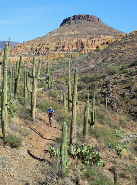
Unlike the Arizona Trail, which is oriented mainly toward hikers, the Sun Corridor Trail is geared toward bicycle riders.
A trail planning document notes that “the trail begins in a loop around Las Vegas, Nev., and ends with several linear corridors around the countryside in Cochise and Santa Cruz counties in Southern Arizona. When completed, it will consist of regional trail loops around Las Vegas, Kingman, Williams, Flagstaff, Sedona, Prescott, Phoenix, Casa Grande, the Picacho Mountains and Tucson that are tied together, and linked to rail corridors that connect Benson, Fairbank, Sierra Vista, Tombstone, Sonoita, Patagonia, Naco, Bisbee, Douglas and Pearce.”
Anderson said the plan calls for using existing trails — “especially in Pima County, where for the most part the trails are already listed on the Pima Regional Trail System Master Plan.”
He said Pima County trails, managed by various agencies, that are part of the Sun Corridor project include the CAP Trail, Tortolita West Trail, Big Wash Trail, 50-Year Trail, Sutherland Trail, two segments of the Arizona Trail, Hope Camp Trail and Hohokam Trail.

