


The smoke you see rising from the Santa Catalina Mountains Monday, Nov. 14, means U.S. Forest Service crews have determined that conditions are right to safely burn brush, downed timber and small trees on Mount Bigelow.
Parts of Mount Bigelow, where an array of communications towers are visible from most parts of Tucson, have been deliberately lit ablaze before, as protective measures against the Aspen and Bullock fires in 2002 and 2003.
Monday’s fire was planned, in part, to help restore what existed before those fires, removing the brushy plants and allowing ponderosa pine to re-establish, said Heidi Schewel, spokeswoman for the Coronado National Forest.
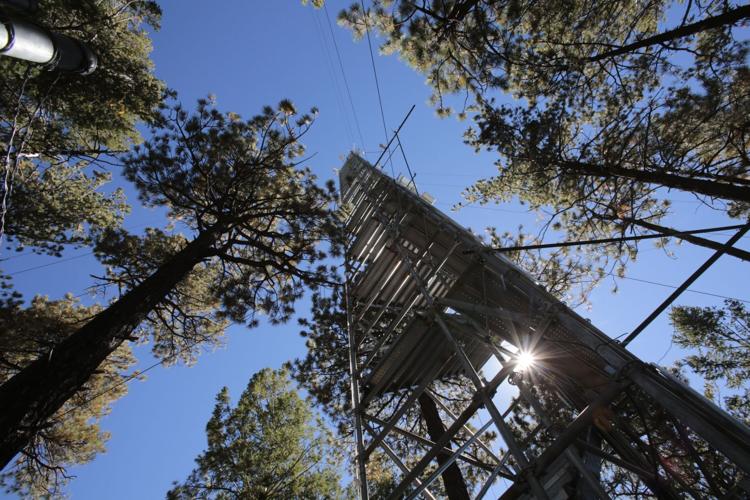
The 200-acre site is mostly surrounded by the paved Mount Lemmon Highway and dirt roads that lead to popular camping spots and the communication towers atop Mount Bigelow, which, at 8,540 feet, is the second-tallest peak in the Catalinas.
On the west side where there are no roads, fire crews will scratch out a “handline” down to bare soil and remove “ladder fuels” that could carry fire into the branches of larger trees, said Schewel.
Crews will burn out from those lines to establish a perimeter and allow the fire to burn hotter on the interior of the site.
A minimum of three fire engines and two 20-person crews will be available to extinguish any spot fires that occur, Schewel said.
Fire will be kept away from several areas, including a water tower, wooden culverts and a four-acre site where University of Arizona researchers have taken continuous measurements of plant mass, tree moisture, soil moisture, precipitation, temperature, humidity and other variables for eight years.
Greg Barron-Gafford, who manages the Critical Zone Observatory site, said the Forest Service has been “super cooperative and interested in maintaining the scientific integrity of the site.”
Barron-Gafford, a UA assistant professor of biogeography and ecosystem science, said he plans to be on the site Monday, “just because we’re nervous.”
In addition to heading off catastrophic fires, prescribed burns help restore forests to a more natural state, said Jim Malusa, a research scientist with the UA School of Natural Resources and the Environment.
Malusa has mapped vegetation on most of the Sky Island ranges managed by the Coronado National Forest, as part of a U.S. Forest Service plan to restore fire to its natural role on the landscape after more than 100 years of snuffing fires as quickly as possible.
The area being burned Monday used to burn at least once a decade, said Malusa.
A study by tree-ring researchers Tom Swetnam and Chris Baisan set the fire-return interval in the adjoining Rose Canyon and Palisades areas at 7.3 years between 1700 and 1900, he said.
Malusa said you can get a better picture of how ponderosa forests develop with regular fire in the adjacent Rincon Mountains, where fires have not been aggressively fought. “The whole top of the Rincons is ponderosa grasslands,” he said.
He said such natural forests “have an appearance anyone would recognize — large mature trees and an understory that doesn’t reach into the canopy.
“It’s a park-like area — a nice place to walk and dream and picnic.”

