

A hard freeze will cover most of southeastern Arizona late Monday through Tuesday morning, the National Weather Service in Arizona says.
Areas affected include metro Tucson and portions of Cochise, Santa Cruz, Cochise, Pinal, Graham and Greenlee counties, the weather service said Monday.

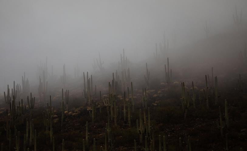
Clouds dip down and cover saguaros on Tucson’s Tumamoc Hill during a winter storm this weekend that brought cold temperatures and rain to the area. A hard freeze warning from midnight to 10 a.m. Tuesday includes the Tucson metro area.
Low temperatures in some parts of the region could drop to the teens. Both Douglas and Willcox could get as cold a 14 degrees overnight and Benson could be at about 16 degrees, the weather service said.
The Tucson area was expected to drop to the mid 20s overnight.
The area's hard freeze warning is in effect from midnight to 10 a.m. Tuesday.

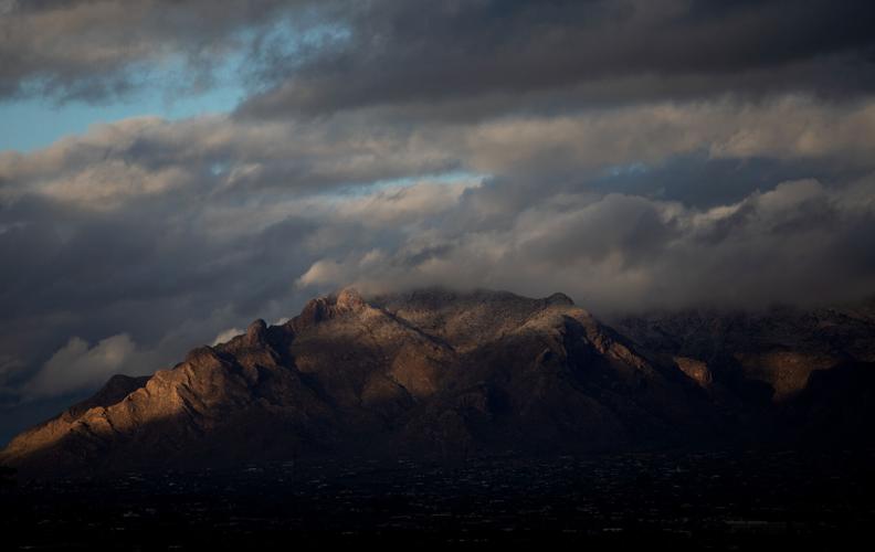
A small sprinkle of snow is seen on the top of the Santa Catalina Mountains Sunday as sun rays break through the clouds after a winter rain storm. Another storm system is expected in the area Thursday, and could drop up to six inches of snow on Mount Lemmon, the National Weather Service says.
The next cold winter system will move through the area Thursday. It will bring Tucson another round of rain, gusty winds and the potential for snow in areas mostly south and east of the city.
Mount Lemmon on Tuesday is expected to get between 4 and 6 inches of snow.
Monday's high temperature stayed in the mid 40s.

