


The Colorado River is essential for life in the Southwestern U.S. and northern Mexico. But the last 16 years have brought the river its lowest levels of inflows from tributaries and other sources due to an ongoing drought.
This drought is also one of the most severe in the past 1,200 years.
To help cushion the drought’s impacts, the river basin has a series of reservoirs that can store about 60 million acre-feet of water, enough to serve about 120 million typical households for a year or to cover the state of Utah a foot deep in water.
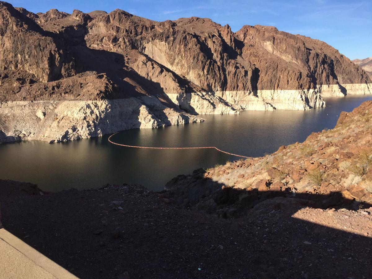
Since 2000, Lake Mead’s elevation has dropped more than 130 feet, to about 1,080 feet at the end of 2015.
These and many, many other facts about the river, its water supply and the drought are now a click away.
Under a federal initiative, a new website has been developed providing a wealth of factoids, charts, graphics and maps illustrating the river’s present and future dilemmas. The Interior Department’s site provides data in a “discoverable, shareable and machine-readable format” that is interactive, says the site. Its Web address is:
https://www.doi.gov/water/owdi.cr.drought/en/index.html
“It’s intended to give an overview of various facets of the system. Some of the data is kind of wonky — the website attempts to dewonkify it,” said Angela Adams, a Bureau of Reclamation project manager for the site.
The site shows how the river supports life in the river basin, both economically and ecologically, and discusses how the river has agricultural, municipal and tribal uses.
The website is part of Interior’s Open Water Data Initiative, the purpose of which was to show how data can be brought together to explore a concept of great public interest such as drought and the Colorado basin, Adams said.
Its potential audience: “People interested in the Colorado River from all walks of life — academic, scientific or professional — regardless of where they are in the country,” Adams said.

