


The current El Niño event is shaping up to be the third strongest on record, federal weather officials now say.
That means a good chance of a wetter winter for Tucson and all of Arizona.
It also means much needed moisture for Southern California, though officials at the Climate Prediction Center of the National Oceanic and Atmospheric Administration cautioned that one year of enhanced precipitation won’t solve the region’s water woes.
“Even if above-normal precipitation does fall, one season is unlikely to erase four years of drought,” said Kevin Werner, director of Western region climate services for NOAA.
El Niño events also have no historical effect on snowfall in the Sierras and the Rockies — watersheds critical to the water supply of Western states, he said.
Werner made his remarks Thursday, as the climate center issued its monthly update on the El Niño Southern Oscillation, the periodic warming of the Pacific Ocean that can bring enhanced winter rains to Southern California and the desert Southwest.
In a media teleconference, Mike Halpert, the climate center’s deputy director, said sea-surface temperatures in parts of the Pacific are already more than 2 degrees Celsius (3.6 degrees Fahrenheit) warmer than normal.
The center now predicts a 95 percent chance that El Niño will continue through the fall and winter. That typically means increased rainfall across the southern United States and drought in the western Pacific, he said.
Current readings approach those of the record El Niño of 1997-98.
“We’re now definitely in record territory,” said Mike Crimmins, of the University of Arizona’s Climate Assessment for the Southwest.
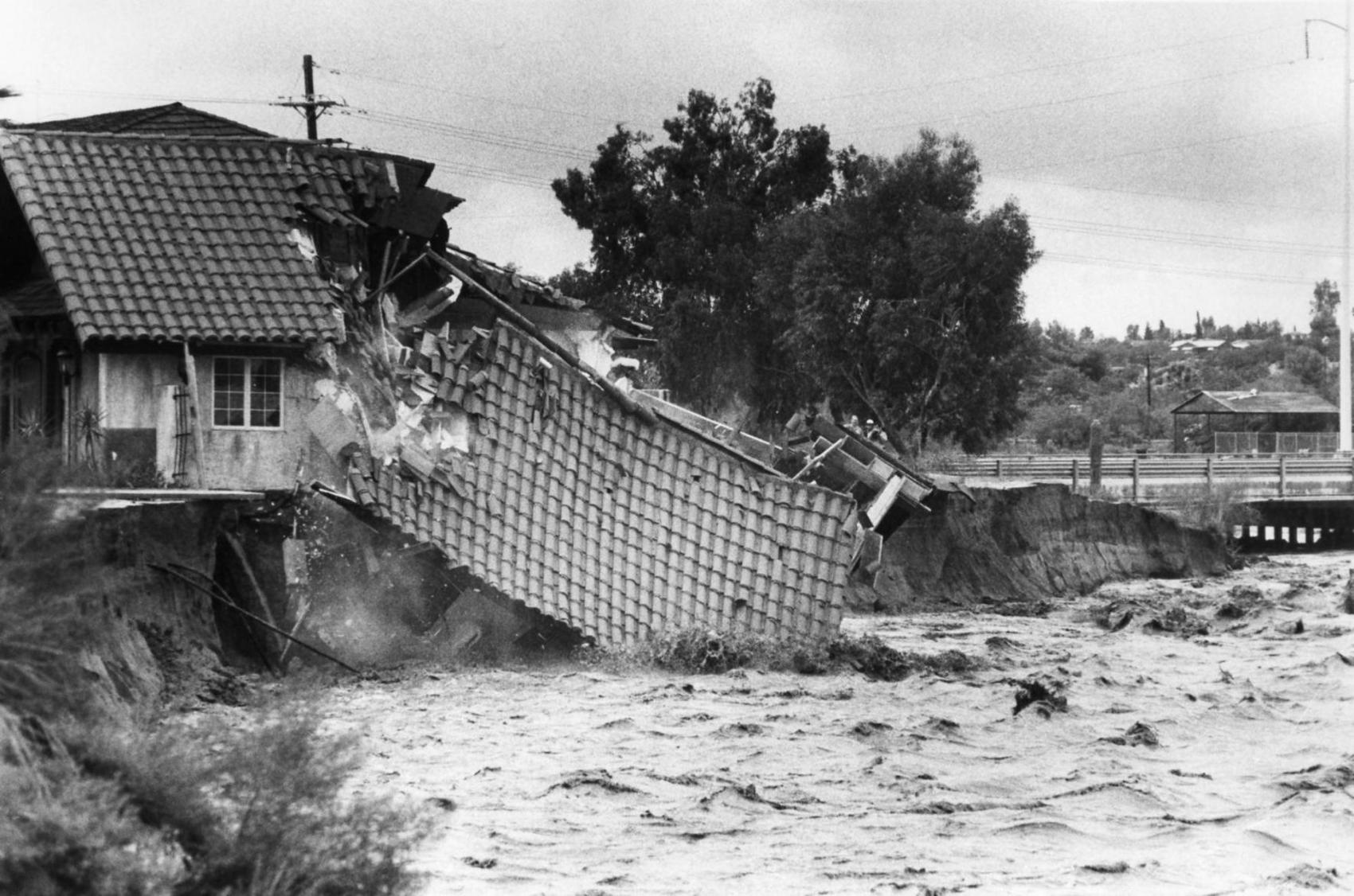
Strong El Niño events historically correlate with above-average winter rain in Arizona and have produced severe flooding, he said, but he cautioned that the history of such things is sparse.
“What we can say is that by March we should have reasonably full rain gauges everywhere.”
Ken Drozd, warning coordination meteorologist for the National Weather Service in Tucson, said El Niño has a “pretty strong correlation to having a wetter-than-average cool season. Maybe we’ll get some decent mountain snows and some valley rains and replenish some groundwater.”
It also increases the odds for flooding events over the next month or so from tropical storms and hurricanes in the Pacific, he said. Similar conditions produced severe flooding across the state in 1983 and 1997.
“We are still watching the tropics as these systems continue to develop and see if we have a favorable pattern to capture that moisture and bring it up here.”
Even when the moisture comes, there is no guarantee of heavy rain, as the past week demonstrated, he said. “When it’s just clouded over like this, it is difficult to get the heating necessary to produce stronger storms.”
Moisture from Tropical Storm Linda produced six consecutive days of overcast skies but little rain. “We got clouded on more than anything,” Crimmins said.
On his MadWeather blog, meteorologist Bob Maddox called this week “a serious waste of an unusually moist atmosphere.”

