Doug Kreutz, The Star’s outdoors expert, shares his favorite summer hikes:
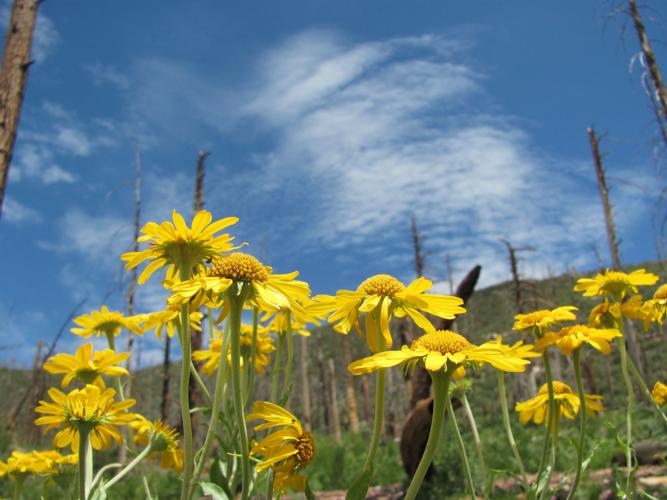
Bright yellow wildflowers show off shamelessly amid the otherwise buff-brown hues of the forest floor.
Ferns unfurl their fronds in the shade of tall pines.
A skinny little stream sometimes slithers down a deep-cut canyon.
Such are the sights on a late spring or summer ramble on the Palisade Trail in the Santa Catalina Mountains north of Tucson.
INTO THE WOODS
From a trailhead at 7,850 feet, the route begins in pine-forest terrain and gradually descends into an open mixed woodland of pines and oaks.
You’ll pass near cabins at summer camps during the first 0.6 of a mile of the hike.
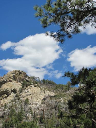
Rugged rock formations and wooded ridges dominate the view in some directions. But you might also see standing dead trees and fire-scorched logs along parts of the trail from the Aspen Fire in 2003.
A SMALL STREAM
An unsigned side trail, about half a mile from the trailhead, leads to the bottom of a canyon where a small stream forms pools after rains.
Tread carefully if you descend this steep and uneven trail segment.
ONTO MUD SPRING
OK, a water source known as Mud Spring might not sound enticing, but many hikers use the spring site — 2.9 miles from the trailhead — as a destination and turnaround point for a day hike.
The spring, at 6,400 feet, often produces quite clear water despite its name. It’s still important to filter or treat the water if you intend to drink it.
The Palisade Trail continues down, down and down some more to a junction with the East Fork Trail at 4,100 feet. The one-way distance from the trailhead to that junction is 6.8 miles.
Connecting trails lead to Sabino Canyon.
TO THE TRAILHEAD
Take Tanque Verde Road to the Catalina Highway and follow the highway to a left turnoff for Organization Ridge Road. It’s between mileposts 19 and 20. Drive about a half-mile on the road, which leads to summer-camp sites, and watch for the signed trailhead on the right.


