

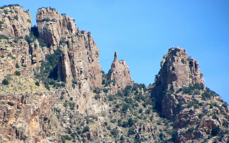

No mystery as to how the Finger Rock Canyon Trail got its name. A glance up from the path provides the answer.
A tall, thin blade of stone that resembles a finger pointing at the sky towers over the trail in the Catalina Mountains north of Tucson. It’s a well-known Tucson landmark, visible from many parts of the city.
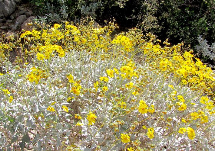
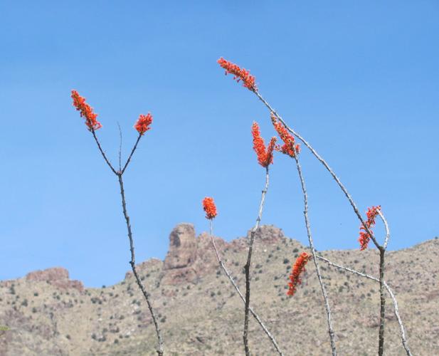
Hiking the route at this time of year provides views not only of “the finger” but also of desert vegetation in brilliant bloom.
TREK THE TRAIL
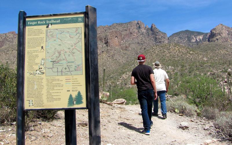
The trail, which begins at a trailhead with a large parking lot at the northern end of Alvernon Way, extends five miles to the 7,255-foot summit of Mount Kimball.
With an elevation gain of more than 4,000 feet along the way, it’s a steep, challenging round-trip trek of 10 miles for those who choose to hike the entire route.
But here’s the thing: There’s no need to hike the entire route.
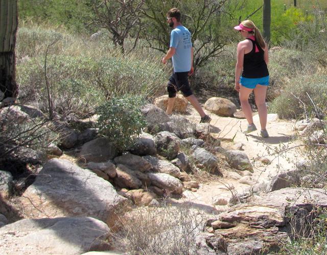
An easy amble on the first mile or so of the trail gives hikers views of spring blooms and the famous digit.
Those who continue up the trail to Linda Vista Saddle at the 3-mile point get spectacular views of rugged canyons and distant mountain ranges. But reaching that point involves traversing some steep and rocky stretches with an elevation gain of more than 2,000 feet along the way.
Especially in these very warm to hot days of spring, starting early and keeping the hike on the short side is probably a good idea.
Be aware that the trail doesn’t lead to Finger Rock itself. To reach the rock, hikers must leave the trail and bushwhack in rugged terrain to the base of the pinnacle. Rock-climbing skills and equipment are necessary for those who want to reach the top of the finger.
Dogs are prohibited on the trail to prevent interference with bighorn sheep that are sometimes in the area.

