


Once flood-prone areas in midtown and downtown Tucson soon could be removed from federal floodplain maps.
“This is a great Christmas present for 600 property owners,” said Tucson City Councilman Steve Kozachik, whose council ward covers some of the affected neighborhoods.
Kozachik calls the changed designation a gift because those property owners likely will save hundreds of dollars each year because removal from Federal Emergency Management Administration flood maps means they no longer would have to buy flood insurance.
That’s a byproduct of a more than 20-year regional capital improvement project that saw the construction of new washes, culverts and detention basins stretching across a large swath of the city.
The Arroyo Chico project was a multiyear, $72 million flood control project that was completed in April.
“They’re physically out of the floodplain with the improvements we’ve made,” said Bill Zimmerman, deputy director of Pima County Regional Flood Control District.
Those improvements included upgrades to above- and below-ground sections of the Arroyo Chico wash, which runs from about Reid Park to the Santa Cruz River.
Along the way, new runoff detention basins were built, including the entire Randolph Dell Urich Golf Course.
The course was designed as a massive retention basin for neighborhood storm-water runoff.
Another detention area was built near Kino Parkway and 18th Street at the Cherry Field baseball fields.
The wash then angles northwest through neighborhoods around Tucson High School and Fourth Avenue before crossing Sixth Street and emptying into the Santa Cruz.
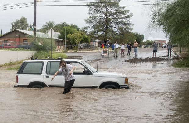
For years, however, neighborhood runoff from heavy monsoon and winter rains caused Arroyo Chico and other washes that feed it to overflow. Flooding along neighborhood streets in and around the Fourth Avenue area were common.
A major cause of the frequent urban flooding in the area was the aged drainage system, which was designed in the 1920s and 1930s.
Added to that, growth and urbanization caused more neighborhood runoff to inundate the areas with each major rainfall.
Zimmerman said the county still needs to complete all the FEMA-required paperwork to have the properties in the surrounding areas officially removed from flood maps.
That should occur in January, after which FEMA requires a 90-day comment period for anyone to contest the changed designation.
“We’re getting ready to send out the letters to notify” property owners, Zimmerman said.
Throughout the 20-year construction process, the Arroyo Chico and related improvements have resulted in the removal of 1,047 structures from the floodplain, Zimmerman said.
Kozachik said intergovernmental cooperation was the key to completing the project for the benefit of residents.
“I’m grateful for the hard work by the County, and have to say that Congresswoman (Martha) McSally’s office jumped right on board to help when I called them,” he said. “Without all hands on deck, this could have taken three to five years.”
The Army Corps of Engineers also participated in the planning and design of the projects.

