


A two-man team at the University of Arizona is using a low-cost way to track the descent of the Chinese space station Tiangong-1 as it falls to Earth in the next few days.
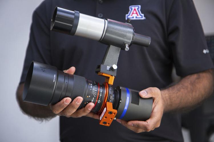
To do so, they developed an optical sensor system and accompanying image-processing software in four months for only $1,500.
“We basically took the sensitivity of an astronomical camera and the aperture of a wide-field camera lens,” said Vishnu Reddy, assistant professor of planetary sciences who, along with aerospace engineering graduate student Tanner Campbell, saw the project to fruition.
Astronomical cameras can track slow-moving objects, such as stars as they trek across the night sky. It’s more difficult, however, to keep up with objects that move quickly because they are relatively nearby in low-Earth orbit, such as the space station.
Plus, telescopes usually have a narrow field of view, making tracking even more complicated.
“It’s the difference between watching a bald eagle and a hummingbird,” Reddy said, comparing tracking asteroids, his more typical subject of study that are located farther from Earth, to tracking the rogue space station, which is orbiting 121 miles from the surface at less than 16,800 mph.
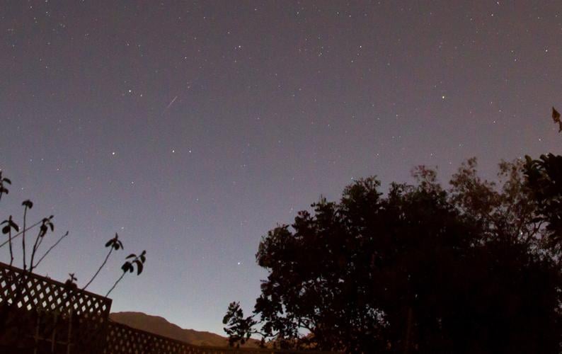
Reddy and Campbell have had their eyes on and off Tiangong-1, which at 8½ tons is roughly the size of a school bus, since mid-January. They are comparing their data with the Air Force, which uses radar to collect orbital data on objects in low orbit and publishes its results daily.
And no, Reddy and Campbell’s system is not as accurate as the Air Force, but it is more accessible.
“Radar can collect a lot of data on a lot of objects for a lot of money with high accuracy,” Reddy said. Reddy and Campbell’s optical sensors, “can get good data for a few objects with almost no money.”
Reddy hopes to take his system further. Rather than try to replace the radar system, their technology can complement it, Campbell said in a prepared statement.
In a few months, Reddy hopes to have several of his optical sensors on a mountain tracking multiple objects. He’s also working to install an array of them at Biosphere 2 north of Tucson for use by students and public education.
“Basically, we’re trying to develop methods that are cost-effective for the taxpayer, train the next generation of scientists and engineers like Tanner and show the world that we can be better stewards of our precious orbital space,” Reddy said.
Reddy also imagines installing his system in firehouses across the country as a backup if the centralized radar system — which is tasked with keeping tabs on space debris or adversarial assets in orbit for national security — were ever rendered nonoperational. Firehouses, the thinking is, are conveniently located throughout the country and staffed around the clock.
The expected re-entry time of the Chinese space station is 7 a.m. Sunday — give or take 16 hours — between the latitudes of 43 degrees north and 43 degrees south, roughly covering most of the United States, China, Africa, southern Europe, Australia and South America. The lack of precision is caused by atmospheric drag, which makes tracking and predicting the renegade space station complex.
And stay calm. The likelihood that you could be hit by falling space debris is basically zero — since most of the station, roughly 90 percent of it, is expected to burn up when in re-enters Earth’s atmosphere.

