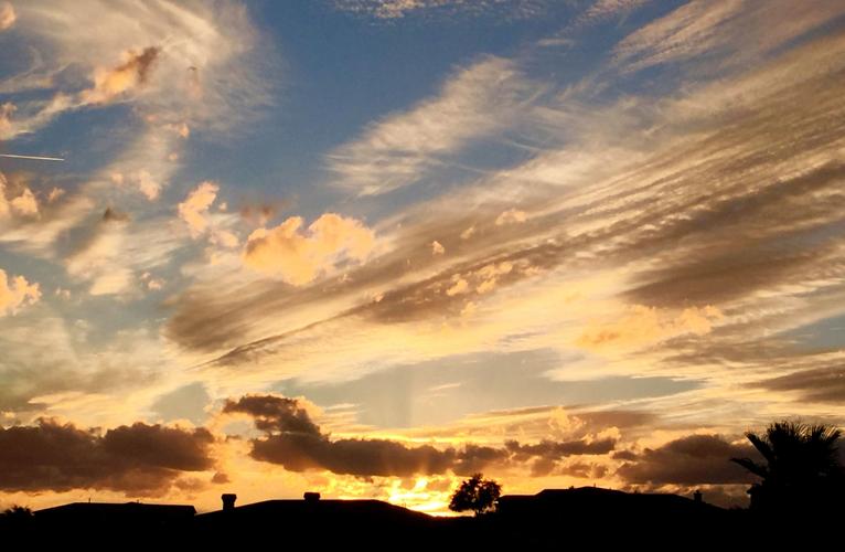
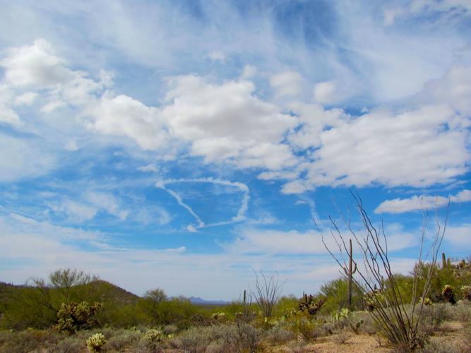
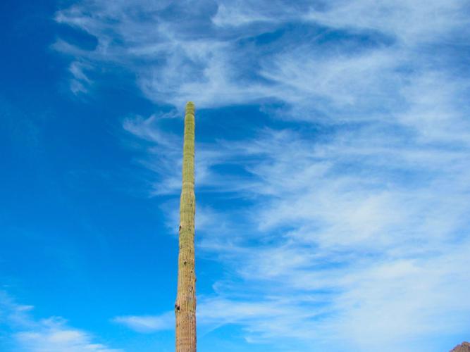
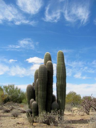
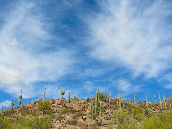
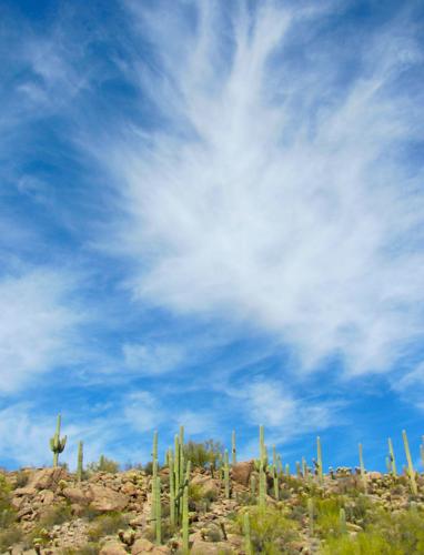
Southern Arizona skies have hosted a sort of Festival of Clouds over the past week — with the overhead show serving up everything from fluffy white cumulus and high-flying filaments of cirrus to rain-bearing nimbostratus and a passing patch of altocumulus for good measure.
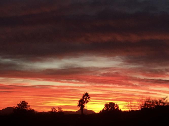
Near sunrise and sunset, many of the clouds take on an air of the exotic with glowing displays of color and light.
“One of the fantastic things about Southern Arizona is the great visibility and the awesome beauty of clouds,” said Chris Rasmussen, a meteorologist with the National Weather Service in Tucson. “It’s an awesome experience just to look up at a cloud.”
Rasmussen, who said his fascination with clouds is one of the main reasons he became a meteorologist, described a few of the distinctive clouds that have graced our skies as weather fronts have drifted through the area.
“There are 10 basic types of clouds and three levels of clouds — low, mid-level and high,” he said. “Whenever we have a weather system come in, we get a certain type of clouds beforehand and, later, other types of clouds. Before a weather system, we usually see some cirrus clouds.”
Sometimes described as “wispy,” cirrus clouds are composed of ice crystals and have a transparent character depending on the degree of separation of the crystals.
As a system moves in, we might see cirrostratus clouds — “a thicker type of clouds with no clear edges,” Rasmussen said.
Later, stratus, a generally gray cloud layer can produce drizzle if it becomes thick enough.
“Stratus means a kind of undefined cloud — kind of gooey, if you will,” Rasmussen said.
If rain is in the offing, nimbus clouds often come into play.
“These relate to some type of rain or precipitation,” Rasmussen said, noting that rain-bearing clouds include cumulonimbus and nimbostratus.
After a weather front — possibly with rain — has passed its peak, cumulus fractus clouds sometimes appear. These are small, ragged cloud fragments — sometimes resembling torn pieces of cotton.
“Cumulus fractus are usually indicative of an unstable air mass after storms have come and gone,” Rasmussen said. “They are residual — or scrappy-looking residual.”
These are some, but not all, of the varying, ever-evolving cloud types we might have seen over Southern Arizona in the past week.
At other times of the year, other types of clouds dominate. Most Southern Arizonans are familiar with towering white cumulus and dark cumulonimbus clouds associated with the monsoon in July and August.
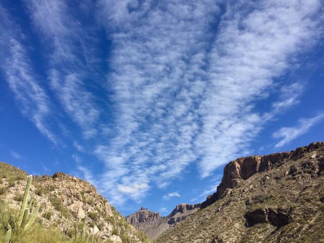
At other times, moisture and wind patterns can produce quirky and fascinating cloud patterns such as one called “mackerel sky.”
“Mackerel sky is typically formed by altocumulus clouds” arranged in a rippling pattern similar in appearance to fish scales, Rasmussen said.
Knowing the names of clouds and cloud formations can be satisfying, but it’s not necessary. It’s enough, for many of us, simply to look up and marvel.


