Monsoon season starts this Thursday, but desert dwellers might have to wait a while longer for the actual rain to roll in.
Forecasters are predicting a delay in the seasonal storm cycle across Southern Arizona, and that could lead to a hotter and drier summer overall.
“At this point, I’m not expecting a total monsoon bust. This looks a little different,” said University of Arizona climatologist Mike Crimmins. “But I am preparing myself for a late start.”
The Southwest monsoon season officially begins on June 15 and lasts through September, though weather data from the past 80 years shows Tucson often doesn’t see its first storm activity until early July.
Crimmins said a “weird trough of low pressure hanging around” in recent weeks has kept Tucson's temperatures in the double digits for the most part, but it has also prevented the formation of the high pressure ridge that helps give rise to our monsoon storms.
That ridge typically forms in southern Mexico and gradually works its way up to us. So far, though, there has been no sign of it, Crimmins said. “It can’t jump over Mexico. It really has to start there and build north.”

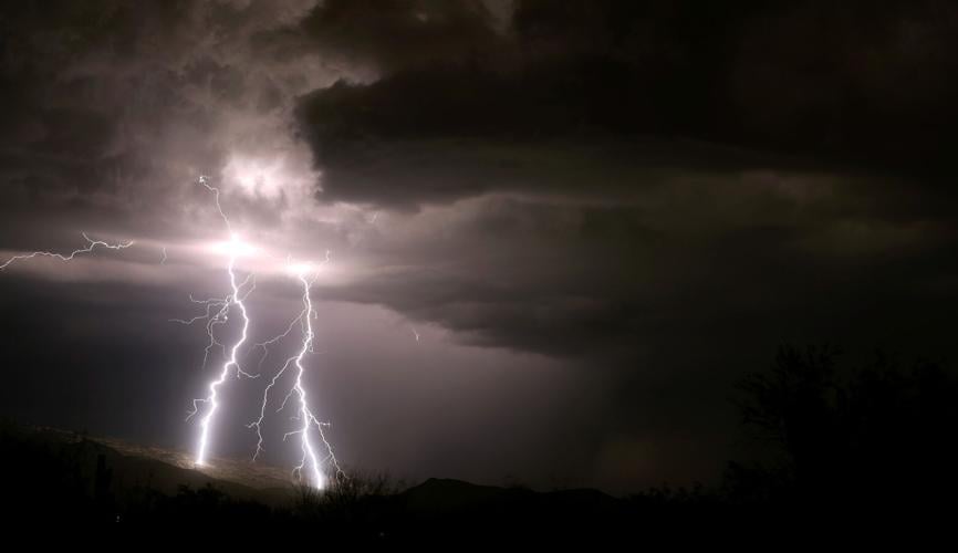
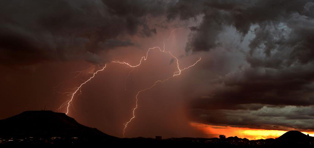
Twin bolts hit the southern slopes of the Rincon Mountains as a monsoon storm rolled in over Vail on Aug. 6, 2022.
Below-normal rainfall predicted
The latest seasonal forecast from the National Weather Service’s Climate Prediction Center points to below-normal precipitation for New Mexico and most of Arizona through August. The long-range outlook also favors above-average temperatures for Arizona and New Mexico over the next three months.
Those precipitation and temperature forecasts both suggest the possibility of a late-developing monsoon pattern, though the farther out such weather predictions get, the less accurate they tend to be.
“This could all go down the tubes,” said Crimmins, who is a professor and extension specialist in the UA’s Department of Environmental Science.
For one thing, climate researchers still don’t entirely agree about what factors influence monsoon activity and to what degree, he said. “It’s a frustrating time (to be a forecaster), because we have all these statistical models and supercomputers, but we’re still squinting at the output.”

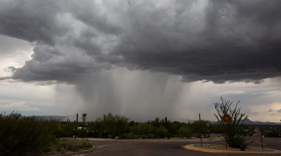
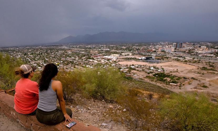
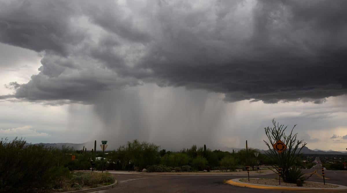
A monsoon storm over the Santa Catalina Mountains as seen from "A" Mountain in Tucson.
Flood tracking network grows
The Pima County Regional Flood Control District is preparing for monsoon season by expanding the reach of its flood tracking network known as ALERT, which is short for Automated Local Evaluation in Real Time.
Since last year, five streamflow gauges and six rain gauges have been added to a system that now tracks precipitation at 125 locations and flood flows at 54 locations countywide.
The regional flood agency has also installed two new live cameras along washes in the Catalina Mountains to watch for increased flooding as a result of the Bighorn Fire, which burned across the range in 2020, scorching vegetation that once absorbed water and reduced erosion.
That brings the total number of live cameras to five, all of them in the Catalinas and all paid for through a state forestry grant program to help with wildfire recovery.
And plans are already in the works for future additions to the ALERT system, including the first of what could be several rain and streamflow gauges on tribal lands administered by the Pascua Yaqui and the Tohono O’odham.
“The district has a history of working with other jurisdictions in a positive, collaborative way, and we’re hopeful that we can forge a bond with the Indigenous communities that are such an integral part of Pima County,” said Brian Jones, deputy director and floodplain administrator for the district.

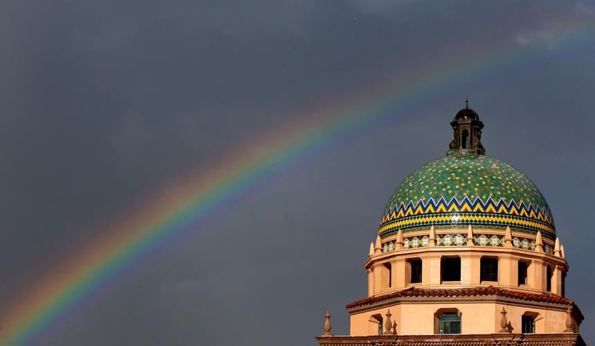
A rainbow appears over the historic Pima County Courthouse following a rainstorm in downtown Tucson, Ariz. on Sept. 13, 2022.
El Niño developing
Climate forecasters are also tracking the development of a potentially powerful El Niño, the tropical ocean climate phenomenon that typically brings winter rains to the Southwest.
“It’s definitely there in the Pacific, and it seems to be expressing some strength,” Crimmins said. “We’ve been watching it sort of percolate since last winter, but it’s really starting to come together now.”
El Niño’s impact on the Southwest monsoon pattern is not “super consistent,” he said, though it can extend the tropical storm season in the Gulf of California and occasionally produce heavy downpours across Southern Arizona in the fall.
The effects of El Niño are much more predictable during the winter, when the phenomenon often — but not always — leads to wetter conditions in the region.
Crimmins said another wet winter on the heels of last year’s near-historic snow accumulations throughout parts of the West would do wonders for water supplies and lingering drought conditions, especially in Arizona and the six other states that rely on the Colorado River.

Lightning strikes behind Tumamoc Hill just after sunset on Aug. 23. The storms produced localized flooding from heavy rains.
Big swings in recent years
In 2021, Tucson experienced its third-wettest monsoon on record, with a whopping 12.79 inches of rain at the city’s official weather station at Tucson International Airport. More than 8 inches fell that July alone, the most rain Tucson has seen in any month for the past 126 years at least.
Last year ranked as a below-average monsoon, with just under 5 inches of rain over the course of the season.
But even that felt like a lot compared to 2020, when Tucson suffered through its second driest monsoon ever — a paltry 1.62 inches of rain — on its way to a historically low annual rainfall total of just 4.17 inches.
Crimmins doesn’t expect anything like that to happen again this year. Monsoon 2023 might show up late, he said, but “it will happen, I promise.”
The climatologist offered an important clarification moments later, after reflecting on his use of the word “promise.”
“There will definitely be a monsoon ridge,” he explained with a laugh. “I can’t promise it will rain at your house.”


