


One of the strongest El Niño patterns on record failed to bring expected wet weather to Southern Arizona this winter.
“The six previous strong El Niños have a high correlation with wetter winters,” said Ken Drozd, of Tucson’s National Weather Service office. Drozd said the winter months of December through March in those past years produced average rain totals of 6.25 inches.
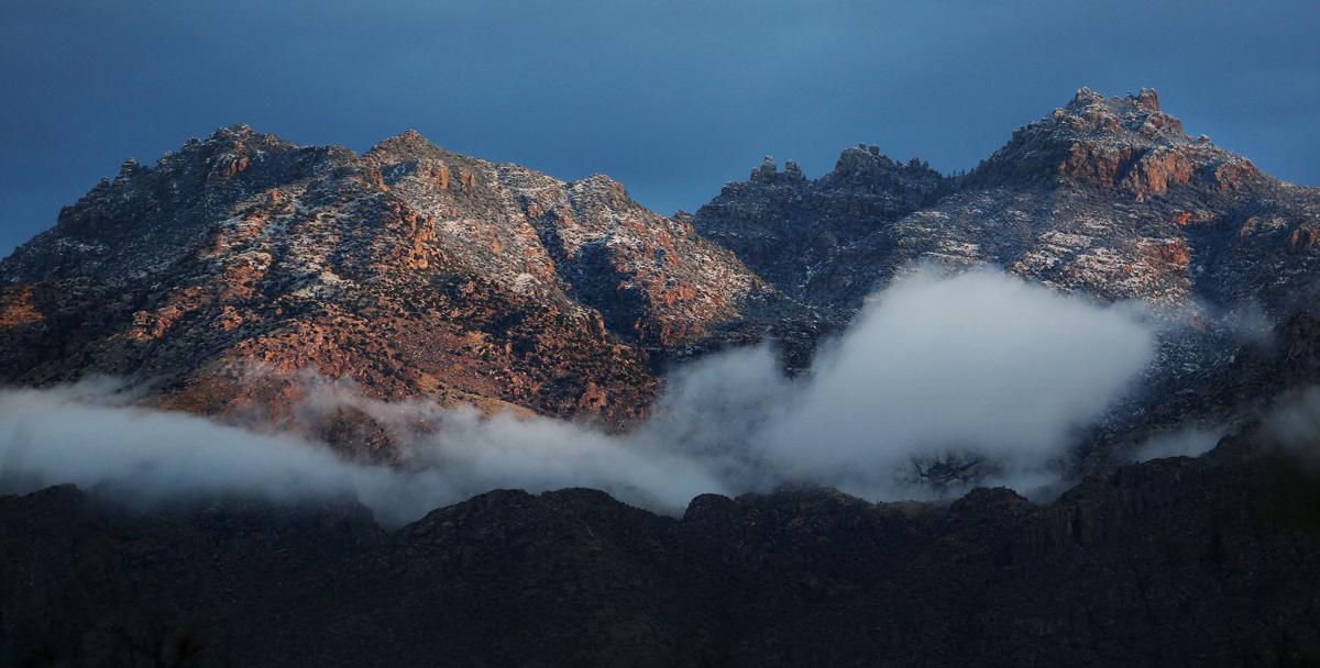
This year, Tucson officially received 3.46 inches of rain in those months. Tack on April’s 0.71 inches and you still fall far short of wet.
Drozd noted that data on El Niño, the warming of the waters of the equatorial Pacific, is scant. “You’re dealing with a small sample,” he said — just seven events since 1950, counting this year.
Areas of the country did get soaked this year. Weather systems that soaked the Pacific Northwest passed us by to the north. Storms that soaked the Gulf Coast skirted us on the south, Drozd said.
Thursday’s whiff of rain will be followed by the driest stretch of the year. May produces 0.23 inches of rain on average.
The first part of June is usually rainless, with its 0.20 inches usually coming from an early start to the monsoon late in the month.
Drozd titled his briefing Thursday: “El Niño or El Nono?”

