


Fall is already here, but summer went out swinging.
Last month was the warmest September on record in Tucson, according to the National Weather Service, marking 24 straight months of above-average monthly temperatures.
The monthly average temperature in September was 84.9 degrees, 3.3 degrees above average. The previous high was set in September 2000, when the monthly temperature reached 84.8 degrees.
For 11 straight days, between the 8th and the 18th, the high at Tucson International Airport, the NWS official recording station, was 100 degrees or hotter. The monthly high was 105 on the 14th and 15th.
“In the middle of the month, we were under the influence of a high-pressure system,” said Aaron Hardin, meteorologist at NSW Tucson, which can happen as the monsoon transitions out. “”It’s not a favorable pattern and scours out moisture and keeps us hot.”
The monsoon season ended Sunday. The remnants of Hurricane Rosa brought Monday’s rain.
The 11-day heat streak fell only one day short of surpassing the 1955 record for the most triple-digit highs in September. None of the other record-holding, triple-digit streaks have trended so late in the month.
Every day was above 90 degrees except for two, the 19th and 20th, after a spat of rain caused by a tropical storm temporarily cooled things off.
Looking at October, a low-pressure system should keep things cool in the first part of the month, Hardin said.
But fall temperatures overall could trend slightly above average, according to the Climate Prediction Center, so we should enjoy the cool weather while it’s here.
And in case you’re wondering, 2018 is, so far, the warmest year on record for Tucson, coming in at 75.4 degrees.
Photos: Monsoon 2018 and other rainstorms in Tucson
Monsoon Storm Over Tucson AZ
Updated
Monsoon storm on August 16, 2018 over Tucson AZ viewed from the foothills
Monsoon lightning Tucson 8-22-18
Updated
Monsoon storm over downtown Tucson
Monsoon Storm Rolls in Over Sunset
Updated
Monsoon Covers Sunset Over Tucson
After the monsoon
Updated
Cows grazing
"Twister i n the Clouds"
Updated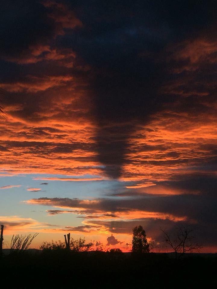
Sun's shadow on the clouds
Hurricane Rosa
Updated
A man who said his backyard was flooded tries to dislodge debris from a wash behind homes at N. Cerius Stravenue and W. Calle Maverick during rain from the remnants of Hurricane Rosa in Tucson, Ariz., on Oct. 1, 2018.
Hurricane Rosa
Updated
Workers from the Tucson Dept. of Transportation load sandbags for residents during rain from the remnants of Hurricane Rosa in Tucson, Ariz., on Oct. 1, 2018.
Hurricane Rosa
Updated
A tow truck driver eyes a flooded section of Silverbell Road at W. Benjamen Road during rain from the remnants of Hurricane Rosa in Tucson, Ariz., on Oct. 1, 2018.
Hurricane Rosa
Updated
Steady rain today brought puddles to reflect the beauty in Brandi Fenton Memorial Park on the University of Arizona campus on October 1, 2018 in Tucson, AZ.
Hurricane Rosa
Updated
Steady rain today brought puddles throughout town including this intersection at University Blvd and Cherry Ave. on the University of Arizona campus on October 1, 2018 in Tucson, AZ.
Tucson monsoon 2018
Updated
Grocery shoppers hustle to and from their cars as a late-season weather system brought rain to the city and surrounding areas on Sept. 19, 2018, as seen in Oro Valley, Ariz.
Tucson monsoon 2018
Updated
Students try their best to above rain runoff in the streets around the University of Arizona campus as a late-season weather system brought rain to the city and surrounding areas on Sept. 19, 2018, as seen in Tucson, Ariz.
Tucson monsoon 2018
Updated
A man tries to clear collected rain runoff in the streets around the University of Arizona campus as a late-season weather system brought rain to the city and surrounding areas on Sept. 19, 2018, as seen in Tucson, Ariz.
Monsoon 2018
Updated
A widespread monsoon storm produced steady rain all afternoon but no rainbows in the sky, however at ground level a pedestrian with a rainbow umbrella crosses Scott at Pennington, Wednesday September 19, 2018, Tucson, Ariz.
Cienega vs Cholla
Updated
Lightning stabs the night just to the east of the football field at Cholla High where monsoon storms with postponed the Chargers game with Cienega and all Friday, August 24, 2018, games. The Cholla/Cienega game was moved to Saturday at 9 a.m. at Cholla, Tucson, Ariz.
Pueblo vs. Tucson high school football
Updated
Despite threatening clouds overhead, Matthew Sanchez marches on with his brass contribution in the Tucson Marching 100 band just prior to a lightning delay at the Pueblo vs. Tucson high school football game at Tucson High Magnet School, 400 N. 2nd Ave., on Aug. 24, 2018, in Tucson, Ariz.
Cienega vs Cholla
Updated
The onset of the rain drives the last fan to seek shelter from the storm, after earlier lightning strikes had driven the crowd for Cienega's game at Cholla High School to the safety of the school gym, Friday, August 24, 2018, Tucson, Ariz.
Monsoon 2018
Updated
Johnny Romero fights the wind and rain to hold down a pop-up tent outside a friend's house in Menlo Park near Sentinel Peak on Aug. 22, 2018, in Tucson, Ariz.
Monsoon 2018
Updated
Some people just couldn't wait any longer as traffic was tied up for hours on Thornydale Rd. just south of Overton Rd. following a heavy rainstorm on August 22, 2018 in Tucson, AZ. Several washes run across a long stretch of Thornydale from Carter Farms north past Linda Vista Rd.
Monsoon 2018
Updated
A bolt strikes just north of downtown, part of one of dozens of localized monsoon storm cells that moved through the area dumping rain, winds and lightning, Wednesday, August 22, 2018, Tucson, Ariz.
Monsoon 2018
Updated
A bolt strikes just north of the University of Arizona, part of one of dozens of localized monsoon storm cells that moved through the area dumping rain, winds and lightning, Wednesday, August 22, 2018, Tucson, Ariz.
Uprooted Tree
Updated
One of the dozens of trees that were blown over at Sunset Point Wednesday August 22nd, 2018 by a powerful monsoon storm that uprooted dozens of full sized trees as hail and rain pelted the northwest near Cortaro Farms and Camino de Oesta.
Fallen Tree
Updated
A red Mustang is covered by a fallen pine tree at Sunset Point Wednesday August 22nd, 2018 after the Northwest was hit by a powerful monsoon storm that uprooted dozens of full sized trees, broke off branches of other and peppered the area with hail.
Clouds over "A" Mountain
Updated
People gather to watch a dramatic sunset as clouds roll in over the Tucson Mountains on August 20, 2018 in Tucson, AZ.
Clouds over "A" Mountain
Updated
People gather to watch a dramatic sunset as clouds roll in over the Tucson Mountains on August 20, 2018 in Tucson, AZ.
Clouds over Tucson
Updated
Clouds swirl across the city and the Santa Catalina Mountains during a dramatic sunset over Tucson on August 20, 2018 in Tucson, AZ.
Monsoon 2018
Updated
Monsoon clouds color the sky around the sun as it sets behind Brown Mountain in Tucson Mountain Park, Wednesday, August 15, 2018, Tucson, Ariz.
Monsoon 2018
Updated
The setting sun has just enough left to spark a rainbow in monsoon clouds high over the Tucson Mountains , Wednesday, August 15, 2018, Tucson, Ariz.
Monsoon 2018
Updated
A bolt hits in the Santa Rita Mountains southeast of Tucson as monsoon storms surround the valley on August 7, 2018.
Oro Valley
Updated
Pusche Ridge
Lightning U of A 8-11-18
Updated
Welcome to Tucson students.
Pusch Ridge Oro Valley
Updated
Clouds over the mountain
Lightning at Night
Updated
Storm over Tucson 8/1/18
Zap!
Updated
Lightning, downtown Tucson.
Monsoon Sky
Updated
Monsoon storm moving in over the Catalinas
Fire Sky
Updated
Monsoon sky at Stone Canyon Club
Pretty in Pink
Updated
Oro Valley sky
Hot Weather
Updated
With the help of Jaleesa Lopez, 10, far right, his sister, Orlando Celaya, 1, sprays his brother, Marsaleno Oliver, 7, while cooling off in the splash pad at Catalina Park on July 23, 2018. Jessica Lopez, their mother, said the air-conditioning in the house broke down and she brought her kids to the splash pad to cool off as the outdoor temperature soared beyond 105-degrees.
Tucson monsoon sunset
Updated
A young couple takes in monsoonal cloud sunset over the Tucson Mountains as they endure gusty updrafts at a lookout on Sentinel Peak on July 18, 2018, in Tucson, Ariz.
Monsoon 2018
Updated
Monsoon 2018 takes a breath, things kind of quiet on the weather front just after sunset over the Father Kino statue at Kino and 15th St., Wednesday July 11, 2018, South Tucson, Ariz.
Monsoon 2018
Updated
Clouds put on a show today with a variety of ever-changing shifting, rolling and scattering on July 18, 2018 in Tucson, AZ.
Monsoon 2018
Updated
Clouds put on a show today with a variety of ever-changing shifting, rolling and scattering on July 18, 2018 in Tucson, AZ.
Tucson Monsoon 2018
Updated
A flood area sign lays in monsoon rain runoff on South Plumer Avenue in midtown on July 12, 2018, in Tucson, Ariz.
Monsoon 2018
Updated
While monsoon storm clouds build over the Santa Catalina mountains, workers assemble a new crane on-site for construction on The Mark student housing near Broadway Boulevard and Park Avenue on July 10, 2018, in Tucson, Ariz. A fire crippled one existing crane and damaged a second, larger one.
Tucson Monsoon 2018
Updated
Justin Grob, 16, goes for a jaunt in the monsoon rain runoff along South Plumer Avenue in midtown on July 12, 2018, in Tucson, Ariz.
Tucson Monsoon 2018
Updated
A motorists decides better of it by turning around at the Arroyo Chico Wash along South Plumer Avenue in midtown on July 12, 2018, in Tucson, Ariz.
Tucson Monsoon 2018
Updated
A City of Tucson worker stands a flood area sign at the Arroyo Chico Wash and South Plumer Avenue in midtown on July 12, 2018, in Tucson, Ariz.
Tucson Monsoon 2018
Updated
A motorist takes their chances by sending the rushing Arroyo Chico Wash at Plumer Avenue after an afternoon monsoon storm in midtown on July 12, 2018, in Tucson, Ariz.
Monsoon 2018
Updated
Droplets invert the image of a saguaro at Saguaro National Park East along Freeman road during a monsoon storm, Tuesday July 10, 2018, Tucson, Ariz.
Tucson monsoon
Updated
Lightning and Ocotillo meet as a late evening storm moves across Oro Valley towards the Tucson Mountains on July 8, 2018 north of Tucson, AZ.
Monsoon 2018
Updated
Union Pacific train derailment on the east side of I-10 just north of Twin Peaks Road in Marana on July 10, 2018.
Tucson Monsoon 2018
Updated
Vehicles negotiate the water flooding down the washes and sides of Thornydale Rd between Cortaro Rd. and Hardy Rd following a monsoon storm that swept down the westside of Oro Valley and Tucson, AZ on July 10, 2018 .
Monsoon 2018
Updated
Union Pacific train derailment on the east side of I-10 just north of Twin Peaks Road in Marana on July 10, 2018.
Monsoon 2018
Updated
Motorists are met with driving rain West Ina Road near La Cholla Blvd. on July 10, 2018, in Tucson, Ariz. Strong monsoon storms pummeled the northwest side.
Tucson Monsoon 2018
Updated
Two men carry on their conversation under a ramada as a monsoon cell opens up around them near 6th Avenue and Bilby Road on July 5 2018, in Tucson, Ariz.
Monsoon 2018
Updated
A highly localized downpour in the foothills of Santa Catalinas just north of downtown as several small but intense cells dropped rain and high winds on the area during the first monsoon storm of the season, Wednesday July 5, 2018, Tucson, Ariz.
Sculpture on overpass
Updated
Tucson Dept. of Transportation workers examine a large light sculpture that fell onto the southbound lanes of the Kino Overpass at 22nd Street during monsoon activity on July 5, 2018.
Tucson Monsoon 2018
Updated
Motorists encounter the season's first monsoon rainfall near Nogales Highway and Los Reales Road on Tucson's southside on July 5 2018, in Tucson, Ariz.
Tucson Monsoon 2018
Updated
A monsoon storm cell brings rain to Tucson's southside, seen here at Super Carniceria y Pescaderia "El Ranchito" near 6th Avenue and Bilby Road on July 5 2018, in Tucson, Ariz.
Hot Tucson
Updated
Mike Livermore lowers his two-year-old grandson Michael Baker for a brief cooling-off in the stream near the Reid Park pond on July 5 2018, in Tucson, Ariz. Today is expected to be the hottest day of the year in Tucson.
Tucson Monsoon 2018
Updated
A monsoon rain cell drops somewhere in Tucson, as seen from near 36th Street and Kino Parkway on July 5, 2018.
Tucson Monsoon 2018
Updated
A pedestrian sprints through monsoon rainfall on Park Ave. near Irvington Road, Tucson, on July 5, 2018.
Sculpture on overpass
Updated
Tucson Dept. of Transportation workers examine a large light sculpture that fell onto the southbound lanes of the Kino Overpass at 22nd Street during monsoon activity on July 5, 2018.
Sculpture on overpass
Updated
Tucson Dept. of Transportation workers examine a large light sculpture that fell onto the southbound lanes of the Kino Overpass at 22nd Street during monsoon activity on July 5, 2018.
Sculpture on overpass
Updated
A large light sculpture that decorates the Kino Overpass at 22nd Street fell into the southbound lanes during monsoon activity on July 5, 2018.

